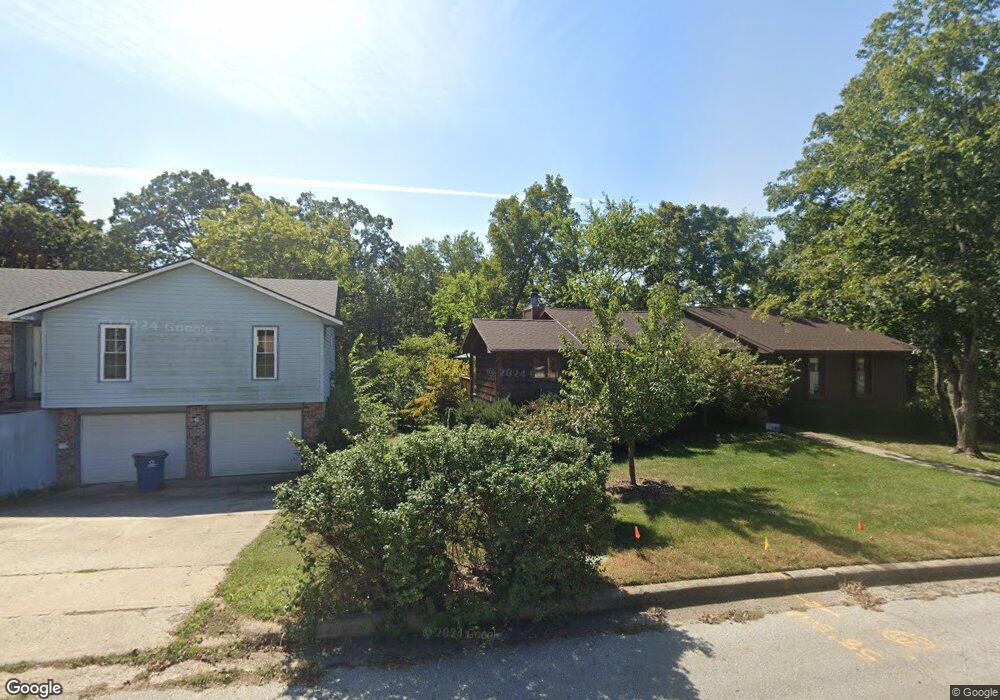
80 Council Trail Unit A Warrensburg, MO 64093
Estimated Value: $264,000 - $274,000
Studio
--
Bath
2,051
Sq Ft
$131/Sq Ft
Est. Value
About This Home
This home is located at 80 Council Trail Unit A, Warrensburg, MO 64093 and is currently estimated at $268,954, approximately $131 per square foot. 80 Council Trail Unit A is a home located in Johnson County with nearby schools including Maple Grove Elementary School, Martin Warren Elementary School, and Warrensburg Middle School.
Ownership History
Date
Name
Owned For
Owner Type
Purchase Details
Closed on
Dec 2, 2025
Sold by
Bourgeois Justin
Bought by
Jackson Denzel and Jackson Brandy
Current Estimated Value
Home Financials for this Owner
Home Financials are based on the most recent Mortgage that was taken out on this home.
Original Mortgage
$274,783
Outstanding Balance
$273,461
Interest Rate
6.23%
Mortgage Type
VA
Estimated Equity
-$4,507
Purchase Details
Closed on
Nov 18, 2019
Sold by
Francis Robert G and Francis Sara K
Bought by
Tripp Jonathan M and Tripp Natalia B
Home Financials for this Owner
Home Financials are based on the most recent Mortgage that was taken out on this home.
Original Mortgage
$170,445
Interest Rate
3.5%
Mortgage Type
VA
Purchase Details
Closed on
Oct 8, 2014
Sold by
Pallo Lillianne T and Pallo Jason
Bought by
Francis Robert G
Home Financials for this Owner
Home Financials are based on the most recent Mortgage that was taken out on this home.
Original Mortgage
$139,434
Interest Rate
4.13%
Mortgage Type
VA
Create a Home Valuation Report for This Property
The Home Valuation Report is an in-depth analysis detailing your home's value as well as a comparison with similar homes in the area
Home Values in the Area
Average Home Value in this Area
Purchase History
We collect this data history from publicly available records. To have your information removed, we recommend requesting removal directly through your county’s website.
| Date | Buyer | Sale Price | Title Company |
|---|---|---|---|
| Jackson Denzel | -- | Western Missouri Title | |
| Tripp Jonathan M | -- | Western Missouri Title Co | |
| Francis Robert G | -- | None Available |
Source: Public Records
Mortgage History
We collect this data history from publicly available records. To have your information removed, we recommend requesting removal directly through your county’s website.
| Date | Status | Borrower | Loan Amount |
|---|---|---|---|
| Open | Jackson Denzel | $274,783 | |
| Previous Owner | Tripp Jonathan M | $170,445 | |
| Previous Owner | Francis Robert G | $139,434 |
Source: Public Records
Tax History
| Year | Tax Paid | Tax Assessment Tax Assessment Total Assessment is a certain percentage of the fair market value that is determined by local assessors to be the total taxable value of land and additions on the property. | Land | Improvement |
|---|---|---|---|---|
| 2025 | $1,822 | $24,278 | $0 | $0 |
| 2024 | $1,719 | $22,516 | $0 | $0 |
| 2023 | $1,719 | $22,516 | $0 | $0 |
| 2022 | $1,664 | $21,702 | $0 | $0 |
| 2021 | $1,659 | $21,702 | $0 | $0 |
| 2020 | $1,614 | $20,886 | $0 | $0 |
| 2019 | $1,613 | $20,886 | $0 | $0 |
| 2017 | $1,609 | $20,886 | $0 | $0 |
| 2016 | $1,354 | $19,068 | $0 | $0 |
| 2015 | $1,390 | $19,068 | $0 | $0 |
| 2014 | $1,206 | $19,068 | $0 | $0 |
Source: Public Records
Map
Nearby Homes
- 511 Southwest Dr
- 730 Burlington Rd
- 1204 Live Oak Ln
- 629 Oakmont Dr
- 812 S Main St
- 715 Iron Horse Dr
- 708 Mahogany Ct
- 607 Oakmont Dr
- 602 Fountain Hills Dr
- 601 Darrow St
- 521 W Clark St
- 110 Deerfield Dr
- 367 B SE 70 Rd
- 318 S Main St
- 203 Fairway Dr
- 325 Mcgoodwin St
- 53 SW 150th Rd
- 0 Ming St Unit HMS2553469
- 70 Bb Hwy
- 214 Ming St
- 79 Council Trail
- 92 Council Trail
- 78 Council Trail
- 97 Council Trail
- 81 Grandview Dr
- 91 Grandview Dr
- 82 Grandview Dr
- 000 Spring Ridge Dr
- 96 Spring Ridge Dr
- 96 Spring Ridge Rd
- 77 Council Trail
- 83 Grandview Dr
- 76 Spring Ridge Dr
- 95 Spring Ridge Rd
- 95 Spring Ridge Dr
- 75 Walnut Way
- 84 Grandview Dr
- 74 Walnut Way
- 89 Grandview Dr
- 94 Spring Ridge Dr
Your Personal Tour Guide
Ask me questions while you tour the home.