80 Covered Bridge Rd Kunkletown, PA 18058
Estimated Value: $160,039 - $327,000
3
Beds
1
Bath
1,248
Sq Ft
$178/Sq Ft
Est. Value
About This Home
This home is located at 80 Covered Bridge Rd, Kunkletown, PA 18058 and is currently estimated at $222,760, approximately $178 per square foot. 80 Covered Bridge Rd is a home located in Carbon County with nearby schools including Palmerton Area High School.
Ownership History
Date
Name
Owned For
Owner Type
Purchase Details
Closed on
Nov 13, 2024
Sold by
Taschler Michael S and Green Debbie Lynn
Bought by
Green Debbie Lynn
Current Estimated Value
Purchase Details
Closed on
Sep 10, 1963
Bought by
Taschler Michael and Taschler Lucille
Create a Home Valuation Report for This Property
The Home Valuation Report is an in-depth analysis detailing your home's value as well as a comparison with similar homes in the area
Home Values in the Area
Average Home Value in this Area
Purchase History
| Date | Buyer | Sale Price | Title Company |
|---|---|---|---|
| Green Debbie Lynn | -- | None Listed On Document | |
| Green Debbie Lynn | -- | None Listed On Document | |
| Taschler Michael | -- | -- |
Source: Public Records
Tax History Compared to Growth
Tax History
| Year | Tax Paid | Tax Assessment Tax Assessment Total Assessment is a certain percentage of the fair market value that is determined by local assessors to be the total taxable value of land and additions on the property. | Land | Improvement |
|---|---|---|---|---|
| 2025 | $2,585 | $30,050 | $10,200 | $19,850 |
| 2024 | $2,416 | $30,050 | $10,200 | $19,850 |
| 2023 | $2,334 | $30,050 | $10,200 | $19,850 |
| 2022 | $2,224 | $30,050 | $10,200 | $19,850 |
| 2021 | $2,152 | $30,050 | $10,200 | $19,850 |
| 2020 | $2,122 | $30,050 | $10,200 | $19,850 |
| 2019 | $2,062 | $30,050 | $10,200 | $19,850 |
| 2018 | $2,062 | $30,050 | $10,200 | $19,850 |
| 2017 | $2,025 | $30,050 | $10,200 | $19,850 |
| 2016 | -- | $30,050 | $10,200 | $19,850 |
| 2015 | -- | $30,050 | $10,200 | $19,850 |
| 2014 | -- | $30,050 | $10,200 | $19,850 |
Source: Public Records
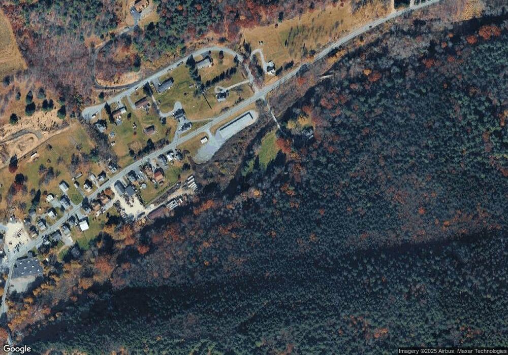
Map
Nearby Homes
- 4400 Little Gap Rd
- 5990 Little Gap Rd
- 2650 57 Rd
- 355 Hickory Rd
- 150 Red Oak Dr
- 1182 Quail Rd
- 2485 Summer Mountain Rd
- 295 Railbed Trail
- 0 Olive Rd
- 4083 W Mountain View Dr
- 1433 Deer Path Dr
- 3662 N Dogwood Rd
- 3983 Hastings Rd
- 1412 Heytesbury Rd
- 1410 Heytesbury Rd
- 0 Summer Mountain Rd
- 157 Viewtop Rd
- 131 Lobach Ln
- 0 Walnut Dr
- 0 Deer Path Dr Unit 767888
- 4655 Little Gap Rd
- 4560 Little Gap Rd
- 4525 Little Gap Rd
- 30 Douglas Ln
- 4515 Little Gap Rd
- 4495 Little Gap Rd
- 4670 Little Gap Rd
- 100 Douglas Ln
- 4485 Little Gap Rd
- 4470 Little Gap Rd
- 200 Douglas Ln
- 180 Douglas Ln
- 0 Douglas Ln
- 140 Douglas Ln
- 110 Douglas Ln
- 4445 Little Gap Rd
- 230 Douglas Ln
- 4450 Little Gap Rd
- 4425 Little Gap Rd
- 4415 Little Gap Rd