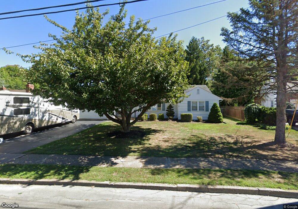
80 Cranbrook Rd Trenton, NJ 08690
Estimated Value: $457,498 - $501,000
--
Bed
--
Bath
1,548
Sq Ft
$315/Sq Ft
Est. Value
About This Home
This home is located at 80 Cranbrook Rd, Trenton, NJ 08690 and is currently estimated at $486,875, approximately $314 per square foot. 80 Cranbrook Rd is a home located in Mercer County with nearby schools including Morgan Elementary School, Emily C. Reynolds Middle School, and Steinert - Hamilton High East.
Ownership History
Date
Name
Owned For
Owner Type
Purchase Details
Closed on
Feb 26, 2014
Sold by
Glenn Heather J and Swedo Heather J
Bought by
Swedo Michael W
Current Estimated Value
Purchase Details
Closed on
May 26, 1999
Sold by
Emc Mtg Corp
Bought by
Swedo Michael
Home Financials for this Owner
Home Financials are based on the most recent Mortgage that was taken out on this home.
Original Mortgage
$100,000
Interest Rate
6.85%
Mortgage Type
Purchase Money Mortgage
Create a Home Valuation Report for This Property
The Home Valuation Report is an in-depth analysis detailing your home's value as well as a comparison with similar homes in the area
Home Values in the Area
Average Home Value in this Area
Purchase History
| Date | Buyer | Sale Price | Title Company |
|---|---|---|---|
| Swedo Michael W | $25,000 | None Available | |
| Swedo Michael | $160,000 | -- |
Source: Public Records
Mortgage History
| Date | Status | Borrower | Loan Amount |
|---|---|---|---|
| Previous Owner | Swedo Michael | $100,000 |
Source: Public Records
Tax History Compared to Growth
Tax History
| Year | Tax Paid | Tax Assessment Tax Assessment Total Assessment is a certain percentage of the fair market value that is determined by local assessors to be the total taxable value of land and additions on the property. | Land | Improvement |
|---|---|---|---|---|
| 2025 | $10,047 | $285,100 | $96,000 | $189,100 |
| 2024 | $9,417 | $285,100 | $96,000 | $189,100 |
| 2023 | $9,417 | $285,100 | $96,000 | $189,100 |
| 2022 | $9,269 | $285,100 | $96,000 | $189,100 |
| 2021 | $9,759 | $285,100 | $96,000 | $189,100 |
| 2020 | $8,733 | $285,100 | $96,000 | $189,100 |
| 2019 | $8,539 | $285,100 | $96,000 | $189,100 |
| 2018 | $8,490 | $285,100 | $96,000 | $189,100 |
| 2017 | $8,274 | $285,100 | $96,000 | $189,100 |
| 2016 | $7,709 | $285,100 | $96,000 | $189,100 |
| 2015 | $8,003 | $174,400 | $60,800 | $113,600 |
| 2014 | $7,867 | $174,400 | $60,800 | $113,600 |
Source: Public Records
Map
Nearby Homes
- 245 Paxson Ave
- 3 Sedgwick Rd
- 704 Daniels Ave
- 11 Jericho Dr
- 13 Blairmore Dr
- 26 Coral Dr
- 44 Livingston Dr
- 13 Sayen Dr
- 47 Wesleyan Dr
- 474 Paxson Ave
- 7 Hartman Dr
- 583 Edinburg Rd Unit MER
- 330 Mcadoo Ave
- 108 Maple Shade Ave
- 397 Edinburg Rd Unit MER
- 5 Delotto Dr
- 135 Herbert Ave
- 7 Pinehurst Ct
- 7 Saranac Rd
- 10 Whitman Rd
- 82 Cranbrook Rd
- 78 Cranbrook Rd
- 351 Paxson Ave
- 84 Cranbrook Rd
- 363 Paxson Ave
- 339 Paxson Ave
- 76 Cranbrook Rd
- 375 Paxson Ave
- 331 Paxson Ave
- 77 Cranbrook Rd
- 321 Paxson Ave
- 5 Florister Dr
- 83 Cranbrook Rd
- 74 Cranbrook Rd
- 1 Cranbrook Rd
- 5 Brampton Way
- 73 Cranbrook Rd
- 301 Paxson Ave
- 7 Florister Dr
- 5 Cranbrook Rd