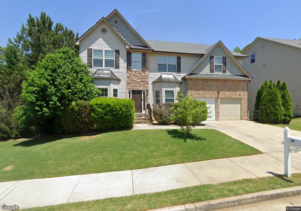
80 Crepe Myrtle Way Dallas, GA 30132
Cedarcrest NeighborhoodEstimated Value: $443,000 - $494,084
4
Beds
4
Baths
3,264
Sq Ft
$140/Sq Ft
Est. Value
About This Home
This home is located at 80 Crepe Myrtle Way, Dallas, GA 30132 and is currently estimated at $457,271, approximately $140 per square foot. 80 Crepe Myrtle Way is a home located in Paulding County with nearby schools including W.C. Abney Elementary School, Lena Mae Moses Middle School, and North Paulding High School.
Ownership History
Date
Name
Owned For
Owner Type
Purchase Details
Closed on
Mar 11, 2022
Sold by
Opendoor Property Trust I Llc
Bought by
Vm Pronto Llc
Current Estimated Value
Purchase Details
Closed on
Jan 26, 2022
Sold by
3225 Grp Llc
Bought by
Opendoor Property Trust I
Purchase Details
Closed on
May 19, 2009
Sold by
Rdc Builders Inc
Bought by
Aurand Matthew and Aurand Anne
Home Financials for this Owner
Home Financials are based on the most recent Mortgage that was taken out on this home.
Original Mortgage
$186,558
Interest Rate
4.81%
Mortgage Type
FHA
Create a Home Valuation Report for This Property
The Home Valuation Report is an in-depth analysis detailing your home's value as well as a comparison with similar homes in the area
Home Values in the Area
Average Home Value in this Area
Purchase History
| Date | Buyer | Sale Price | Title Company |
|---|---|---|---|
| Vm Pronto Llc | $269,500 | -- | |
| Opendoor Property Trust I | $226,700 | -- | |
| Aurand Matthew | $190,000 | -- |
Source: Public Records
Mortgage History
| Date | Status | Borrower | Loan Amount |
|---|---|---|---|
| Previous Owner | Aurand Matthew | $186,558 |
Source: Public Records
Tax History Compared to Growth
Tax History
| Year | Tax Paid | Tax Assessment Tax Assessment Total Assessment is a certain percentage of the fair market value that is determined by local assessors to be the total taxable value of land and additions on the property. | Land | Improvement |
|---|---|---|---|---|
| 2024 | $4,242 | $170,532 | $12,000 | $158,532 |
| 2023 | $3,971 | $152,316 | $12,000 | $140,316 |
| 2022 | $4,441 | $149,516 | $12,000 | $137,516 |
| 2021 | $3,285 | $110,608 | $12,000 | $98,608 |
| 2020 | $3,160 | $106,396 | $12,000 | $94,396 |
| 2019 | $2,930 | $97,264 | $12,000 | $85,264 |
| 2018 | $2,796 | $92,796 | $12,000 | $80,796 |
| 2017 | $2,298 | $75,228 | $12,000 | $63,228 |
| 2016 | $2,505 | $82,832 | $12,000 | $70,832 |
| 2015 | $2,444 | $79,412 | $12,000 | $67,412 |
| 2014 | $2,073 | $65,684 | $12,000 | $53,684 |
| 2013 | -- | $47,520 | $12,000 | $35,520 |
Source: Public Records
Map
Nearby Homes
- 140 Crepe Myrtle Way
- 35 Indigo Ct
- 280 Brookview Dr
- 78 Oakleigh Ln
- 467 Oliver Dr
- 388 Thompson Ridge Ln
- 385 Thompson Ridge Ln
- 384 Thompson Ridge Ln
- 115 Randy Way
- 101 Randy Way
- 290 Thompson Ridge Ln
- 275 Thompson Ridge Ln
- 263 Thompson Ridge Ln
- 366 Charles Ridge Unit 53
- 247 Thompson Ridge Ln
- 66 Freestone Ln
- 230 Thompson Ridge Ln
- 160 Northridge Dr
- 0 Dallas Acworth Hwy Unit 10624105
- 0 Dallas Acworth Hwy Unit 7665160
- 96 Crepe Myrtle Way Unit 163
- 96 Crepe Myrtle Way
- 64 Crepe Myrtle Way
- 64 Crepe Myrtle Way Unit 165
- 83 Crepe Myrtle Way
- 69 Crepe Myrtle Way
- 110 Crepe Myrtle Way Unit 162
- 110 Crepe Myrtle Way
- 51 Violet Ct
- 14 Loblolly Ln
- 48 Crepe Myrtle Way
- 51 Crepe Myrtle Way
- 44 Violet Ct
- 145 Loblolly Ln
- 145 Loblolly Ln
- 126 Loblolly Ln
- 28 Crepe Myrtle Way Unit 167
- 28 Crepe Myrtle Way
- 90 Loblolly Ln
- 47 Violet Ct