80 Debbie Ln Batesville, AR 72501
Estimated Value: $85,935 - $337,000
--
Bed
1
Bath
1,472
Sq Ft
$143/Sq Ft
Est. Value
About This Home
This home is located at 80 Debbie Ln, Batesville, AR 72501 and is currently estimated at $210,978, approximately $143 per square foot. 80 Debbie Ln is a home located in Independence County with nearby schools including Batesville Junior High School.
Ownership History
Date
Name
Owned For
Owner Type
Purchase Details
Closed on
Nov 3, 2008
Bought by
Huff John A and Huff Jeannie M
Current Estimated Value
Purchase Details
Closed on
Jun 12, 2006
Bought by
Huff John A and Huff Jeannie M
Purchase Details
Closed on
May 30, 2003
Bought by
Holcomb Eric L and Holcomb Mindy R
Purchase Details
Closed on
Feb 15, 1992
Bought by
O'Neal Floyd
Purchase Details
Closed on
Feb 10, 1988
Bought by
Marshell Brady and Floyd O'Neal %
Purchase Details
Closed on
Oct 22, 1986
Bought by
Marshell Brady
Purchase Details
Closed on
Sep 13, 1979
Bought by
Marshell Brady and Marshell Gary
Create a Home Valuation Report for This Property
The Home Valuation Report is an in-depth analysis detailing your home's value as well as a comparison with similar homes in the area
Home Values in the Area
Average Home Value in this Area
Purchase History
| Date | Buyer | Sale Price | Title Company |
|---|---|---|---|
| Huff John A | -- | -- | |
| Huff John A | $90,000 | -- | |
| Holcomb Eric L | $85,000 | -- | |
| O'Neal Floyd | $13,000 | -- | |
| Marshell Brady | -- | -- | |
| Marshell Brady | -- | -- | |
| Marshell Brady | -- | -- |
Source: Public Records
Tax History Compared to Growth
Tax History
| Year | Tax Paid | Tax Assessment Tax Assessment Total Assessment is a certain percentage of the fair market value that is determined by local assessors to be the total taxable value of land and additions on the property. | Land | Improvement |
|---|---|---|---|---|
| 2024 | $522 | $11,010 | $1,030 | $9,980 |
| 2023 | $522 | $11,010 | $1,030 | $9,980 |
| 2022 | $522 | $11,010 | $1,030 | $9,980 |
| 2021 | $522 | $11,010 | $1,030 | $9,980 |
| 2020 | $522 | $11,010 | $1,030 | $9,980 |
| 2019 | $530 | $11,170 | $1,000 | $10,170 |
| 2018 | $530 | $11,170 | $1,000 | $10,170 |
| 2017 | $529 | $11,170 | $1,000 | $10,170 |
| 2016 | $530 | $11,170 | $1,000 | $10,170 |
| 2015 | $529 | $11,170 | $1,000 | $10,170 |
| 2014 | $550 | $11,610 | $800 | $10,810 |
Source: Public Records
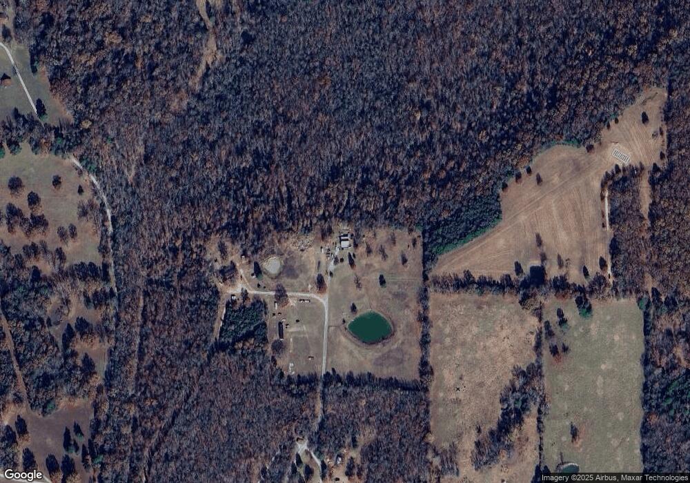
Map
Nearby Homes
- 3460 Bethesda Rd
- 0 Yorktown Unit 24-235
- 120 Upper Yorktown Rd
- Lots 27 & 28 Lower Yorktown Dr
- Lots 27/28 Lower Yorktown Dr
- 0 Wyatt Dr Unit 24035084
- 155 Lower Yorktown Dr
- 155 Lower Yorktown Rd
- 55 Kelley Rd
- 000 NW Hwy 14 Bottom
- 195 Joe Baker Rd
- 220 Joe Baker Rd
- 0 Joe Baker Rd
- Lot 33 Joe Baker Rd
- 000 Mountain View Rd
- 130 Joe Baker Rd
- 199 Finney Rd
- 378 Cemetery Rd
- 4823 Bob Davis Rd
- 944 Church Rd