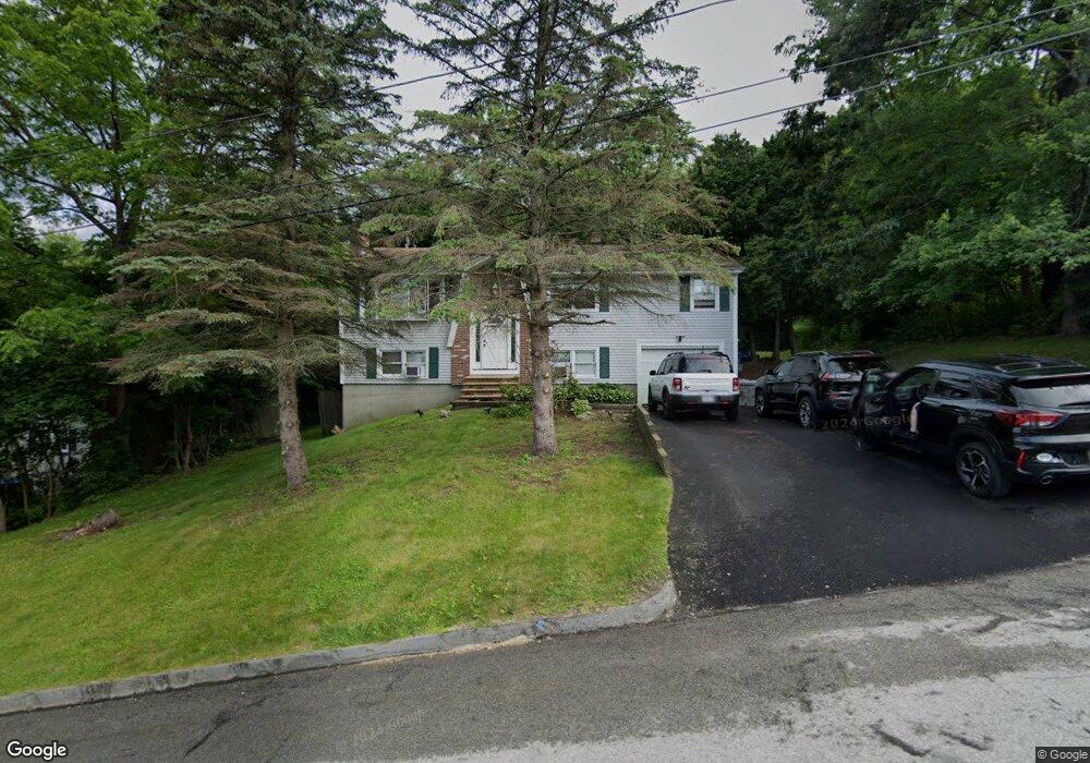
80 Derby St Worcester, MA 01604
Broadmeadow Brook NeighborhoodEstimated Value: $464,000 - $508,000
3
Beds
3
Baths
1,196
Sq Ft
$398/Sq Ft
Est. Value
About This Home
This home is located at 80 Derby St, Worcester, MA 01604 and is currently estimated at $475,543, approximately $397 per square foot. 80 Derby St is a home located in Worcester County with nearby schools including Jacob Hiatt Magnet School, Chandler Magnet, and Rice Square Elementary School.
Ownership History
Date
Name
Owned For
Owner Type
Purchase Details
Closed on
Jun 23, 1994
Sold by
Rex Thomas C and Rex Jonatha
Bought by
Warner Dana N and Burgess Cathleen
Current Estimated Value
Create a Home Valuation Report for This Property
The Home Valuation Report is an in-depth analysis detailing your home's value as well as a comparison with similar homes in the area
Home Values in the Area
Average Home Value in this Area
Purchase History
| Date | Buyer | Sale Price | Title Company |
|---|---|---|---|
| Warner Dana N | $108,000 | -- |
Source: Public Records
Mortgage History
| Date | Status | Borrower | Loan Amount |
|---|---|---|---|
| Open | Warner Dana N | $152,000 | |
| Closed | Warner Dana N | $94,000 | |
| Closed | Warner Dana N | $10,000 | |
| Closed | Warner Dana N | $97,000 |
Source: Public Records
Tax History
| Year | Tax Paid | Tax Assessment Tax Assessment Total Assessment is a certain percentage of the fair market value that is determined by local assessors to be the total taxable value of land and additions on the property. | Land | Improvement |
|---|---|---|---|---|
| 2025 | $5,951 | $451,200 | $118,700 | $332,500 |
| 2024 | $5,892 | $428,500 | $118,700 | $309,800 |
| 2023 | $5,759 | $401,600 | $103,200 | $298,400 |
| 2022 | $5,006 | $329,100 | $82,600 | $246,500 |
| 2021 | $4,993 | $306,700 | $66,100 | $240,600 |
| 2020 | $4,765 | $280,300 | $66,100 | $214,200 |
| 2019 | $4,655 | $258,600 | $59,500 | $199,100 |
| 2018 | $4,686 | $247,800 | $59,500 | $188,300 |
| 2017 | $4,488 | $233,500 | $59,500 | $174,000 |
| 2016 | $4,458 | $216,300 | $43,700 | $172,600 |
| 2015 | $4,341 | $216,300 | $43,700 | $172,600 |
| 2014 | $4,227 | $216,300 | $43,700 | $172,600 |
Source: Public Records
Map
Nearby Homes
Your Personal Tour Guide
Ask me questions while you tour the home.