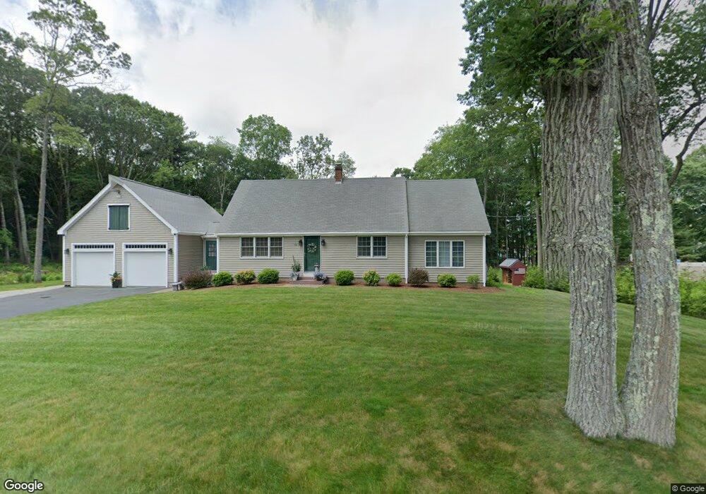
80 Dodge Hill Rd Sutton, MA 01590
Estimated Value: $580,106 - $695,000
4
Beds
3
Baths
2,163
Sq Ft
$292/Sq Ft
Est. Value
About This Home
This home is located at 80 Dodge Hill Rd, Sutton, MA 01590 and is currently estimated at $632,527, approximately $292 per square foot. 80 Dodge Hill Rd is a home located in Worcester County with nearby schools including Sutton Elementary School, Sutton Middle School, and Sutton High School.
Ownership History
Date
Name
Owned For
Owner Type
Purchase Details
Closed on
Sep 20, 1993
Sold by
Chase Elizabeth and Anderson Carolyn C
Bought by
Chase Daniel C and Chase Renee D
Current Estimated Value
Purchase Details
Closed on
May 5, 1992
Sold by
Chase Robert F and Chase Elizabeth
Bought by
Chase Elizabeth J and Anderson Kenneth
Create a Home Valuation Report for This Property
The Home Valuation Report is an in-depth analysis detailing your home's value as well as a comparison with similar homes in the area
Home Values in the Area
Average Home Value in this Area
Purchase History
| Date | Buyer | Sale Price | Title Company |
|---|---|---|---|
| Chase Daniel C | $80,000 | -- | |
| Chase Elizabeth J | $50,000 | -- |
Source: Public Records
Mortgage History
| Date | Status | Borrower | Loan Amount |
|---|---|---|---|
| Open | Chase Elizabeth J | $175,400 | |
| Closed | Chase Elizabeth J | $100,000 | |
| Closed | Chase Elizabeth J | $10,000 |
Source: Public Records
Tax History
| Year | Tax Paid | Tax Assessment Tax Assessment Total Assessment is a certain percentage of the fair market value that is determined by local assessors to be the total taxable value of land and additions on the property. | Land | Improvement |
|---|---|---|---|---|
| 2025 | $6,092 | $488,900 | $155,800 | $333,100 |
| 2024 | $6,022 | $467,200 | $134,200 | $333,000 |
| 2023 | $5,840 | $414,800 | $117,300 | $297,500 |
| 2022 | $5,794 | $367,000 | $118,800 | $248,200 |
| 2021 | $5,794 | $354,800 | $118,800 | $236,000 |
| 2020 | $5,639 | $344,900 | $118,800 | $226,100 |
| 2019 | $5,422 | $319,700 | $114,500 | $205,200 |
| 2018 | $5,229 | $307,400 | $114,500 | $192,900 |
| 2017 | $5,061 | $298,400 | $100,600 | $197,800 |
| 2016 | $4,991 | $291,000 | $100,600 | $190,400 |
| 2015 | $4,809 | $281,200 | $100,600 | $180,600 |
| 2014 | $4,946 | $283,600 | $103,800 | $179,800 |
Source: Public Records
Map
Nearby Homes
- 82 Dodge Hill Rd
- 175 Armsby Rd
- 229 Worcester-Providence Turnpike
- 4 Hillside Dr
- 82 Central Turnpike
- 66 Buttonwood Ave
- 32 Sibley Rd
- 191 Hartness Rd
- 183 Pleasant St Unit 2
- 7 Central Turnpike
- 51 Lincoln Rd
- 79 Fisherville Terrace
- 53 Fisherville Terrace
- 66 Ferry St
- 64 Fisherville Terrace
- 62 Fisherville Terrace
- 58 Fisherville Terrace
- 109 Main St
- 268 Pollard Rd
- 22 Elmwood St
Your Personal Tour Guide
Ask me questions while you tour the home.