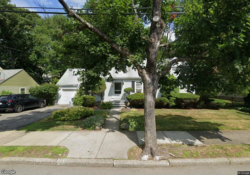
80 Elinor Rd Newton Highlands, MA 02461
Newton Highlands NeighborhoodEstimated Value: $1,253,000 - $1,522,753
4
Beds
3
Baths
2,054
Sq Ft
$664/Sq Ft
Est. Value
About This Home
This home is located at 80 Elinor Rd, Newton Highlands, MA 02461 and is currently estimated at $1,363,938, approximately $664 per square foot. 80 Elinor Rd is a home located in Middlesex County with nearby schools including Countryside Elementary School, Charles E Brown Middle School, and Newton South High School.
Ownership History
Date
Name
Owned For
Owner Type
Purchase Details
Closed on
Oct 1, 1998
Sold by
Ruben Morris P and Ruben Eleanor L
Bought by
Levine Martin E and Levine Elissa B
Current Estimated Value
Home Financials for this Owner
Home Financials are based on the most recent Mortgage that was taken out on this home.
Original Mortgage
$240,000
Outstanding Balance
$52,500
Interest Rate
6.89%
Mortgage Type
Purchase Money Mortgage
Estimated Equity
$1,311,438
Create a Home Valuation Report for This Property
The Home Valuation Report is an in-depth analysis detailing your home's value as well as a comparison with similar homes in the area
Home Values in the Area
Average Home Value in this Area
Purchase History
| Date | Buyer | Sale Price | Title Company |
|---|---|---|---|
| Levine Martin E | $300,000 | -- |
Source: Public Records
Mortgage History
| Date | Status | Borrower | Loan Amount |
|---|---|---|---|
| Open | Levine Martin E | $20,000 | |
| Open | Levine Martin E | $240,000 |
Source: Public Records
Tax History Compared to Growth
Tax History
| Year | Tax Paid | Tax Assessment Tax Assessment Total Assessment is a certain percentage of the fair market value that is determined by local assessors to be the total taxable value of land and additions on the property. | Land | Improvement |
|---|---|---|---|---|
| 2025 | $9,799 | $999,900 | $916,600 | $83,300 |
| 2024 | $9,475 | $970,800 | $889,900 | $80,900 |
| 2023 | $8,959 | $880,100 | $680,000 | $200,100 |
| 2022 | $8,573 | $814,900 | $629,600 | $185,300 |
| 2021 | $8,272 | $768,800 | $594,000 | $174,800 |
| 2020 | $8,026 | $768,800 | $594,000 | $174,800 |
| 2019 | $7,800 | $746,400 | $576,700 | $169,700 |
| 2018 | $7,453 | $688,800 | $523,300 | $165,500 |
| 2017 | $7,226 | $649,800 | $493,700 | $156,100 |
| 2016 | $6,911 | $607,300 | $461,400 | $145,900 |
| 2015 | $6,590 | $567,600 | $431,200 | $136,400 |
Source: Public Records
Map
Nearby Homes
- 19 Selwyn Rd
- 250 Woodcliff Rd
- 125 Oakdale Rd
- 1308 Walnut St
- 1292 Walnut St
- 671 Boylston St
- 628 Boylston St
- 36 Cannon St
- 625 Boylston St
- 21 Philbrick Rd
- 42 Sunhill Ln
- 35 Haynes Rd
- 45 Brandeis Rd
- 1623-1625 Centre St
- 1629 Centre St
- 1597 Centre St Unit 1597
- 1597 Centre St
- 116 Upland Ave
- 5 Halcyon Rd
- 15 Buff Cir