80 Forrest Place Unit 80 Atlanta, GA 30328
Estimated Value: $412,000 - $460,000
3
Beds
3
Baths
2,113
Sq Ft
$205/Sq Ft
Est. Value
About This Home
This home is located at 80 Forrest Place Unit 80, Atlanta, GA 30328 and is currently estimated at $433,892, approximately $205 per square foot. 80 Forrest Place Unit 80 is a home located in Fulton County with nearby schools including Lake Forest Elementary School, Ridgeview Charter School, and Riverwood International Charter School.
Ownership History
Date
Name
Owned For
Owner Type
Purchase Details
Closed on
May 17, 2002
Sold by
Coleman Margaret G and Coleman Rhea S
Bought by
Sharker Debra P
Current Estimated Value
Home Financials for this Owner
Home Financials are based on the most recent Mortgage that was taken out on this home.
Original Mortgage
$201,400
Outstanding Balance
$65,930
Interest Rate
3.75%
Mortgage Type
New Conventional
Estimated Equity
$367,962
Purchase Details
Closed on
Sep 21, 2001
Sold by
Thomson Emma H
Bought by
Coleman Margaret G and Coleman Rhea S
Create a Home Valuation Report for This Property
The Home Valuation Report is an in-depth analysis detailing your home's value as well as a comparison with similar homes in the area
Home Values in the Area
Average Home Value in this Area
Purchase History
| Date | Buyer | Sale Price | Title Company |
|---|---|---|---|
| Sharker Debra P | $212,000 | -- | |
| Coleman Margaret G | $193,000 | -- |
Source: Public Records
Mortgage History
| Date | Status | Borrower | Loan Amount |
|---|---|---|---|
| Open | Sharker Debra P | $201,400 |
Source: Public Records
Tax History Compared to Growth
Tax History
| Year | Tax Paid | Tax Assessment Tax Assessment Total Assessment is a certain percentage of the fair market value that is determined by local assessors to be the total taxable value of land and additions on the property. | Land | Improvement |
|---|---|---|---|---|
| 2025 | $2,115 | $138,040 | $23,400 | $114,640 |
| 2023 | $4,352 | $154,200 | $25,320 | $128,880 |
| 2022 | $2,312 | $128,840 | $17,920 | $110,920 |
| 2021 | $2,291 | $117,560 | $18,600 | $98,960 |
| 2020 | $2,308 | $116,160 | $18,400 | $97,760 |
| 2019 | $2,269 | $114,120 | $18,080 | $96,040 |
| 2018 | $2,356 | $84,000 | $14,200 | $69,800 |
| 2017 | $1,603 | $59,640 | $9,360 | $50,280 |
| 2016 | $1,601 | $59,640 | $9,360 | $50,280 |
| 2015 | $1,607 | $59,640 | $9,360 | $50,280 |
| 2014 | $1,435 | $77,280 | $23,720 | $53,560 |
Source: Public Records
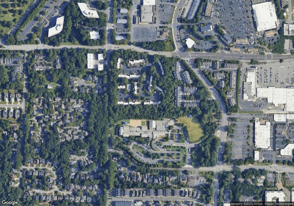
Map
Nearby Homes
- 45 Forrest Place
- 500 Cameron Manor Way NW
- 580 Cliftwood Ct NE
- 5720 Cameron Hall Place NW
- 140 Grosvenor Place
- 193 Le Gran Ct NE
- 214 Le Gran Cove NE
- 905 Lancaster Way NW
- 4011 Eamont Ln
- 5836 Sandy Springs Cir NE
- 6087 City Walk Ln
- 5726 Taylor Way
- 6105 Blue Stone Rd NE Unit 209
- 5950 Long Island Dr NW
- 5757 Long Island Dr NW
- 5667 Kingsport Dr
- 5678 Kingsport Dr
- 130 Bonnie Ln NE
- 81 Forrest Place Unit 81
- 82 Forrest Place
- 83 Forrest Place
- 70 Forrest Place Unit 70
- 84 Forrest Place
- 71 Forrest Place
- 71 Forrest Place Unit 71
- 63 Forrest Place NE
- 55 Forrest Place NE
- 85 Forrest Place
- 54 Forrest Place NE Unit 54
- 73 Forrest Place
- 73 Forrest Place Unit 73
- 74 Forrest Place NE
- 74 Forrest Place NE Unit 74
- 74 Forrest Place
- 90 Forrest Place
- 91 Forrest Place Unit 91
- 92 Forrest Place Unit 92
- 92 Forrest Place