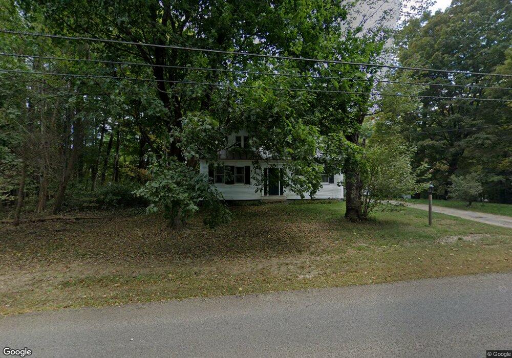
80 Gloucester Hill Rd New Gloucester, ME 04260
Estimated Value: $467,454 - $614,000
4
Beds
2
Baths
1,722
Sq Ft
$314/Sq Ft
Est. Value
About This Home
This home is located at 80 Gloucester Hill Rd, New Gloucester, ME 04260 and is currently estimated at $540,727, approximately $314 per square foot. 80 Gloucester Hill Rd is a home located in Cumberland County with nearby schools including Gray-New Gloucester High School.
Ownership History
Date
Name
Owned For
Owner Type
Purchase Details
Closed on
Sep 13, 2018
Sold by
Rider Susan P and Rider Field-Rider R
Bought by
Susan Enders Percy Lt
Current Estimated Value
Purchase Details
Closed on
Jul 3, 2018
Sold by
Rider Field and Percy Susan E
Bought by
Meeting 1839 Intervale
Create a Home Valuation Report for This Property
The Home Valuation Report is an in-depth analysis detailing your home's value as well as a comparison with similar homes in the area
Home Values in the Area
Average Home Value in this Area
Purchase History
| Date | Buyer | Sale Price | Title Company |
|---|---|---|---|
| Susan Enders Percy Lt | -- | -- | |
| Meeting 1839 Intervale | -- | -- |
Source: Public Records
Tax History
| Year | Tax Paid | Tax Assessment Tax Assessment Total Assessment is a certain percentage of the fair market value that is determined by local assessors to be the total taxable value of land and additions on the property. | Land | Improvement |
|---|---|---|---|---|
| 2025 | $4,254 | $274,961 | $127,568 | $147,393 |
| 2024 | $4,106 | $275,761 | $128,368 | $147,393 |
| 2023 | $3,968 | $277,653 | $130,260 | $147,393 |
| 2022 | $3,869 | $280,391 | $132,998 | $147,393 |
| 2021 | $3,873 | $280,658 | $133,265 | $147,393 |
| 2020 | $3,831 | $280,630 | $133,237 | $147,393 |
| 2019 | $3,552 | $210,200 | $90,800 | $119,400 |
| 2018 | $3,040 | $212,400 | $93,000 | $119,400 |
| 2017 | $3,301 | $211,600 | $92,200 | $119,400 |
| 2016 | $3,099 | $210,800 | $91,400 | $119,400 |
| 2015 | $3,025 | $206,500 | $87,100 | $119,400 |
| 2014 | $2,999 | $206,800 | $87,400 | $119,400 |
| 2013 | $2,781 | $206,800 | $87,400 | $119,400 |
Source: Public Records
Map
Nearby Homes
- 155 & 151 Gloucester Hill Rd
- 110 Bennett Rd
- 26 Hemlock Ln
- TBD Targett Rd
- 86 Skips Way
- 12 Country Charm Ln
- 65 Blueberry Ln
- Bowdoin Way
- TBD Emmaus Rd
- 10-56 C&E Bowdoin Way
- 14 Golden Way
- 270 Mayall Rd
- Lot 21-29 Weymouth Rd
- 3 First Mill Dr
- 0 Mayall
- 27 Bull Run
- 2 Ethan Way
- 244 Allen Rd
- 224 Shaker Rd
- 026-01 Dow Ln
- 85 Gloucester Hill Rd
- 61 Gloucester Hill Rd
- 20 Gloucester Hill Rd
- 50 Gloucester Hill Rd
- 47 Gloucester Hill Rd
- 124 Gloucester Hill Rd
- 34 Gloucester Hill Rd
- 77 Gloucester Hill Rd
- 30 Gloucester Hill Rd
- 29 Gloucester Hill Rd
- 131 Gloucester Hill Rd
- 18 Majestic Way
- 185 Church Rd
- 142 Gloucester Hill Rd
- 81 Gloucester Hill Rd
- 4 Majestic Way
- 15 Majestic Way
- 182 Church Rd
- 12 Gloucester Hill Rd
- 132 Gloucester Hill Rd
Your Personal Tour Guide
Ask me questions while you tour the home.