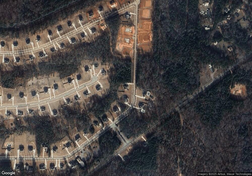
80 Homestead Cir Unit 23 Forsyth, GA 31029
Estimated Value: $489,865 - $541,000
5
Beds
4
Baths
3,044
Sq Ft
$168/Sq Ft
Est. Value
About This Home
This home is located at 80 Homestead Cir Unit 23, Forsyth, GA 31029 and is currently estimated at $511,216, approximately $167 per square foot. 80 Homestead Cir Unit 23 is a home located in Monroe County with nearby schools including Katherine B. Sutton Elementary School and Mary Persons High School.
Ownership History
Date
Name
Owned For
Owner Type
Purchase Details
Closed on
Mar 5, 2021
Sold by
Capshaw Development Co Llc
Bought by
Andrews Gregory and Andrews Patricia A
Current Estimated Value
Home Financials for this Owner
Home Financials are based on the most recent Mortgage that was taken out on this home.
Original Mortgage
$337,565
Outstanding Balance
$301,915
Interest Rate
2.7%
Mortgage Type
FHA
Estimated Equity
$209,301
Purchase Details
Closed on
Sep 4, 2019
Sold by
Greystone Investment Holdings Llc
Bought by
Capshaw Development Company Llc
Purchase Details
Closed on
Aug 9, 2019
Sold by
Dw Monroe Llc
Bought by
Greystone Investment Holdings Llc
Purchase Details
Closed on
May 6, 2008
Sold by
Not Provided
Bought by
D W Monroe Llc
Purchase Details
Closed on
Sep 17, 2004
Bought by
Henco Development Co Llc
Create a Home Valuation Report for This Property
The Home Valuation Report is an in-depth analysis detailing your home's value as well as a comparison with similar homes in the area
Home Values in the Area
Average Home Value in this Area
Purchase History
| Date | Buyer | Sale Price | Title Company |
|---|---|---|---|
| Andrews Gregory | $358,990 | -- | |
| Capshaw Development Company Llc | $200,000 | -- | |
| Greystone Investment Holdings Llc | $1,142,400 | -- | |
| D W Monroe Llc | $1,600,000 | -- | |
| Henco Development Co Llc | -- | -- |
Source: Public Records
Mortgage History
| Date | Status | Borrower | Loan Amount |
|---|---|---|---|
| Open | Andrews Gregory | $337,565 |
Source: Public Records
Tax History Compared to Growth
Tax History
| Year | Tax Paid | Tax Assessment Tax Assessment Total Assessment is a certain percentage of the fair market value that is determined by local assessors to be the total taxable value of land and additions on the property. | Land | Improvement |
|---|---|---|---|---|
| 2024 | $4,250 | $169,320 | $14,000 | $155,320 |
| 2023 | $4,250 | $143,440 | $14,000 | $129,440 |
| 2022 | $3,450 | $139,440 | $10,000 | $129,440 |
| 2021 | $3,908 | $139,440 | $10,000 | $129,440 |
| 2020 | $287 | $10,000 | $10,000 | $0 |
| 2019 | $209 | $7,200 | $7,200 | $0 |
| 2018 | $209 | $7,200 | $7,200 | $0 |
| 2017 | $209 | $7,200 | $7,200 | $0 |
| 2016 | $199 | $7,200 | $7,200 | $0 |
| 2015 | $189 | $7,200 | $7,200 | $0 |
| 2014 | $182 | $7,200 | $7,200 | $0 |
Source: Public Records
Map
Nearby Homes
- 49 Homestead Cir Unit LOT 49A
- 120 Homestead Cir
- 6418 Georgia 42
- 40 Timber Dr
- 381 Homestead Cir
- 160 Aaron Ct
- 788 Teagle Rd
- 1538 Freeman Rd
- 3528 Highway 42 S
- 0 Garr Rd Unit 10439858
- 120 Torbet Rd
- 0 Duncan Cir Unit 24915548
- 739 Westbrooks Rd
- 674 Stokes Store Rd
- 353 Weldon Rd
- 837 Weldon Rd
- 1649 Stokes Store Rd
- 1649 Stokes Store Rd Unit 52
- 1659 Stokes Store Rd
- 122 Towaliga Rd S
- 12 Homestead Cir
- 56 Homestead Cir Unit LOT 2B
- 12 Homestead Cir Unit Lot 12
- 34 Homestead Cir
- 22 Homestead Cir Unit LOT 22A
- 22 Homestead Cir
- 301 Homestead Cir Lot# 18 Cir Unit LOT 18
- 90 Homestead Cir
- 0 Homestead Cir Unit 8328209
- 23 Homestead Cir Unit LOT 23A
- 45 Homestead Cir Unit LOT 47
- 37 Homestead Cir Unit LOT 46
- 33 Homestead Cir
- 15 Homestead Cir
- 11 Homestead Cir
- 0 Homestead Cir Unit 8703211
- 0 Homestead Cir Unit 9013711
- 0 Homestead Cir Unit 8328194
- 0 Homestead Cir Unit 8328187
- 0 Homestead Cir Unit 8328185
