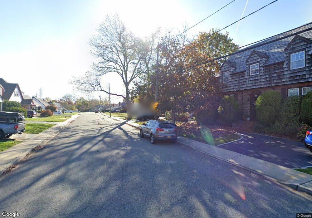
80 Horton Rd Valley Stream, NY 11581
Estimated Value: $713,000 - $735,293
3
Beds
2
Baths
1,323
Sq Ft
$547/Sq Ft
Est. Value
About This Home
This home is located at 80 Horton Rd, Valley Stream, NY 11581 and is currently estimated at $724,147, approximately $547 per square foot. 80 Horton Rd is a home located in Nassau County with nearby schools including George W Hewlett High School, Holy Name of Mary School, and Our Lady Of Peace School.
Ownership History
Date
Name
Owned For
Owner Type
Purchase Details
Closed on
Jul 3, 2019
Sold by
Baez Yocanda
Bought by
Baez Yocanda and Baez Marianela
Current Estimated Value
Purchase Details
Closed on
Mar 22, 2018
Sold by
Milano Linda
Bought by
Baez Yocanda
Home Financials for this Owner
Home Financials are based on the most recent Mortgage that was taken out on this home.
Original Mortgage
$451,050
Interest Rate
4.5%
Mortgage Type
New Conventional
Purchase Details
Closed on
Oct 31, 2001
Create a Home Valuation Report for This Property
The Home Valuation Report is an in-depth analysis detailing your home's value as well as a comparison with similar homes in the area
Home Values in the Area
Average Home Value in this Area
Purchase History
| Date | Buyer | Sale Price | Title Company |
|---|---|---|---|
| Baez Yocanda | -- | None Available | |
| Baez Yocanda | $465,000 | None Available | |
| -- | -- | -- |
Source: Public Records
Mortgage History
| Date | Status | Borrower | Loan Amount |
|---|---|---|---|
| Previous Owner | Baez Yocanda | $451,050 |
Source: Public Records
Tax History Compared to Growth
Tax History
| Year | Tax Paid | Tax Assessment Tax Assessment Total Assessment is a certain percentage of the fair market value that is determined by local assessors to be the total taxable value of land and additions on the property. | Land | Improvement |
|---|---|---|---|---|
| 2025 | $13,403 | $476 | $181 | $295 |
| 2024 | $1,800 | $459 | $175 | $284 |
| 2023 | $13,280 | $476 | $181 | $295 |
| 2022 | $13,280 | $476 | $181 | $295 |
| 2021 | $19,269 | $465 | $170 | $295 |
| 2020 | $14,028 | $670 | $365 | $305 |
| 2019 | $1,694 | $776 | $441 | $335 |
| 2018 | $10,170 | $776 | $0 | $0 |
| 2017 | $9,127 | $776 | $441 | $335 |
| 2016 | $10,672 | $776 | $441 | $335 |
| 2015 | $1,366 | $776 | $441 | $335 |
| 2014 | $1,366 | $776 | $441 | $335 |
| 2013 | $1,263 | $776 | $441 | $335 |
Source: Public Records
Map
Nearby Homes
- 127 Gordon Rd
- 165 Page Rd
- 29 Avon Rd
- 51 Stevenson Rd
- 1584 Kew Ave
- 11 Avon Rd
- 21 Fremont Rd
- 75 Peninsula Blvd
- 66 Kenmore Rd
- 1534 Broadway Unit 202
- 32 Harvard Ave
- 57 Munro Blvd
- 111 Oceanview Ave
- 90 Jackson Rd
- 1570 Stevenson Rd
- 66 Dubois Ave
- 1434 Noel Ave
- 80 Bismark Ave
- 16 Farnum St
- 596 Broadway Unit 16B