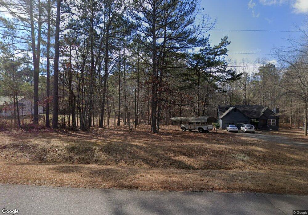
80 Hutcheson Rd Temple, GA 30179
Estimated Value: $404,500 - $554,000
3
Beds
2
Baths
1,888
Sq Ft
$246/Sq Ft
Est. Value
About This Home
This home is located at 80 Hutcheson Rd, Temple, GA 30179 and is currently estimated at $465,125, approximately $246 per square foot. 80 Hutcheson Rd is a home located in Haralson County with nearby schools including Haralson County High School.
Ownership History
Date
Name
Owned For
Owner Type
Purchase Details
Closed on
Apr 20, 2011
Sold by
Secretary Of Housing
Bought by
Kirby Michael T
Current Estimated Value
Home Financials for this Owner
Home Financials are based on the most recent Mortgage that was taken out on this home.
Original Mortgage
$140,844
Outstanding Balance
$97,487
Interest Rate
4.87%
Mortgage Type
FHA
Estimated Equity
$367,638
Purchase Details
Closed on
Feb 2, 2010
Sold by
Whorton Michael E and Whorton Brooke B
Bought by
Suntrust Mortgage
Purchase Details
Closed on
Aug 10, 2006
Sold by
Not Provided
Bought by
Kirby Michael T
Home Financials for this Owner
Home Financials are based on the most recent Mortgage that was taken out on this home.
Original Mortgage
$228,375
Interest Rate
6.67%
Mortgage Type
New Conventional
Create a Home Valuation Report for This Property
The Home Valuation Report is an in-depth analysis detailing your home's value as well as a comparison with similar homes in the area
Home Values in the Area
Average Home Value in this Area
Purchase History
| Date | Buyer | Sale Price | Title Company |
|---|---|---|---|
| Kirby Michael T | $136,000 | -- | |
| Kirby Michael T | $136,000 | -- | |
| Suntrust Mortgage | -- | -- | |
| Kirby Michael T | -- | -- | |
| Kirby Michael T | -- | -- | |
| Kirby Michael T | $232,000 | -- |
Source: Public Records
Mortgage History
| Date | Status | Borrower | Loan Amount |
|---|---|---|---|
| Open | Kirby Michael T | $140,844 | |
| Closed | Kirby Michael T | $140,844 | |
| Previous Owner | Kirby Michael T | $228,375 |
Source: Public Records
Tax History Compared to Growth
Tax History
| Year | Tax Paid | Tax Assessment Tax Assessment Total Assessment is a certain percentage of the fair market value that is determined by local assessors to be the total taxable value of land and additions on the property. | Land | Improvement |
|---|---|---|---|---|
| 2024 | $3,291 | $128,944 | $11,960 | $116,984 |
| 2023 | $3,377 | $127,936 | $11,006 | $116,930 |
| 2022 | $2,750 | $104,571 | $11,006 | $93,565 |
| 2021 | $2,706 | $98,867 | $10,006 | $88,861 |
| 2020 | $2,746 | $99,851 | $10,006 | $89,845 |
| 2019 | $2,545 | $89,363 | $10,006 | $79,357 |
| 2018 | $2,582 | $89,363 | $10,006 | $79,357 |
| 2017 | $2,471 | $78,001 | $10,006 | $67,995 |
| 2016 | $2,148 | $72,092 | $10,530 | $61,562 |
| 2015 | $2,136 | $71,660 | $10,530 | $61,130 |
| 2014 | $2,178 | $72,160 | $9,600 | $62,560 |
Source: Public Records
Map
Nearby Homes
- 0 Hutcheson Road Off
- 33 Tolbert Rd
- 3548 Coppermine Rd
- 0 Allgood Church Rd Unit 144628
- 340 Loftis Rd
- 134 Golden Rd
- 163 Golden Rd
- 295 Miller Path
- 1736 Pleasant Grove Rd
- 00 Coppermine Rd
- 53 Grove Ln
- 138 Pleasant Dr
- 1035 Golden Rd
- 3200 Rockmart Rd
- 3639 Holly Springs Rd
- 298 Randall Dr
- 174 Randall Dr
- 53 Adams Ln
- 1174 Proctor Rd
- 191 True Gospel Rd
- 90 Hutcheson Rd
- 120 Hutcheson Rd
- 86 Hutcheson Rd
- 204 Hutcheson Rd
- 150 Hutcheson Rd
- 107 Hutcheson Rd
- 205 Hutcheson Rd
- 255 Hutcheson Rd
- 74 Hutcheson Rd
- 279 Hutcheson Rd
- 85 Hutcheson Rd
- 186 Nichols Rd
- 81 Hutcheson Rd
- 278 Nichols Rd
- 258 Nichols Rd
- 0 Hutchenson Rd Unit 8368040
- 2806 Coppermine Rd
- 355 Nichols Rd
- 323 Nichols Rd
- 2818 Coppermine Rd