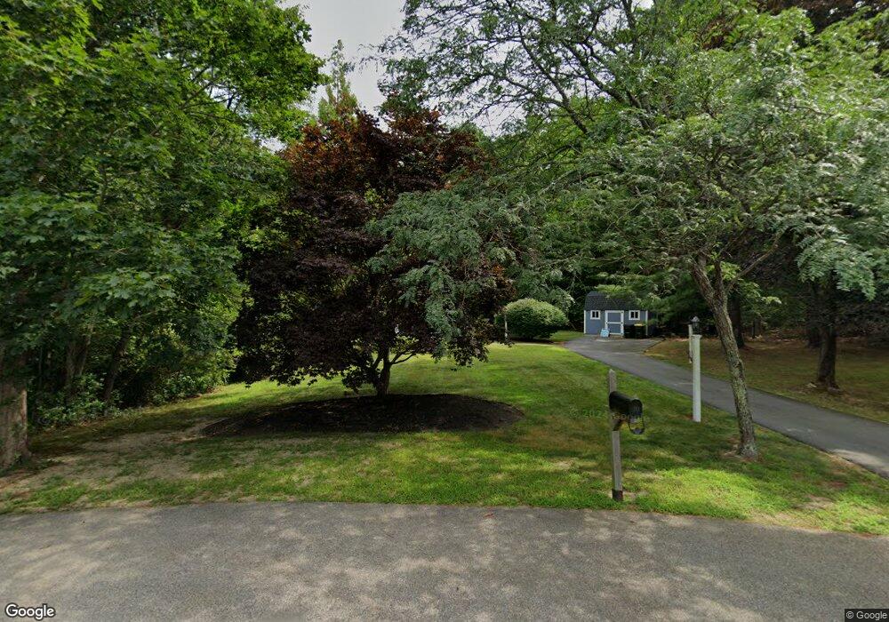
80 Katy Did Ln Hanson, MA 02341
Estimated Value: $620,000 - $727,000
4
Beds
2
Baths
2,044
Sq Ft
$322/Sq Ft
Est. Value
About This Home
This home is located at 80 Katy Did Ln, Hanson, MA 02341 and is currently estimated at $658,091, approximately $321 per square foot. 80 Katy Did Ln is a home located in Plymouth County.
Ownership History
Date
Name
Owned For
Owner Type
Purchase Details
Closed on
Sep 26, 2008
Sold by
Vigneau Marc F and Vigneau Susanne A
Bought by
Vigneau Marc F
Current Estimated Value
Home Financials for this Owner
Home Financials are based on the most recent Mortgage that was taken out on this home.
Original Mortgage
$272,000
Outstanding Balance
$182,085
Interest Rate
6.57%
Mortgage Type
Purchase Money Mortgage
Estimated Equity
$476,006
Purchase Details
Closed on
Sep 8, 2003
Sold by
Johnson Patricia H and Steinhart Carol A
Bought by
Vigneau Marc F and Vigneau Susanne A
Home Financials for this Owner
Home Financials are based on the most recent Mortgage that was taken out on this home.
Original Mortgage
$232,000
Interest Rate
6.02%
Mortgage Type
Purchase Money Mortgage
Purchase Details
Closed on
Jan 3, 1997
Sold by
Meara Robert M and Meara Barbara A
Bought by
Johnson Patricia H and Steinhart Carol A
Create a Home Valuation Report for This Property
The Home Valuation Report is an in-depth analysis detailing your home's value as well as a comparison with similar homes in the area
Home Values in the Area
Average Home Value in this Area
Purchase History
| Date | Buyer | Sale Price | Title Company |
|---|---|---|---|
| Vigneau Marc F | -- | -- | |
| Vigneau Marc F | $345,000 | -- | |
| Johnson Patricia H | $158,500 | -- |
Source: Public Records
Mortgage History
| Date | Status | Borrower | Loan Amount |
|---|---|---|---|
| Open | Johnson Patricia H | $272,000 | |
| Previous Owner | Johnson Patricia H | $232,000 |
Source: Public Records
Tax History Compared to Growth
Tax History
| Year | Tax Paid | Tax Assessment Tax Assessment Total Assessment is a certain percentage of the fair market value that is determined by local assessors to be the total taxable value of land and additions on the property. | Land | Improvement |
|---|---|---|---|---|
| 2025 | $6,242 | $466,500 | $191,400 | $275,100 |
| 2024 | $6,113 | $456,900 | $185,900 | $271,000 |
| 2023 | $5,987 | $422,200 | $185,900 | $236,300 |
| 2022 | $5,841 | $387,100 | $169,000 | $218,100 |
| 2021 | $5,299 | $350,900 | $162,500 | $188,400 |
| 2020 | $5,059 | $331,300 | $157,000 | $174,300 |
| 2019 | $4,855 | $312,600 | $153,900 | $158,700 |
| 2018 | $4,795 | $302,900 | $148,000 | $154,900 |
| 2017 | $4,645 | $290,700 | $141,000 | $149,700 |
| 2016 | $4,705 | $284,300 | $141,000 | $143,300 |
| 2015 | $4,470 | $280,800 | $141,000 | $139,800 |
Source: Public Records
Map
Nearby Homes
- 438 Maquan St
- 20 Carol Ave
- 479 Main St
- 109 Richard Rd
- 166 Pine Grove Ave
- 42 Taylor Point Rd
- 52 Richard Rd
- 269 Lakeside Rd
- Lot 6 Way
- Lot 2 Harvard Rd
- 145 Gorwin Dr
- 29 Bayberry Rd
- 161 Winter St Unit 24
- 36 Meadow Ln
- 1054 Main St
- 125 Independence Ave
- 76 Union St
- 456 Gorwin Dr
- 111 Plymouth St
- 23 Pondview Ave
- 71 Katy Did Ln
- 72 Katy Did Ln
- 53 Katy Did Ln
- 35 Katy Did Ln
- 40 Katy Did Ln
- 19 Katy Did Ln
- 26 Katy Did Ln
- 472B Indian Head St
- 472 Indian Head St
- 448 Indian Head St
- 426 Indian Head St
- 410 Indian Head St
- 384 Indian Head St
- 457 Indian Head St
- 492 Indian Head St
- 364 Indian Head St
- 409 Indian Head St
- 502 Indian Head St
- 368 Indian Head St
- 387 Indian Head St