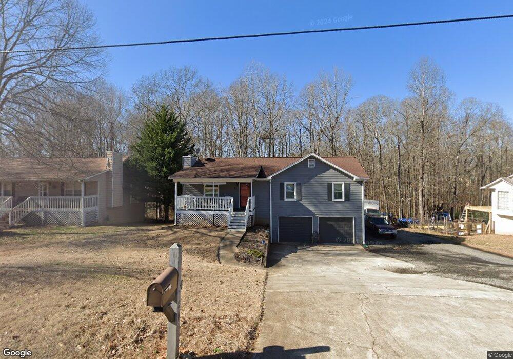
80 Landing Dr Unit 2 Powder Springs, GA 30127
Estimated Value: $278,000 - $307,000
3
Beds
2
Baths
1,524
Sq Ft
$195/Sq Ft
Est. Value
About This Home
This home is located at 80 Landing Dr Unit 2, Powder Springs, GA 30127 and is currently estimated at $296,708, approximately $194 per square foot. 80 Landing Dr Unit 2 is a home located in Paulding County with nearby schools including Hal Hutchens Elementary School, Irma C. Austin Middle School, and Hiram High School.
Ownership History
Date
Name
Owned For
Owner Type
Purchase Details
Closed on
Nov 5, 1999
Sold by
Austera Robert J and Austera Michele D
Bought by
Muhoro Simon
Current Estimated Value
Home Financials for this Owner
Home Financials are based on the most recent Mortgage that was taken out on this home.
Original Mortgage
$90,256
Outstanding Balance
$27,449
Interest Rate
7.7%
Mortgage Type
FHA
Estimated Equity
$269,259
Create a Home Valuation Report for This Property
The Home Valuation Report is an in-depth analysis detailing your home's value as well as a comparison with similar homes in the area
Home Values in the Area
Average Home Value in this Area
Purchase History
| Date | Buyer | Sale Price | Title Company |
|---|---|---|---|
| Muhoro Simon | $91,000 | -- |
Source: Public Records
Mortgage History
| Date | Status | Borrower | Loan Amount |
|---|---|---|---|
| Open | Muhoro Simon | $90,256 |
Source: Public Records
Tax History Compared to Growth
Tax History
| Year | Tax Paid | Tax Assessment Tax Assessment Total Assessment is a certain percentage of the fair market value that is determined by local assessors to be the total taxable value of land and additions on the property. | Land | Improvement |
|---|---|---|---|---|
| 2024 | $2,757 | $110,836 | $12,000 | $98,836 |
| 2023 | $2,932 | $112,484 | $12,000 | $100,484 |
| 2022 | $2,549 | $97,776 | $12,000 | $85,776 |
| 2021 | $1,861 | $64,028 | $8,000 | $56,028 |
| 2020 | $1,887 | $63,532 | $8,000 | $55,532 |
| 2019 | $1,618 | $53,696 | $8,000 | $45,696 |
| 2018 | $1,520 | $50,456 | $8,000 | $42,456 |
| 2017 | $1,281 | $41,920 | $8,000 | $33,920 |
| 2016 | $1,196 | $39,544 | $8,000 | $31,544 |
| 2015 | $1,069 | $34,740 | $8,000 | $26,740 |
| 2014 | $804 | $25,472 | $8,000 | $17,472 |
| 2013 | -- | $15,920 | $6,000 | $9,920 |
Source: Public Records
Map
Nearby Homes
- 31 Sweetwater Pass
- 180 Wimberly Way
- 422 Enclave Dr
- 99 Breckenridge Ln
- 258 Wimberly Way
- 397 Lovejoy Cir
- 231 Breckenridge Ln
- 0 Borrow Pit Rd Unit 10504034
- 00 Borrow Pit Rd
- 145 Mary Hill Ln
- 420 Florence Rd
- 260 Sterling Dr
- 215 Troy Path
- 115 Haven Brook Way
- 521 Sterling Dr
- 392 Beranda Cir
- 484 Legacy Park Dr
- 5036 Hiram Douglasville Hwy
- 922 Florence Rd
- 104 Landing Dr
- 54 Landing Dr
- 89 Landing Dr
- 120 Landing Dr
- 0 Landing Dr Unit 7406619
- 0 Landing Dr Unit 7258723
- 0 Landing Dr Unit 8387640
- 0 Landing Dr Unit 7620027
- 0 Landing Dr Unit 7571277
- 0 Landing Dr Unit 7535610
- 0 Landing Dr Unit 7485370
- 0 Landing Dr
- 36 Landing Dr
- 57 Landing Dr
- 134 Landing Dr
- 135 Landing Dr
- 36 Landing Ct
- 33 Landing Ct
- 27 Landing Dr
- 217 Landing Dr