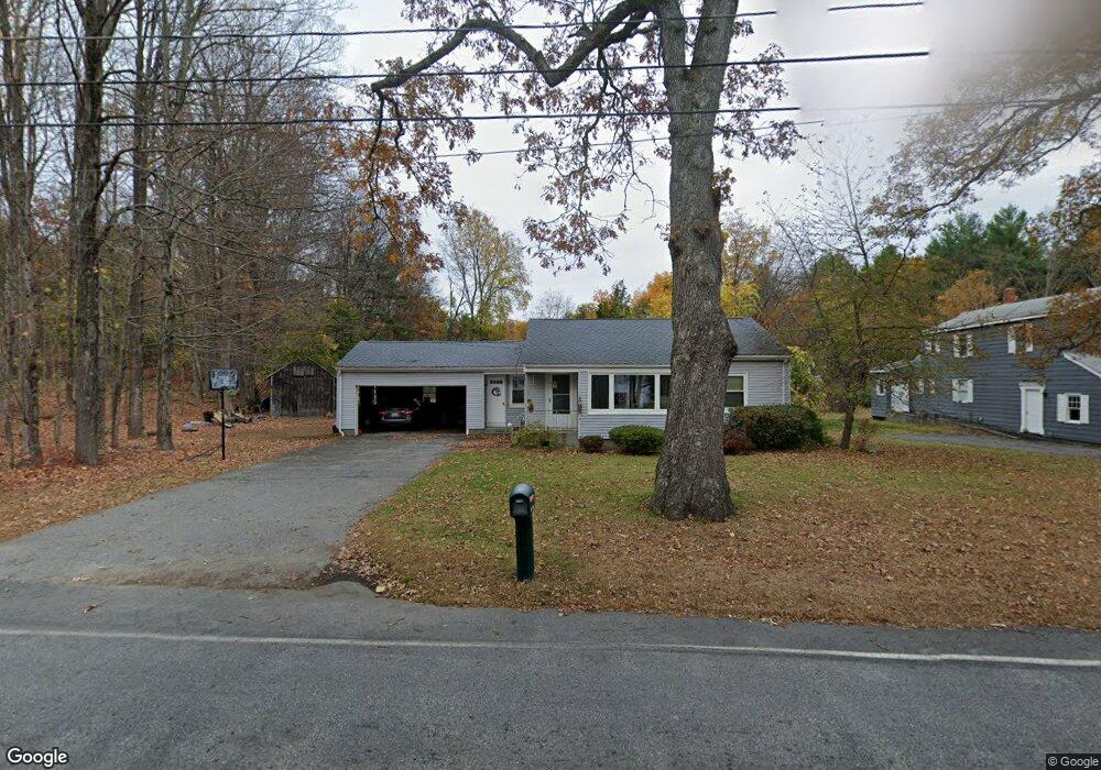
80 Laurel St West Boylston, MA 01583
Estimated Value: $428,000 - $504,000
2
Beds
2
Baths
986
Sq Ft
$457/Sq Ft
Est. Value
About This Home
This home is located at 80 Laurel St, West Boylston, MA 01583 and is currently estimated at $450,945, approximately $457 per square foot. 80 Laurel St is a home located in Worcester County with nearby schools including Major Edwards Elementary School and West Boylston Junior/Senior High School.
Ownership History
Date
Name
Owned For
Owner Type
Purchase Details
Closed on
Aug 21, 2001
Sold by
Fancy Barbara H
Bought by
Fancy Alan R and Fancy Ruth A
Current Estimated Value
Home Financials for this Owner
Home Financials are based on the most recent Mortgage that was taken out on this home.
Original Mortgage
$165,000
Outstanding Balance
$64,410
Interest Rate
7.16%
Mortgage Type
Purchase Money Mortgage
Estimated Equity
$386,535
Purchase Details
Closed on
Sep 22, 1988
Sold by
Fancy Lawr K
Bought by
Fancy A H
Create a Home Valuation Report for This Property
The Home Valuation Report is an in-depth analysis detailing your home's value as well as a comparison with similar homes in the area
Home Values in the Area
Average Home Value in this Area
Purchase History
| Date | Buyer | Sale Price | Title Company |
|---|---|---|---|
| Fancy Alan R | $165,000 | -- | |
| Fancy A H | $112,800 | -- |
Source: Public Records
Mortgage History
| Date | Status | Borrower | Loan Amount |
|---|---|---|---|
| Open | Fancy A H | $165,000 |
Source: Public Records
Tax History Compared to Growth
Tax History
| Year | Tax Paid | Tax Assessment Tax Assessment Total Assessment is a certain percentage of the fair market value that is determined by local assessors to be the total taxable value of land and additions on the property. | Land | Improvement |
|---|---|---|---|---|
| 2025 | $52 | $374,700 | $106,000 | $268,700 |
| 2024 | $5,118 | $346,300 | $106,000 | $240,300 |
| 2023 | $5,101 | $327,400 | $105,000 | $222,400 |
| 2022 | $4,873 | $275,600 | $105,000 | $170,600 |
| 2021 | $5,354 | $256,900 | $101,000 | $155,900 |
| 2020 | $4,667 | $251,200 | $101,000 | $150,200 |
| 2019 | $5,019 | $233,800 | $101,000 | $132,800 |
| 2018 | $3,021 | $225,600 | $101,000 | $124,600 |
| 2017 | $3,790 | $201,600 | $101,000 | $100,600 |
| 2016 | $3,686 | $199,800 | $94,200 | $105,600 |
| 2015 | $3,538 | $192,900 | $93,200 | $99,700 |
Source: Public Records
Map
Nearby Homes
- 16 N Main St
- 287 Laurel St
- 26 Townsend Dr
- 20 Winthrop St
- 136 Sterling St Unit A3
- 0 North St
- Lot 1 Manning St
- 0 Boutelle Rd
- 61 Boutelle Rd
- 156 Prospect St
- 2 Lakeview Ave
- 18 Laurel Ave
- 223 Worcester Rd
- 21 Myrtle Ave
- 152 Worcester St Unit 8
- 4 Jewett Rd Unit B
- 4 Jewett Rd Unit A
- 54 Maple St
- 62 Maple St
- 751 Mason Rd