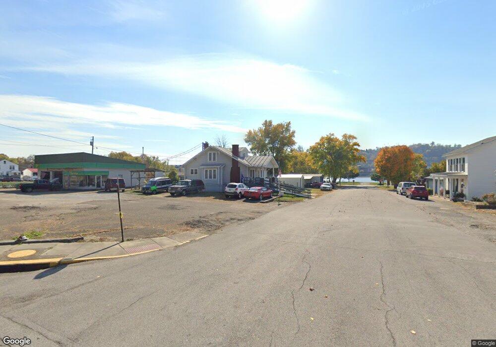
80 Locust St Ripley, OH 45167
Estimated Value: $75,177 - $128,000
2
Beds
1
Bath
1,334
Sq Ft
$72/Sq Ft
Est. Value
About This Home
This home is located at 80 Locust St, Ripley, OH 45167 and is currently estimated at $95,794, approximately $71 per square foot. 80 Locust St is a home located in Brown County with nearby schools including Ripley Union Lewis Huntington Elementary School, Ripley Union Lewis Huntington Middle School, and Ripley-Union-Lewis-Huntington High School.
Ownership History
Date
Name
Owned For
Owner Type
Purchase Details
Closed on
Nov 15, 2023
Sold by
Fite Roscoe
Bought by
Bolar Roger
Current Estimated Value
Purchase Details
Closed on
Nov 8, 2001
Sold by
Bramel Louis
Bought by
Fite Roy and Fite Katherine
Home Financials for this Owner
Home Financials are based on the most recent Mortgage that was taken out on this home.
Original Mortgage
$43,510
Interest Rate
7.99%
Mortgage Type
New Conventional
Purchase Details
Closed on
Nov 22, 1993
Sold by
Fite Roy and Fite Katherine
Bought by
Bramel Louis and Bramel Clara
Create a Home Valuation Report for This Property
The Home Valuation Report is an in-depth analysis detailing your home's value as well as a comparison with similar homes in the area
Home Values in the Area
Average Home Value in this Area
Purchase History
| Date | Buyer | Sale Price | Title Company |
|---|---|---|---|
| Bolar Roger | $60,000 | None Listed On Document | |
| Fite Roy | $50,000 | -- | |
| Bramel Louis | $29,000 | -- |
Source: Public Records
Mortgage History
| Date | Status | Borrower | Loan Amount |
|---|---|---|---|
| Previous Owner | Fite Roy | $43,510 |
Source: Public Records
Tax History Compared to Growth
Tax History
| Year | Tax Paid | Tax Assessment Tax Assessment Total Assessment is a certain percentage of the fair market value that is determined by local assessors to be the total taxable value of land and additions on the property. | Land | Improvement |
|---|---|---|---|---|
| 2024 | $885 | $24,970 | $2,030 | $22,940 |
| 2023 | $885 | $22,080 | $1,390 | $20,690 |
| 2022 | $522 | $22,080 | $1,390 | $20,690 |
| 2021 | $518 | $22,080 | $1,390 | $20,690 |
| 2020 | $428 | $19,200 | $1,210 | $17,990 |
| 2019 | $426 | $19,200 | $1,210 | $17,990 |
| 2018 | $370 | $19,200 | $1,210 | $17,990 |
| 2017 | $280 | $16,500 | $1,340 | $15,160 |
| 2016 | $280 | $16,500 | $1,340 | $15,160 |
| 2015 | $276 | $16,500 | $1,340 | $15,160 |
| 2014 | $287 | $16,370 | $1,210 | $15,160 |
| 2013 | $267 | $16,370 | $1,210 | $15,160 |
Source: Public Records
Map
Nearby Homes
- 610 N Second St
- 45 Main St
- 220 Main St
- 316 Circle Dr
- 402 Circle Dr
- 633 Robins Way
- 800 Catherine St
- 3635 Circle Dr
- 4381 E Us Highway 52
- 65 Governor St
- 1016 Elizabeth St
- 5205 U S 52
- 1205 Pearl St
- 2028 Lucretia St
- 3111 Lees Creek Rd
- 5796 Mary Ingles Hwy
- 2053 Johnson St
- 5050 U S 52
- 3179 Stephenson Rd
- 3150 Dover Minerva Rd