80 Longview Rd Boyertown, PA 19512
Estimated Value: $345,000 - $470,000
2
Beds
1
Bath
1,676
Sq Ft
$230/Sq Ft
Est. Value
About This Home
This home is located at 80 Longview Rd, Boyertown, PA 19512 and is currently estimated at $384,873, approximately $229 per square foot. 80 Longview Rd is a home located in Berks County with nearby schools including Boyertown Area Senior High School.
Ownership History
Date
Name
Owned For
Owner Type
Purchase Details
Closed on
Mar 11, 2022
Sold by
Riverpath Inc
Bought by
Matthews Robert and Matthews Katherine
Current Estimated Value
Home Financials for this Owner
Home Financials are based on the most recent Mortgage that was taken out on this home.
Original Mortgage
$289,656
Outstanding Balance
$270,632
Interest Rate
3.92%
Mortgage Type
FHA
Estimated Equity
$114,241
Purchase Details
Closed on
Sep 8, 2016
Sold by
Sheriff Of Berks County
Bought by
Riverpath Inc
Purchase Details
Closed on
Apr 4, 1994
Bought by
Adams Scott F and Adams Phyllis N
Create a Home Valuation Report for This Property
The Home Valuation Report is an in-depth analysis detailing your home's value as well as a comparison with similar homes in the area
Home Values in the Area
Average Home Value in this Area
Purchase History
| Date | Buyer | Sale Price | Title Company |
|---|---|---|---|
| Matthews Robert | $295,000 | None Listed On Document | |
| Riverpath Inc | $100,000 | Attorney | |
| Adams Scott F | $115,000 | -- |
Source: Public Records
Mortgage History
| Date | Status | Borrower | Loan Amount |
|---|---|---|---|
| Open | Matthews Robert | $289,656 | |
| Closed | Riverpath Inc | $0 |
Source: Public Records
Tax History Compared to Growth
Tax History
| Year | Tax Paid | Tax Assessment Tax Assessment Total Assessment is a certain percentage of the fair market value that is determined by local assessors to be the total taxable value of land and additions on the property. | Land | Improvement |
|---|---|---|---|---|
| 2025 | $721 | $80,000 | $54,600 | $25,400 |
| 2024 | $3,133 | $80,000 | $54,600 | $25,400 |
| 2023 | $3,006 | $80,000 | $54,600 | $25,400 |
| 2022 | $2,936 | $80,000 | $54,600 | $25,400 |
| 2021 | $2,869 | $80,000 | $54,600 | $25,400 |
| 2020 | $2,799 | $80,000 | $54,600 | $25,400 |
| 2019 | $2,722 | $80,000 | $54,600 | $25,400 |
| 2018 | $2,614 | $80,000 | $54,600 | $25,400 |
| 2017 | $2,531 | $80,000 | $54,600 | $25,400 |
| 2016 | $578 | $80,000 | $54,600 | $25,400 |
| 2015 | $578 | $80,000 | $54,600 | $25,400 |
| 2014 | $578 | $80,000 | $54,600 | $25,400 |
Source: Public Records
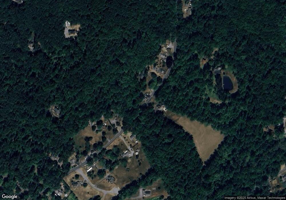
Map
Nearby Homes
- 1034 Manatawny Rd
- 2 Machamer Rd
- 56 Amity Ave
- 24 4th St
- 35 Winding Creek Dr
- 108 Highland Ct
- 7816 Boyertown Pike
- 335 Anvil Dr
- 175 Levengood Rd
- 0 Woodchoppertown
- 84 Sunset Hill Rd
- 0 Amity Park Rd Unit PABK2036766
- 1621 Limekiln Rd
- 16 Kristine Ave
- 6363 Boyertown Pike
- 1041 Reading Ave
- 704 Old Swede Rd
- 31 Allegheny St
- 1008 Reading Ave
- 107 Clarion Dr