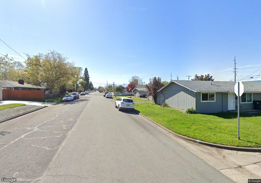
80 Maple St Central Point, OR 97502
Estimated Value: $312,732 - $375,000
3
Beds
2
Baths
1,368
Sq Ft
$244/Sq Ft
Est. Value
About This Home
This home is located at 80 Maple St, Central Point, OR 97502 and is currently estimated at $334,183, approximately $244 per square foot. 80 Maple St is a home located in Jackson County with nearby schools including Jewett Elementary School, Scenic Middle School, and Crater High School.
Ownership History
Date
Name
Owned For
Owner Type
Purchase Details
Closed on
Feb 22, 2014
Sold by
Gordon Melanie
Bought by
Gordon Melanie and Kirk Seth Gordon
Current Estimated Value
Purchase Details
Closed on
Mar 15, 2011
Sold by
Bank Of The Cascades
Bought by
Gordon Melanie
Purchase Details
Closed on
Nov 3, 2004
Sold by
Adams Carlos Jack and Adams Melissa Rae
Bought by
Barber Mark E and Barber Laura A
Create a Home Valuation Report for This Property
The Home Valuation Report is an in-depth analysis detailing your home's value as well as a comparison with similar homes in the area
Purchase History
| Date | Buyer | Sale Price | Title Company |
|---|---|---|---|
| Gordon Melanie | -- | None Available | |
| Gordon Melanie | $110,000 | Amerititle | |
| Barber Mark E | $88,464 | Lawyers Title Ins |
Source: Public Records
Tax History
| Year | Tax Paid | Tax Assessment Tax Assessment Total Assessment is a certain percentage of the fair market value that is determined by local assessors to be the total taxable value of land and additions on the property. | Land | Improvement |
|---|---|---|---|---|
| 2026 | $1,940 | $166,650 | -- | -- |
| 2025 | $1,896 | $161,800 | $72,680 | $89,120 |
| 2024 | $1,896 | $157,090 | $70,560 | $86,530 |
| 2023 | $1,831 | $152,520 | $68,500 | $84,020 |
| 2022 | $1,781 | $152,520 | $68,500 | $84,020 |
| 2021 | $1,728 | $148,080 | $66,510 | $81,570 |
| 2020 | $1,863 | $143,770 | $64,570 | $79,200 |
| 2019 | $1,838 | $135,530 | $60,860 | $74,670 |
| 2018 | $1,828 | $131,590 | $59,090 | $72,500 |
| 2017 | $1,670 | $131,590 | $59,090 | $72,500 |
| 2016 | $1,615 | $124,040 | $55,690 | $68,350 |
| 2015 | $1,566 | $124,040 | $55,690 | $68,350 |
| 2014 | -- | $116,930 | $52,500 | $64,430 |
Source: Public Records
Map
Nearby Homes
- 342 Hazel St
- 144 N 5th St
- 55 Crater Ln
- 348 N 6th St
- 626 Griffin Oaks Dr
- 331 N 8th St
- 731 Maple St
- 220 S 3rd St
- 350 Alder St
- 166 Nadine Ln
- 349 W Pine St
- 185 Logan Ave
- 833 Hazel St
- 404 Silver Creek Dr
- 114 Cedar St
- 407 Silver Creek Dr
- 0 Boulder Ridge St
- 4626 N Pacific Hwy
- 436 Cheney Loop
- 348 Cascade Dr
Your Personal Tour Guide
Ask me questions while you tour the home.