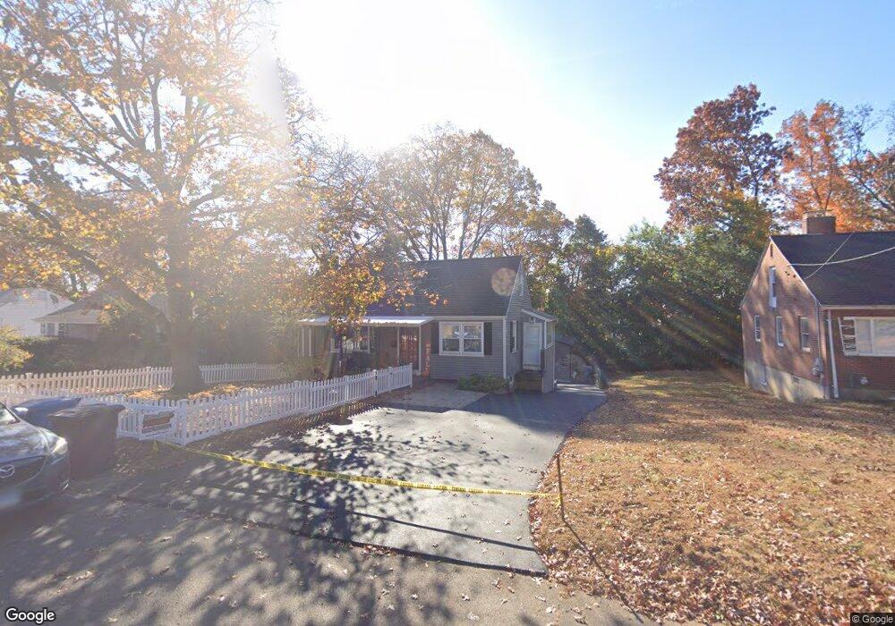
80 Maplehurst Ave New Britain, CT 06053
Estimated Value: $246,000 - $341,000
3
Beds
2
Baths
1,331
Sq Ft
$229/Sq Ft
Est. Value
About This Home
This home is located at 80 Maplehurst Ave, New Britain, CT 06053 and is currently estimated at $305,133, approximately $229 per square foot. 80 Maplehurst Ave is a home located in Hartford County with nearby schools including Gaffney School and Slade Middle School.
Ownership History
Date
Name
Owned For
Owner Type
Purchase Details
Closed on
Sep 13, 2010
Sold by
Bank Of New York Mello
Bought by
Davila Zulma M
Current Estimated Value
Home Financials for this Owner
Home Financials are based on the most recent Mortgage that was taken out on this home.
Original Mortgage
$120,003
Interest Rate
4.75%
Mortgage Type
FHA
Purchase Details
Closed on
May 5, 2010
Sold by
Tillman Bonnie G
Bought by
Bank Of New York Mello
Purchase Details
Closed on
Oct 17, 2001
Sold by
Mangiafico Mary
Bought by
Tillman Arnold M and Tillman Bonnie G
Create a Home Valuation Report for This Property
The Home Valuation Report is an in-depth analysis detailing your home's value as well as a comparison with similar homes in the area
Home Values in the Area
Average Home Value in this Area
Purchase History
| Date | Buyer | Sale Price | Title Company |
|---|---|---|---|
| Davila Zulma M | $105,000 | -- | |
| Bank Of New York Mello | -- | -- | |
| Tillman Arnold M | $110,000 | -- |
Source: Public Records
Mortgage History
| Date | Status | Borrower | Loan Amount |
|---|---|---|---|
| Open | Tillman Arnold M | $112,500 | |
| Closed | Tillman Arnold M | $120,003 | |
| Previous Owner | Tillman Arnold M | $125,600 |
Source: Public Records
Tax History
| Year | Tax Paid | Tax Assessment Tax Assessment Total Assessment is a certain percentage of the fair market value that is determined by local assessors to be the total taxable value of land and additions on the property. | Land | Improvement |
|---|---|---|---|---|
| 2025 | $6,445 | $164,500 | $54,950 | $109,550 |
| 2024 | $6,513 | $164,500 | $54,950 | $109,550 |
| 2023 | $6,297 | $164,500 | $54,950 | $109,550 |
| 2022 | $5,007 | $101,150 | $25,340 | $75,810 |
| 2021 | $4,893 | $98,840 | $25,340 | $73,500 |
| 2020 | $4,991 | $98,840 | $25,340 | $73,500 |
| 2019 | $4,991 | $98,840 | $25,340 | $73,500 |
| 2018 | $4,991 | $98,840 | $25,340 | $73,500 |
| 2017 | $4,528 | $89,670 | $21,140 | $68,530 |
| 2016 | $4,528 | $89,670 | $21,140 | $68,530 |
| 2015 | $4,394 | $89,670 | $21,140 | $68,530 |
| 2014 | $4,394 | $89,670 | $21,140 | $68,530 |
Source: Public Records
Map
Nearby Homes
- 19 Maplehurst Ave
- 230 Hillhurst Ave
- 240 Hillhurst Ave
- 54 Fairlane Dr
- 25 Clinton St
- 527 Burritt St
- 37 Richard St
- 234 Pierremount Ave
- 7 Ledyard Rd
- 134 Russwin Rd
- 266 Grove St
- 164 Curtis St
- 77 Booth St
- 80 Gold St
- 36 N Mountain Rd Unit D
- 55 Allen St
- 50 Curtin Ave
- 18 Woodruff Ct
- 21 Skipper St
- 24 Pentlow Ave
- 74 Maplehurst Ave
- 86 Maplehurst Ave
- 68 Maplehurst Ave
- 65 Hillhurst Ave
- 59 Hillhurst Ave
- 98 Maplehurst Ave
- 55 Hillhurst Ave
- 60 Maplehurst Ave
- 81 Maplehurst Ave
- 49 Hillhurst Ave
- 73 Maplehurst Ave
- 91 Maplehurst Ave
- 43 Hillhurst Ave
- 67 Maplehurst Ave
- 106 Maplehurst Ave
- 50 Maplehurst Ave
- 37 Hillhurst Ave
- 55 Maplehurst Ave
- 33 Hillhurst Ave
- 36 Fortress St
Your Personal Tour Guide
Ask me questions while you tour the home.