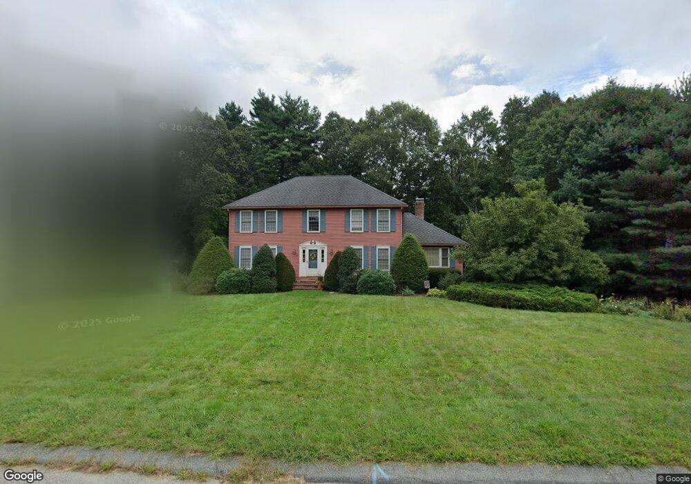
80 Martin Ln Wrentham, MA 02093
Estimated Value: $830,208 - $983,000
4
Beds
3
Baths
2,431
Sq Ft
$374/Sq Ft
Est. Value
About This Home
This home is located at 80 Martin Ln, Wrentham, MA 02093 and is currently estimated at $910,052, approximately $374 per square foot. 80 Martin Ln is a home located in Norfolk County with nearby schools including Delaney Elementary School and Charles E Roderick.
Ownership History
Date
Name
Owned For
Owner Type
Purchase Details
Closed on
Oct 31, 2000
Sold by
Plummer John F and Plummer Betsy J
Bought by
Harvey John V and Harvey Lynette J
Current Estimated Value
Home Financials for this Owner
Home Financials are based on the most recent Mortgage that was taken out on this home.
Original Mortgage
$252,700
Outstanding Balance
$92,783
Interest Rate
7.83%
Mortgage Type
Purchase Money Mortgage
Estimated Equity
$817,269
Create a Home Valuation Report for This Property
The Home Valuation Report is an in-depth analysis detailing your home's value as well as a comparison with similar homes in the area
Home Values in the Area
Average Home Value in this Area
Purchase History
| Date | Buyer | Sale Price | Title Company |
|---|---|---|---|
| Harvey John V | $345,000 | -- |
Source: Public Records
Mortgage History
| Date | Status | Borrower | Loan Amount |
|---|---|---|---|
| Open | Harvey John V | $252,700 | |
| Previous Owner | Harvey John V | $145,300 |
Source: Public Records
Tax History Compared to Growth
Tax History
| Year | Tax Paid | Tax Assessment Tax Assessment Total Assessment is a certain percentage of the fair market value that is determined by local assessors to be the total taxable value of land and additions on the property. | Land | Improvement |
|---|---|---|---|---|
| 2025 | $8,223 | $709,500 | $292,800 | $416,700 |
| 2024 | $7,948 | $662,300 | $292,800 | $369,500 |
| 2023 | $7,635 | $605,000 | $266,200 | $338,800 |
| 2022 | $7,301 | $534,100 | $248,300 | $285,800 |
| 2021 | $6,751 | $479,800 | $216,800 | $263,000 |
| 2020 | $6,957 | $488,200 | $192,800 | $295,400 |
| 2019 | $6,704 | $474,800 | $192,800 | $282,000 |
| 2018 | $6,656 | $467,400 | $193,000 | $274,400 |
| 2017 | $6,524 | $457,800 | $189,300 | $268,500 |
| 2016 | $6,386 | $447,200 | $183,800 | $263,400 |
| 2015 | $6,368 | $425,100 | $176,700 | $248,400 |
| 2014 | $6,306 | $411,900 | $170,000 | $241,900 |
Source: Public Records
Map
Nearby Homes
- 50 Reed Fulton Ave Unit Lot 61
- 45 Joshua Rd
- 570 Franklin St
- 246 Forest Grove Ave
- 45 King St
- 3 Oak Rd
- 3 Sparrow Rd
- 10 Nature View Dr
- 15 Nature View Dr
- 12 Waites Crossing Way
- 14 Essex St
- 270 Dedham St
- 11 Elliot Mills Unit 11
- 0 W Birch Rd
- 131 Creek St Unit 7
- 10 W Birch Rd
- 1 Lorraine Metcalf Dr
- 11 Waites Crossing
- 20 Waites Crossing
- 19 Waites Crossing