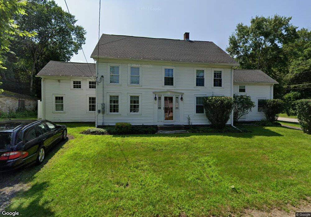
80 North St Unit 1 Douglas, MA 01516
Estimated Value: $441,471 - $576,000
3
Beds
1
Bath
1,100
Sq Ft
$488/Sq Ft
Est. Value
About This Home
This home is located at 80 North St Unit 1, Douglas, MA 01516 and is currently estimated at $537,118, approximately $488 per square foot. 80 North St Unit 1 is a home located in Worcester County with nearby schools including Douglas Primary School, Douglas Middle School, and Douglas High School.
Ownership History
Date
Name
Owned For
Owner Type
Purchase Details
Closed on
May 7, 2018
Sold by
Vincent Chad and Vincent Ingrid
Bought by
Vincent Ingrid N and Nuissl Margot S
Current Estimated Value
Purchase Details
Closed on
May 14, 2002
Sold by
Greene David H and Greene Lori A
Bought by
Vincent Chad and Vincent Ingrid
Home Financials for this Owner
Home Financials are based on the most recent Mortgage that was taken out on this home.
Original Mortgage
$159,600
Interest Rate
7.18%
Mortgage Type
Purchase Money Mortgage
Purchase Details
Closed on
May 7, 1999
Sold by
State Street B & T
Bought by
Greene Lori and Greene David
Home Financials for this Owner
Home Financials are based on the most recent Mortgage that was taken out on this home.
Original Mortgage
$60,000
Interest Rate
6.92%
Mortgage Type
Purchase Money Mortgage
Purchase Details
Closed on
Jun 26, 1998
Sold by
Degnan Michael J
Bought by
State Street B & T
Create a Home Valuation Report for This Property
The Home Valuation Report is an in-depth analysis detailing your home's value as well as a comparison with similar homes in the area
Home Values in the Area
Average Home Value in this Area
Purchase History
| Date | Buyer | Sale Price | Title Company |
|---|---|---|---|
| Vincent Ingrid N | -- | -- | |
| Vincent Chad | $168,000 | -- | |
| Greene Lori | $70,000 | -- | |
| State Street B & T | $125,954 | -- |
Source: Public Records
Mortgage History
| Date | Status | Borrower | Loan Amount |
|---|---|---|---|
| Previous Owner | State Street B & T | $175,000 | |
| Previous Owner | State Street B & T | $159,600 | |
| Previous Owner | State Street B & T | $110,250 | |
| Previous Owner | State Street B & T | $60,000 |
Source: Public Records
Tax History Compared to Growth
Tax History
| Year | Tax Paid | Tax Assessment Tax Assessment Total Assessment is a certain percentage of the fair market value that is determined by local assessors to be the total taxable value of land and additions on the property. | Land | Improvement |
|---|---|---|---|---|
| 2025 | $48 | $365,300 | $100,700 | $264,600 |
| 2024 | $4,797 | $354,800 | $95,900 | $258,900 |
| 2023 | $4,696 | $327,000 | $95,900 | $231,100 |
| 2022 | $4,608 | $282,000 | $85,900 | $196,100 |
| 2021 | $4,529 | $270,900 | $81,800 | $189,100 |
| 2020 | $4,235 | $249,400 | $81,800 | $167,600 |
| 2019 | $4,130 | $236,000 | $81,800 | $154,200 |
| 2018 | $3,720 | $231,500 | $81,800 | $149,700 |
| 2017 | $3,386 | $202,500 | $78,300 | $124,200 |
| 2016 | $3,381 | $201,000 | $78,300 | $122,700 |
| 2015 | $3,308 | $201,000 | $78,300 | $122,700 |
Source: Public Records
Map
Nearby Homes
- 1 Nautical Way Unit 1
- 6 Nautical Way Unit INT.-122
- 2 C St
- 33 Nautical Way Unit 107
- 5 B St
- 8 Hough Rd
- 189 Main St
- 190 Whitins Rd
- 68 Lackey Dam Rd
- 13 Eagle Dr
- 10 Eagle Dr
- 108 Mumford St
- 18 Mumford Rd
- 103 Uxbridge St
- 99 Maple St
- 201 Prescott Rd
- 8A Whitins Rd
- 8 Whitins Rd Unit A
- 56 Prescott Rd
- 26 Bayliss Way