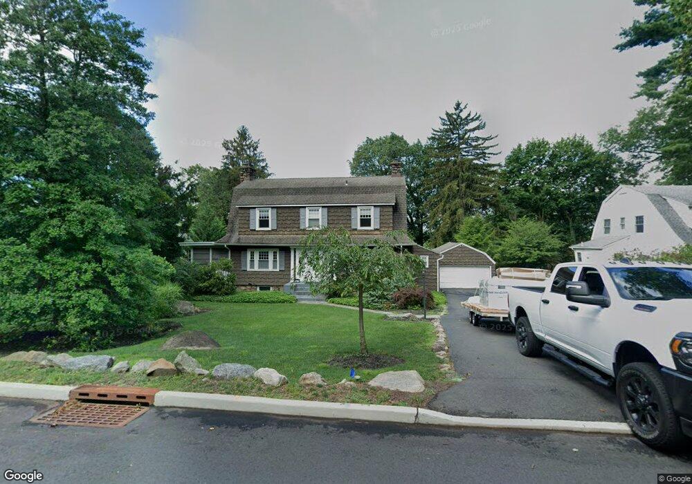
80 Oweno Rd Mahwah, NJ 07430
Estimated Value: $794,013 - $978,000
--
Bed
--
Bath
2,044
Sq Ft
$416/Sq Ft
Est. Value
About This Home
This home is located at 80 Oweno Rd, Mahwah, NJ 07430 and is currently estimated at $849,503, approximately $415 per square foot. 80 Oweno Rd is a home located in Bergen County with nearby schools including Mahwah High School.
Ownership History
Date
Name
Owned For
Owner Type
Purchase Details
Closed on
Oct 1, 2014
Sold by
Goodwine Margaret T and Goodwin James C
Bought by
Loreto Thomas and Hayhurst Sarah
Current Estimated Value
Home Financials for this Owner
Home Financials are based on the most recent Mortgage that was taken out on this home.
Original Mortgage
$25,000
Outstanding Balance
$19,159
Interest Rate
4.09%
Mortgage Type
Future Advance Clause Open End Mortgage
Estimated Equity
$830,344
Purchase Details
Closed on
Feb 27, 1998
Sold by
Goodwine Margaret T
Bought by
Goodwine Margaret T and Goodwine James C
Create a Home Valuation Report for This Property
The Home Valuation Report is an in-depth analysis detailing your home's value as well as a comparison with similar homes in the area
Home Values in the Area
Average Home Value in this Area
Purchase History
| Date | Buyer | Sale Price | Title Company |
|---|---|---|---|
| Loreto Thomas | $490,000 | -- | |
| Goodwine Margaret T | -- | -- |
Source: Public Records
Mortgage History
| Date | Status | Borrower | Loan Amount |
|---|---|---|---|
| Open | Loreto Thomas | $25,000 |
Source: Public Records
Tax History Compared to Growth
Tax History
| Year | Tax Paid | Tax Assessment Tax Assessment Total Assessment is a certain percentage of the fair market value that is determined by local assessors to be the total taxable value of land and additions on the property. | Land | Improvement |
|---|---|---|---|---|
| 2025 | $9,585 | $464,400 | $325,000 | $139,400 |
| 2024 | $9,460 | $464,400 | $325,000 | $139,400 |
| 2023 | $9,158 | $464,400 | $325,000 | $139,400 |
| 2022 | $9,158 | $464,400 | $325,000 | $139,400 |
| 2021 | $9,060 | $464,400 | $325,000 | $139,400 |
| 2020 | $8,842 | $464,400 | $325,000 | $139,400 |
| 2019 | $8,550 | $464,400 | $325,000 | $139,400 |
| 2018 | $8,429 | $464,400 | $325,000 | $139,400 |
| 2017 | $8,294 | $464,400 | $325,000 | $139,400 |
| 2016 | $8,113 | $464,400 | $325,000 | $139,400 |
| 2015 | $8,002 | $464,400 | $325,000 | $139,400 |
| 2014 | $7,617 | $464,400 | $325,000 | $139,400 |
Source: Public Records
Map
Nearby Homes
- 37 Hillside Ave
- 324 Franklin Turnpike
- 16 Gardner St
- 12 Alcott Rd
- 199 Island Rd
- 163 Rutherford Rd
- 18 Boulder Trail
- 13 Winter Terrace
- 112 Moffatt Rd
- 1248 Garrison Ct Unit E1
- 111 Moffatt Rd
- 66 Thunderhead Place
- 1415 York St
- 1114 Hyde Park Ct Unit 1114
- 2115 Henry Ct Unit 1
- 2054 Charles Ct
- 17 Grist Mill Run
- 2130 Isabelle Ct
- 1003 Crown Ct
- 2170 Kent Ct