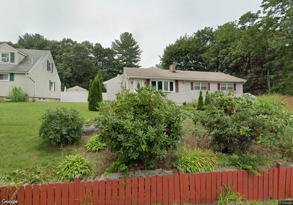
80 Pond St Billerica, MA 01821
Estimated Value: $795,000 - $871,000
4
Beds
2
Baths
2,426
Sq Ft
$348/Sq Ft
Est. Value
About This Home
This home is located at 80 Pond St, Billerica, MA 01821 and is currently estimated at $845,193, approximately $348 per square foot. 80 Pond St is a home located in Middlesex County with nearby schools including Billerica Memorial High School.
Ownership History
Date
Name
Owned For
Owner Type
Purchase Details
Closed on
Oct 1, 2007
Sold by
Greene Leona
Bought by
Pavlova Daniela and Pavlov Mario
Current Estimated Value
Home Financials for this Owner
Home Financials are based on the most recent Mortgage that was taken out on this home.
Original Mortgage
$262,500
Interest Rate
6.65%
Mortgage Type
Purchase Money Mortgage
Purchase Details
Closed on
Oct 30, 1998
Sold by
Auciello Phillip and Toppi Phyllis M
Bought by
Greene Leona M
Create a Home Valuation Report for This Property
The Home Valuation Report is an in-depth analysis detailing your home's value as well as a comparison with similar homes in the area
Home Values in the Area
Average Home Value in this Area
Purchase History
| Date | Buyer | Sale Price | Title Company |
|---|---|---|---|
| Pavlova Daniela | $350,000 | -- | |
| Greene Leona M | $162,000 | -- |
Source: Public Records
Mortgage History
| Date | Status | Borrower | Loan Amount |
|---|---|---|---|
| Open | Greene Leona M | $251,750 | |
| Closed | Pavlova Daniela | $262,500 | |
| Previous Owner | Greene Leona M | $277,000 |
Source: Public Records
Tax History Compared to Growth
Tax History
| Year | Tax Paid | Tax Assessment Tax Assessment Total Assessment is a certain percentage of the fair market value that is determined by local assessors to be the total taxable value of land and additions on the property. | Land | Improvement |
|---|---|---|---|---|
| 2025 | $7,547 | $663,800 | $285,300 | $378,500 |
| 2024 | $6,996 | $619,700 | $258,100 | $361,600 |
| 2023 | $6,803 | $573,100 | $218,800 | $354,300 |
| 2022 | $6,352 | $502,500 | $201,400 | $301,100 |
| 2021 | $6,049 | $465,300 | $188,600 | $276,700 |
| 2020 | $5,948 | $457,900 | $181,200 | $276,700 |
| 2019 | $5,451 | $404,400 | $159,400 | $245,000 |
| 2018 | $6,366 | $367,100 | $147,700 | $219,400 |
| 2017 | $4,853 | $344,400 | $141,000 | $203,400 |
| 2016 | $4,846 | $342,700 | $139,300 | $203,400 |
| 2015 | $4,741 | $337,700 | $134,300 | $203,400 |
| 2014 | $4,710 | $329,600 | $126,200 | $203,400 |
Source: Public Records
Map
Nearby Homes
- LOT 54B Beverly Rd
- 29 Fox Hill Rd
- 4 Market St
- 3 Bayberry Ln
- 175 Pollard St
- 13 Heidi Ln
- 140 Pollard St
- 12 Stoney Dr
- 405 Boston Rd Unit 2
- 33 Pages Ct
- 13 Parker St
- 6 Magnolia Ave
- 79 Bridle Rd
- 28 Kenmar Dr Unit 283
- 14 Kenmar Dr Unit 111
- 5 Karen Cir Unit 16
- 37 Porter St
- 8 Brookdale Cir
- 8 Corthell Rd
- 0 Fitzpatrick Ln