80 Round Pond Rd Little Compton, RI 02837
Estimated Value: $2,118,000 - $3,121,113
6
Beds
3
Baths
2,816
Sq Ft
$949/Sq Ft
Est. Value
About This Home
This home is located at 80 Round Pond Rd, Little Compton, RI 02837 and is currently estimated at $2,673,528, approximately $949 per square foot. 80 Round Pond Rd is a home located in Newport County with nearby schools including Wilbur & McMahon School.
Ownership History
Date
Name
Owned For
Owner Type
Purchase Details
Closed on
Mar 9, 2016
Sold by
Keating Meredith O
Bought by
Keating Andrew S and Keating Meredith O
Current Estimated Value
Home Financials for this Owner
Home Financials are based on the most recent Mortgage that was taken out on this home.
Original Mortgage
$422,000
Outstanding Balance
$333,746
Interest Rate
3.79%
Mortgage Type
New Conventional
Estimated Equity
$2,339,782
Create a Home Valuation Report for This Property
The Home Valuation Report is an in-depth analysis detailing your home's value as well as a comparison with similar homes in the area
Home Values in the Area
Average Home Value in this Area
Purchase History
| Date | Buyer | Sale Price | Title Company |
|---|---|---|---|
| Keating Andrew S | -- | -- | |
| Keating Andrew S | -- | -- |
Source: Public Records
Mortgage History
| Date | Status | Borrower | Loan Amount |
|---|---|---|---|
| Open | Keating Andrew S | $422,000 | |
| Closed | Keating Andrew S | $125,000 | |
| Closed | Keating Andrew S | $422,000 | |
| Previous Owner | Keating Andrew S | $295,925 |
Source: Public Records
Tax History Compared to Growth
Tax History
| Year | Tax Paid | Tax Assessment Tax Assessment Total Assessment is a certain percentage of the fair market value that is determined by local assessors to be the total taxable value of land and additions on the property. | Land | Improvement |
|---|---|---|---|---|
| 2025 | $11,846 | $2,473,100 | $1,389,800 | $1,083,300 |
| 2024 | $11,688 | $2,300,800 | $1,208,600 | $1,092,200 |
| 2023 | $11,412 | $2,300,800 | $1,208,600 | $1,092,200 |
| 2022 | $11,274 | $2,300,800 | $1,208,600 | $1,092,200 |
| 2021 | $11,269 | $1,865,800 | $900,800 | $965,000 |
| 2020 | $11,070 | $1,848,100 | $900,800 | $947,300 |
| 2019 | $10,789 | $1,819,400 | $900,800 | $918,600 |
| 2018 | $8,476 | $1,422,200 | $900,800 | $521,400 |
| 2016 | $8,064 | $1,422,200 | $900,800 | $521,400 |
| 2015 | $8,259 | $1,436,300 | $887,300 | $549,000 |
| 2014 | $8,101 | $1,436,300 | $887,300 | $549,000 |
Source: Public Records
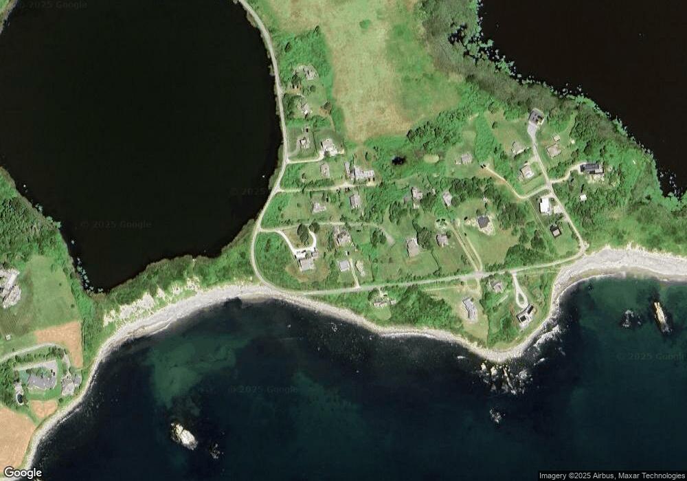
Map
Nearby Homes
- 536 W Main Rd
- 141 S Of Commons Rd
- 18 Old Barn Rd
- 128 Maple Ave
- 441 W Main Rd
- 304 Brayton Point Rd
- 515 Indian Ave
- 0 Willow Ave
- 189 Brayton Point Rd
- 62 Howland Ave
- 180 W Main Rd
- 78 Cornelius Dr
- 505 Long Hwy
- 17 Ferolbink Way
- 141 Gray Craig Rd
- 10 Bartlett Rd
- 155 W Main Rd
- 16 Sachuest Dr
- 0 Saltwood Dr
- 4 James St
- 90 Round Pond Rd
- 92 Round Pond Rd
- 60 Round Pond Rd
- 50 Round Pond Rd
- 56 Round Pond Rd
- 82 Round Pond Rd
- 62 Round Pond Rd
- 96 Round Pond Rd
- 54 Round Pond Rd
- 58 Round Pond Rd
- 70 Round Pond Rd
- 52 Round Pond Rd
- 93 Round Pond Rd
- 48 Round Pond Rd
- 72 Round Pond Rd
- 98 Round Pond Rd
- 0 Round Pond Rd
- 102 Round Pond Rd
- 97 Round Pond Rd
- 38 Round Pond Rd