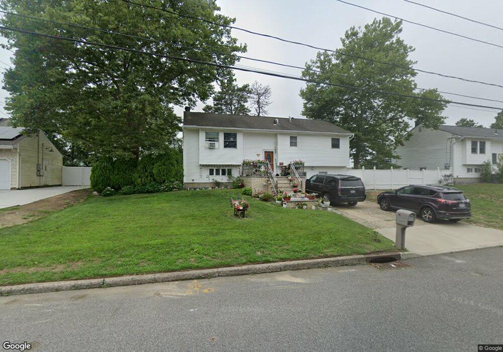
80 Ruland Rd Selden, NY 11784
Estimated Value: $520,266 - $714,000
2
Beds
1
Bath
2,095
Sq Ft
$283/Sq Ft
Est. Value
About This Home
This home is located at 80 Ruland Rd, Selden, NY 11784 and is currently estimated at $592,317, approximately $282 per square foot. 80 Ruland Rd is a home located in Suffolk County.
Ownership History
Date
Name
Owned For
Owner Type
Purchase Details
Closed on
May 23, 2016
Sold by
Mehan Munish and Nln Veena
Bought by
Nln Veena
Current Estimated Value
Purchase Details
Closed on
Oct 8, 2008
Sold by
Clemente Robert
Bought by
Mehan Munish
Home Financials for this Owner
Home Financials are based on the most recent Mortgage that was taken out on this home.
Original Mortgage
$279,956
Outstanding Balance
$181,729
Interest Rate
5.94%
Mortgage Type
Purchase Money Mortgage
Estimated Equity
$410,588
Purchase Details
Closed on
Sep 8, 1997
Sold by
Clemente Robert
Bought by
Clemente Robert and Clemente Tony
Purchase Details
Closed on
Jun 23, 1997
Sold by
Mazzara Marie D
Bought by
Clemente Robert
Create a Home Valuation Report for This Property
The Home Valuation Report is an in-depth analysis detailing your home's value as well as a comparison with similar homes in the area
Home Values in the Area
Average Home Value in this Area
Purchase History
| Date | Buyer | Sale Price | Title Company |
|---|---|---|---|
| Nln Veena | -- | None Available | |
| Mehan Munish | $291,500 | Marc Sherman | |
| Clemente Robert | -- | First American Title Ins Co | |
| Clemente Robert | $113,000 | -- |
Source: Public Records
Mortgage History
| Date | Status | Borrower | Loan Amount |
|---|---|---|---|
| Open | Mehan Munish | $279,956 | |
| Closed | Mehan Munish | $279,956 |
Source: Public Records
Tax History Compared to Growth
Tax History
| Year | Tax Paid | Tax Assessment Tax Assessment Total Assessment is a certain percentage of the fair market value that is determined by local assessors to be the total taxable value of land and additions on the property. | Land | Improvement |
|---|---|---|---|---|
| 2024 | $10,983 | $2,390 | $165 | $2,225 |
| 2023 | $10,983 | $2,390 | $165 | $2,225 |
| 2022 | $9,991 | $2,390 | $165 | $2,225 |
| 2021 | $9,991 | $2,390 | $165 | $2,225 |
| 2020 | $10,192 | $2,390 | $165 | $2,225 |
| 2019 | $10,192 | $0 | $0 | $0 |
| 2018 | $9,772 | $2,390 | $165 | $2,225 |
| 2017 | $9,772 | $2,390 | $165 | $2,225 |
| 2016 | $9,727 | $2,390 | $165 | $2,225 |
| 2015 | -- | $2,390 | $165 | $2,225 |
| 2014 | -- | $2,390 | $165 | $2,225 |
Source: Public Records
Map
Nearby Homes
- 12 Choate Ave
- 35 Van Buren Ave
- 14 Taylor Ave
- 21 Jackson Ave
- 37 Belair Rd
- 59 Riviera Dr
- 1 Washington Ave
- 30 Fairlane Dr
- 120 Ronkonkoma Blvd
- 13 Lark Dr
- 14 Holiday Park Dr
- 141 Smithtown Polk Blvd
- 125 Liberty Ave
- 11 Starfire Dr
- 42 A S Mallard Ave
- 203 N Coleman Rd
- 23 Holiday Park Dr
- 113 Berkeley Ave
- 109 Remington Ave
- 0 N Coleman Rd Unit ONE3546700