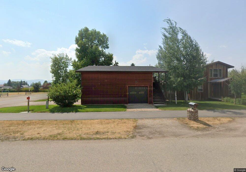
80 S 2nd E Unit 4 Driggs, ID 83422
Estimated Value: $673,000 - $1,106,000
2
Beds
2
Baths
896
Sq Ft
$1,004/Sq Ft
Est. Value
About This Home
This home is located at 80 S 2nd E Unit 4, Driggs, ID 83422 and is currently estimated at $899,999, approximately $1,004 per square foot. 80 S 2nd E Unit 4 is a home located in Teton County with nearby schools including Driggs Elementary School, Teton High School, and The Learning Academy Of Teton Valley.
Ownership History
Date
Name
Owned For
Owner Type
Purchase Details
Closed on
Aug 28, 2017
Sold by
Brendon Kevin R
Bought by
Heatherton Christopher Ambrose and Heatherton Amle Mae
Current Estimated Value
Home Financials for this Owner
Home Financials are based on the most recent Mortgage that was taken out on this home.
Original Mortgage
$372,000
Outstanding Balance
$310,813
Interest Rate
3.92%
Mortgage Type
New Conventional
Estimated Equity
$589,186
Create a Home Valuation Report for This Property
The Home Valuation Report is an in-depth analysis detailing your home's value as well as a comparison with similar homes in the area
Home Values in the Area
Average Home Value in this Area
Purchase History
| Date | Buyer | Sale Price | Title Company |
|---|---|---|---|
| Heatherton Christopher Ambrose | -- | First American Title Driggs |
Source: Public Records
Mortgage History
| Date | Status | Borrower | Loan Amount |
|---|---|---|---|
| Open | Heatherton Christopher Ambrose | $372,000 |
Source: Public Records
Tax History
| Year | Tax Paid | Tax Assessment Tax Assessment Total Assessment is a certain percentage of the fair market value that is determined by local assessors to be the total taxable value of land and additions on the property. | Land | Improvement |
|---|---|---|---|---|
| 2025 | $3,848 | $894,763 | $119,364 | $775,399 |
| 2024 | $3,827 | $879,416 | $104,017 | $775,399 |
| 2023 | $3,827 | $877,711 | $102,312 | $775,399 |
| 2022 | $3,968 | $744,296 | $80,997 | $663,299 |
| 2021 | $4,485 | $522,450 | $59,682 | $462,768 |
| 2020 | $4,374 | $416,878 | $45,955 | $370,923 |
| 2019 | $3,662 | $350,455 | $45,987 | $304,468 |
| 2018 | $3,584 | $317,300 | $41,807 | $275,493 |
| 2017 | $2,014 | $277,378 | $35,834 | $241,544 |
| 2016 | $1,834 | $241,502 | $31,995 | $209,507 |
| 2015 | $1,750 | $203,132 | $20,889 | $182,243 |
| 2011 | -- | $129,581 | $19,695 | $109,886 |
Source: Public Records
Map
Nearby Homes
- 290 N 1st E
- 70 Baywood Dr
- 135 Baywood Dr
- 110 Sagewood Dr
- 135 Sagewood Dr
- TBD S Hwy 33
- 570 Easy St
- 201 E Ross Ave Unit B103
- 201 E Ross Ave Unit A103
- 424 Clubmoss Ln
- 525 N First St Unit F102
- 525 N First St Unit F204
- 525 N First St Unit B203
- 525 N First St Unit G103
- 525 N First St Unit B102
- 525 N First St Unit B101
- 525 N First St Unit B104
- 525 N First St Unit F101
- 525 N First St Unit F104
- 525 N First St Unit F201
- 80 S 2nd E
- 185 E Fremont Ave
- 60 S 2nd E
- 70 S Second St
- 85 S 2nd St
- TBD E Fremont Ave
- 65 S 2nd E
- TBD 2nd St
- 225 E Fremont Ave
- 152 E Little Ave
- 152 E Little Ave
- 75 S 1st E
- 140 E Fremont Ave
- 210 E Little Ave
- 180 E Little Ave
- 55 S 1st St E
- Lot H-3 Fly-In Pkwy
- #8LOT Fly-In Pkwy
- LT5-LT6W Fly-In Pkwy
- 267 E Fremont Ave
Your Personal Tour Guide
Ask me questions while you tour the home.