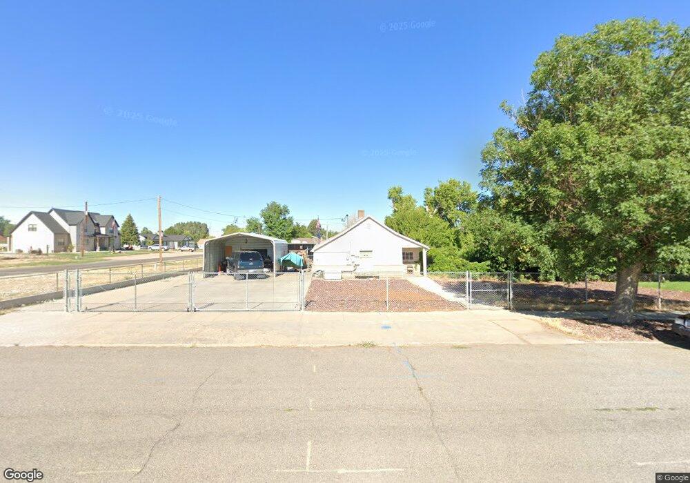
80 S Main St Kanosh, UT 84637
Estimated Value: $151,288 - $349,000
Studio
--
Bath
--
Sq Ft
19,602
Sq Ft Lot
About This Home
This home is located at 80 S Main St, Kanosh, UT 84637 and is currently estimated at $278,096. 80 S Main St is a home.
Ownership History
Date
Name
Owned For
Owner Type
Purchase Details
Closed on
Dec 9, 2021
Sold by
Crosby Scott L
Bought by
Crosby Charles L
Current Estimated Value
Home Financials for this Owner
Home Financials are based on the most recent Mortgage that was taken out on this home.
Original Mortgage
$120,000
Interest Rate
3.14%
Mortgage Type
New Conventional
Purchase Details
Closed on
Nov 8, 2021
Sold by
Crosby Charles L and P Cros By Lu Dean
Bought by
Lovato Timothy J
Home Financials for this Owner
Home Financials are based on the most recent Mortgage that was taken out on this home.
Original Mortgage
$120,000
Interest Rate
3.14%
Mortgage Type
New Conventional
Create a Home Valuation Report for This Property
The Home Valuation Report is an in-depth analysis detailing your home's value as well as a comparison with similar homes in the area
Purchase History
| Date | Buyer | Sale Price | Title Company |
|---|---|---|---|
| Crosby Charles L | -- | -- | |
| Lovato Timothy J | -- | None Available |
Source: Public Records
Mortgage History
| Date | Status | Borrower | Loan Amount |
|---|---|---|---|
| Previous Owner | Lovato Timothy J | $120,000 |
Source: Public Records
Tax History
| Year | Tax Paid | Tax Assessment Tax Assessment Total Assessment is a certain percentage of the fair market value that is determined by local assessors to be the total taxable value of land and additions on the property. | Land | Improvement |
|---|---|---|---|---|
| 2025 | $621 | $81,301 | $30,297 | $51,004 |
| 2024 | $621 | $73,243 | $15,642 | $57,601 |
| 2023 | $770 | $73,243 | $15,642 | $57,601 |
| 2022 | $451 | $42,321 | $12,514 | $29,807 |
| 2021 | $417 | $37,782 | $10,881 | $26,901 |
| 2020 | $364 | $33,298 | $9,892 | $23,406 |
| 2019 | $329 | $30,257 | $9,075 | $21,182 |
| 2018 | $312 | $29,432 | $8,250 | $21,182 |
| 2017 | $326 | $29,432 | $8,250 | $21,182 |
| 2016 | $407 | $38,321 | $5,250 | $33,071 |
| 2015 | $408 | $38,321 | $5,250 | $33,071 |
| 2014 | -- | $38,321 | $5,250 | $33,071 |
| 2013 | -- | $38,321 | $5,250 | $33,071 |
Source: Public Records
Map
Nearby Homes
- 115 W 200 S
- 58 E 300 South St
- 135 E 200 N
- 73 E 700 S
- 0 County Road 4616
- Parcel # 8816
- 145 N 200 E
- 80 W 470 N
- 50 N 100 Rd E
- 479 E 100 N
- 1565 W Sunflower Ln Unit 3
- 1615 W Sunflower Ln
- 1615 W Sunflower Ln Unit 4
- 1565 W Sunflower Ln
- 2000 N West Frontage I-15
- 1100 S 725 Rd W
- 310 S 500 West Rd
- 465 S 100 W
- 760 E 700 St S
- 155 E 500 St S
Your Personal Tour Guide
Ask me questions while you tour the home.