80 Shadow Farm Way Unit 7 South Kingstown, RI 02879
Estimated Value: $892,000 - $973,000
2
Beds
2
Baths
2,300
Sq Ft
$397/Sq Ft
Est. Value
About This Home
This home is located at 80 Shadow Farm Way Unit 7, South Kingstown, RI 02879 and is currently estimated at $913,255, approximately $397 per square foot. 80 Shadow Farm Way Unit 7 is a home located in Washington County with nearby schools including South Kingstown High School and Monsignor Matthew Clarke Catholic Regional School.
Ownership History
Date
Name
Owned For
Owner Type
Purchase Details
Closed on
Nov 2, 2021
Sold by
John J Menihan Jr T
Bought by
Gilbert Jeffrey and Gilbert Miki
Current Estimated Value
Purchase Details
Closed on
Oct 15, 2015
Sold by
Menihan John J and Menihan Cydney A
Bought by
Menihan Cydney A
Purchase Details
Closed on
Aug 24, 2015
Sold by
Meniham John J
Bought by
Menihan John J and Menihan Cydney A
Purchase Details
Closed on
Jan 27, 2005
Sold by
Bray Mary D
Bought by
Menihan John J and Menihan Cydney Aerait
Home Financials for this Owner
Home Financials are based on the most recent Mortgage that was taken out on this home.
Original Mortgage
$359,650
Interest Rate
5.67%
Mortgage Type
Purchase Money Mortgage
Create a Home Valuation Report for This Property
The Home Valuation Report is an in-depth analysis detailing your home's value as well as a comparison with similar homes in the area
Home Values in the Area
Average Home Value in this Area
Purchase History
| Date | Buyer | Sale Price | Title Company |
|---|---|---|---|
| Gilbert Jeffrey | $655,000 | None Available | |
| Menihan Cydney A | -- | -- | |
| Menihan John J | -- | -- | |
| Menihan John J | -- | -- | |
| Menihan John J | $450,000 | -- |
Source: Public Records
Mortgage History
| Date | Status | Borrower | Loan Amount |
|---|---|---|---|
| Previous Owner | Menihan John J | $359,650 |
Source: Public Records
Tax History Compared to Growth
Tax History
| Year | Tax Paid | Tax Assessment Tax Assessment Total Assessment is a certain percentage of the fair market value that is determined by local assessors to be the total taxable value of land and additions on the property. | Land | Improvement |
|---|---|---|---|---|
| 2025 | $7,631 | $853,600 | $0 | $853,600 |
| 2024 | $6,875 | $622,200 | $0 | $622,200 |
| 2023 | $6,875 | $622,200 | $0 | $622,200 |
| 2022 | $7,111 | $649,400 | $0 | $649,400 |
| 2021 | $6,965 | $482,000 | $0 | $482,000 |
| 2020 | $6,965 | $482,000 | $0 | $482,000 |
| 2019 | $6,965 | $482,000 | $0 | $482,000 |
| 2018 | $5,783 | $368,800 | $0 | $368,800 |
| 2017 | $5,646 | $368,800 | $0 | $368,800 |
| 2016 | $5,565 | $368,800 | $0 | $368,800 |
| 2015 | $5,143 | $331,400 | $0 | $331,400 |
| 2014 | $5,130 | $331,400 | $0 | $331,400 |
Source: Public Records
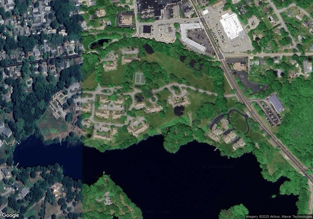
Map
Nearby Homes
- 39 Hazard Ave
- 45 Cherry Ln Unit C
- 98 Meadow Ave
- 10 Hendricks St
- 37 Columbia St
- 156 River St Unit B
- 30 Sweet Meadows Ct Unit 26
- 31 Winter St
- 40 Amos St
- 128 Camden Ct
- 48 Stone Bridge Dr
- 70 Broad Rock Rd
- 73 Camden Ct
- 3 Larkin St
- 23 Rockland Dr
- 35 Whittier Dr
- 37 Whittier Dr
- 128 Rodman St
- 128 North Rd
- 137 Kingstown Rd
- 80 Shadow Farm Way Unit 11
- 80 Shadow Farm Way Unit 6
- 80 Shadow Farm Way Unit 10
- 25 Shadow Farm Way
- 24 Shadow Farm Way
- 29 Shadow Farm Way
- 29 Shadow Farm Way Unit 9
- 30 Shadow Farm Way
- 31 Shadow Farm Way
- 28 Shadow Farm Way
- 35 Shadow Farm Way
- 110 Shadow Farm Way Unit 40
- 110 Shadow Farm Way Unit 36
- 27 Shadow Farm Way
- 130 Shadow Farm Way Unit 28
- 26 Shadow Farm Way
- 18 Shadow Farm Way
- 17 Shadow Farm Way
- 17 Shadow Farm Way Unit 17
- 34 Shadow Farm Way