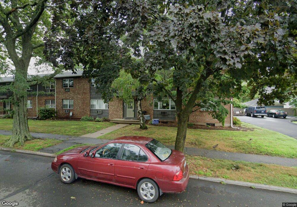
80 Silliman St Unit 10 Fairfield, CT 06824
University NeighborhoodEstimated Value: $321,143 - $446,000
2
Beds
1
Bath
910
Sq Ft
$396/Sq Ft
Est. Value
About This Home
This home is located at 80 Silliman St Unit 10, Fairfield, CT 06824 and is currently estimated at $360,786, approximately $396 per square foot. 80 Silliman St Unit 10 is a home located in Fairfield County with nearby schools including Holland Hill Elementary, Fairfield Woods Middle School, and Fairfield Ludlowe High School.
Ownership History
Date
Name
Owned For
Owner Type
Purchase Details
Closed on
Jul 12, 2007
Sold by
Micha Charles
Bought by
Pecka Colleen
Current Estimated Value
Home Financials for this Owner
Home Financials are based on the most recent Mortgage that was taken out on this home.
Original Mortgage
$192,558
Interest Rate
6.48%
Create a Home Valuation Report for This Property
The Home Valuation Report is an in-depth analysis detailing your home's value as well as a comparison with similar homes in the area
Home Values in the Area
Average Home Value in this Area
Purchase History
| Date | Buyer | Sale Price | Title Company |
|---|---|---|---|
| Pecka Colleen | $242,000 | -- | |
| Pecka Colleen | $242,000 | -- |
Source: Public Records
Mortgage History
| Date | Status | Borrower | Loan Amount |
|---|---|---|---|
| Open | Pecka Colleen | $196,200 | |
| Closed | Pecka Colleen | $192,558 | |
| Closed | Pecka Colleen | $25,000 |
Source: Public Records
Tax History Compared to Growth
Tax History
| Year | Tax Paid | Tax Assessment Tax Assessment Total Assessment is a certain percentage of the fair market value that is determined by local assessors to be the total taxable value of land and additions on the property. | Land | Improvement |
|---|---|---|---|---|
| 2025 | $3,657 | $128,800 | $0 | $128,800 |
| 2024 | $3,594 | $128,800 | $0 | $128,800 |
| 2023 | $3,543 | $128,800 | $0 | $128,800 |
| 2022 | $3,509 | $128,800 | $0 | $128,800 |
| 2021 | $3,475 | $128,800 | $0 | $128,800 |
| 2020 | $3,655 | $136,430 | $0 | $136,430 |
| 2019 | $3,655 | $136,430 | $0 | $136,430 |
| 2018 | $3,596 | $136,430 | $0 | $136,430 |
| 2017 | $3,523 | $136,430 | $0 | $136,430 |
| 2016 | $3,472 | $136,430 | $0 | $136,430 |
| 2015 | $3,337 | $134,610 | $0 | $134,610 |
| 2014 | $3,284 | $134,610 | $0 | $134,610 |
Source: Public Records
Map
Nearby Homes
- 633 Black Rock Turnpike
- 378 Castle Ave
- 270 Andrassy Ave
- 221 Hunyadi Ave
- 89 Grace St
- 162 Country Rd Unit 162
- 145 Brentwood Ave
- 309 Hunyadi Ave
- 130 Brentwood Ave
- 118 Berwick Ave
- 25 Country Rd
- 274 High St
- 1335 Black Rock Turnpike
- 108 Roseville St
- 101 Soundview Ave
- 109 Jeniford Rd
- 62 Soundview Ave
- 180 Oakwood Dr
- 140 Tunxis Hill Cut Off
- 709 Tunxis Hill Rd
- 80 Silliman St Unit 9
- 80 Silliman St Unit 12
- 80 Silliman St Unit 11
- 80 Silliman St Unit 6B
- 80 Silliman St
- 80 Silliman St Unit 6A
- 80 Silliman St Unit 5A
- 80 Silliman St Unit 5B
- 80 Silliman St Unit 6B
- 90 Silliman St Unit 4B
- 90 Silliman St Unit 8
- 90 Silliman St Unit 7
- 90 Silliman St Unit 6
- 90 Silliman St Unit 5
- 90 Silliman St Unit 3A
- 89 Silliman St
- 100 Silliman St Unit 4
- 100 Silliman St Unit 3
- 100 Silliman St Unit 2
- 100 Silliman St Unit 1