80 Sims Path Rockmart, GA 30153
Estimated Value: $328,509 - $640,000
3
Beds
2
Baths
1,680
Sq Ft
$258/Sq Ft
Est. Value
About This Home
This home is located at 80 Sims Path, Rockmart, GA 30153 and is currently estimated at $432,627, approximately $257 per square foot. 80 Sims Path is a home located in Haralson County with nearby schools including Haralson County High School.
Ownership History
Date
Name
Owned For
Owner Type
Purchase Details
Closed on
May 16, 2005
Sold by
Sims Randall R
Bought by
Jett Russell C and Jett Robin R
Current Estimated Value
Home Financials for this Owner
Home Financials are based on the most recent Mortgage that was taken out on this home.
Original Mortgage
$216,000
Outstanding Balance
$112,334
Interest Rate
5.8%
Mortgage Type
New Conventional
Estimated Equity
$320,293
Purchase Details
Closed on
Sep 10, 1999
Sold by
Sims Ralph Nj
Bought by
Sims Randall R
Create a Home Valuation Report for This Property
The Home Valuation Report is an in-depth analysis detailing your home's value as well as a comparison with similar homes in the area
Home Values in the Area
Average Home Value in this Area
Purchase History
| Date | Buyer | Sale Price | Title Company |
|---|---|---|---|
| Jett Russell C | $270,000 | -- | |
| Sims Randall R | -- | -- |
Source: Public Records
Mortgage History
| Date | Status | Borrower | Loan Amount |
|---|---|---|---|
| Open | Jett Russell C | $216,000 | |
| Closed | Jett Russell C | $27,000 |
Source: Public Records
Tax History Compared to Growth
Tax History
| Year | Tax Paid | Tax Assessment Tax Assessment Total Assessment is a certain percentage of the fair market value that is determined by local assessors to be the total taxable value of land and additions on the property. | Land | Improvement |
|---|---|---|---|---|
| 2024 | $1,947 | $77,081 | $11,563 | $65,518 |
| 2023 | $2,097 | $80,212 | $10,640 | $69,572 |
| 2022 | $1,777 | $68,278 | $10,640 | $57,638 |
| 2021 | $1,791 | $66,130 | $10,640 | $55,490 |
| 2020 | $1,819 | $66,814 | $10,640 | $56,174 |
| 2019 | $1,779 | $63,040 | $10,640 | $52,400 |
| 2018 | $1,804 | $63,040 | $10,640 | $52,400 |
| 2017 | $1,691 | $53,985 | $10,640 | $43,345 |
| 2016 | $1,427 | $48,579 | $11,231 | $37,348 |
| 2015 | $1,431 | $48,685 | $11,231 | $37,454 |
| 2014 | $1,438 | $49,655 | $11,231 | $38,424 |
Source: Public Records
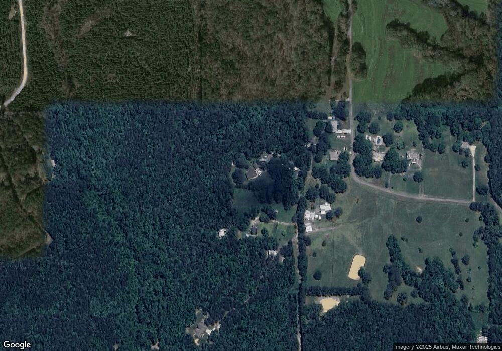
Map
Nearby Homes
- 3639 Holly Springs Rd
- 53 Adams Ln
- 174 Randall Dr
- 298 Randall Dr
- 96 Southern Trace Dr
- 79 Southern Trace Dr
- 440 Prometheous Way
- 256 Prometheous Way
- 69 Southern Trace Way
- 96 Southern Trace Way
- 412 Southern Trace Dr
- 280 Carthage Blvd
- 572 Southern Trace Dr
- 318 Thorn Thicket Dr
- 117 Wallace Way
- 39 Rosemary Path
- 169 Winding Valley Dr
- 110 Conifer Ln
- 3462 Vinson Mountain Rd
- 74 Sims Path
- 0 Sims Path
- 120 Sims Path
- 50 Sims Path
- 662 Garner Rd
- 620 Garner Rd
- 689 Garner Rd
- 749 Garner Rd
- 3403 Coalson Corner Rd
- 791 Garner Rd
- 0 Garner Rd Unit 3198968
- 0 Garner Rd
- 250 Sims Path
- 369 Marks Rd
- 3427 Coalson Corner Rd
- 130 Sims Path
- 3451 Coalson Corner Rd
- 375 Marks Rd
- 3423 Coalson Corner Rd
- 219 Marks Rd