
80 Taft Ave Unit 18 Bridgeport, CT 06606
Brooklawn-Saint Vincent Neighborhood
1
Bed
1
Bath
645
Sq Ft
0.3
Acres
Highlights
- Beach Access
- Hot Water Circulator
- Hot Water Heating System
- 0.3 Acre Lot
About This Home
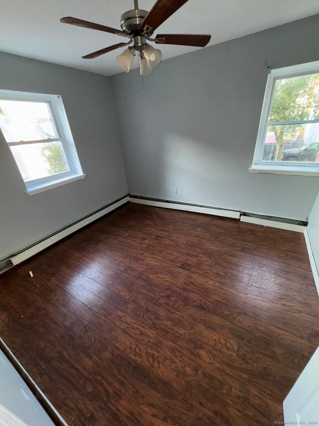
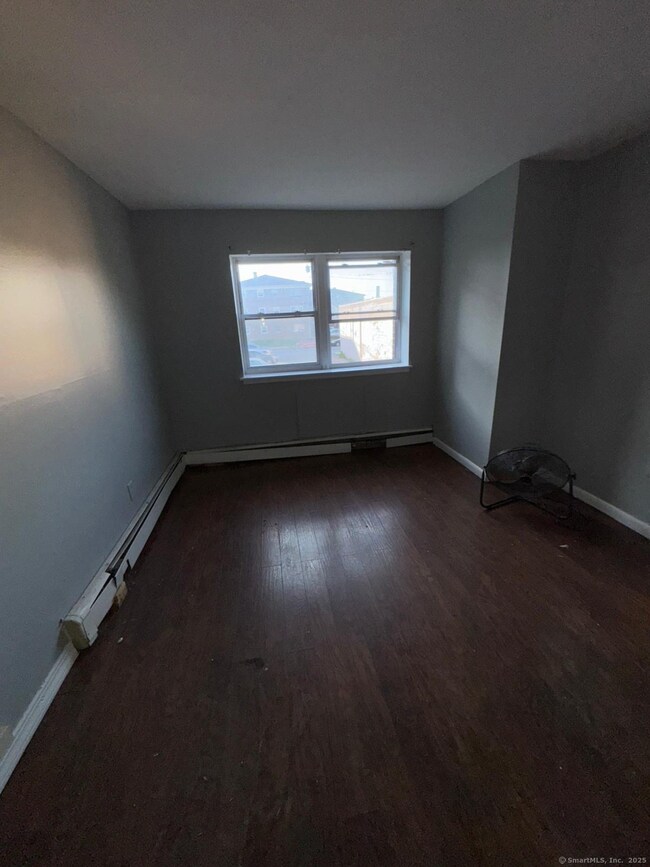
Great one bedroom apartment clean and bright.
Property Details
Home Type
- Apartment
Est. Annual Taxes
- $1,294
Year Built
- Built in 1971
Home Design
- 645 Sq Ft Home
Bedrooms and Bathrooms
- 1 Bedroom
- 1 Full Bathroom
Utilities
- Hot Water Heating System
- Hot Water Circulator
Additional Features
- Gas Range
- Beach Access
- 0.3 Acre Lot
Community Details
- No Pets Allowed
Listing and Financial Details
- Assessor Parcel Number 23238
Map
About the Listing Agent
Lisa Nussbaum is a real estate broker with Top Tier Realty Group, serving Bridgeport, CT and nearby areas. She works with tenants, buyers, landlords, and sellers, offering responsive service and clear communication. Lisa focuses on understanding client needs and delivering results, whether helping find the right home or marketing a property to sell or rent.
Lisa's Other Listings
Source: SmartMLS
MLS Number: 24118161
APN: BRID-001435-000004A-000018
Disclaimer: Certain information contained herein is derived from information provided by parties other than Homes.com. All information provided is deemed reliable, but is not guaranteed to be accurate and should be independently verified.
![]() IDX information is provided exclusively for personal, non-commercial use, and may not be used for any purpose other than to identify prospective properties consumers may be interested in purchasing. Information is deemed reliable but not guaranteed.
IDX information is provided exclusively for personal, non-commercial use, and may not be used for any purpose other than to identify prospective properties consumers may be interested in purchasing. Information is deemed reliable but not guaranteed.
Nearby Homes
- 31 Taft Ave
- 390 Charles St Unit 106
- 356 Taft Ave
- 78 Fairmount Ave
- 90 Tom Thumb St
- 724 Capitol Ave Unit 726
- 1275 Capitol Ave
- 191 Oak St
- 119 Madison Terrace
- 100 Lorraine St
- 2345 Park Ave
- 201 High Ridge Dr
- 2395 Main St Unit 2397
- 318 Center St
- 76 Porter St
- 2445 Park Ave Unit 23
- 1480 Capitol Ave Unit 811
- 125 Alexander Dr
- 150 Alexander Dr
- 665 W Taft Ave