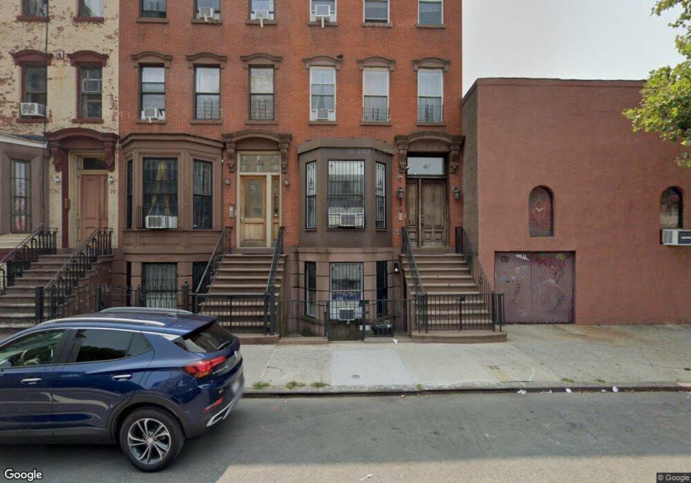
80 W 132nd St New York, NY 10037
Central Harlem NeighborhoodEstimated Value: $1,621,500
Studio
--
Bath
3,888
Sq Ft
$417/Sq Ft
Est. Value
About This Home
This home is located at 80 W 132nd St, New York, NY 10037 and is currently priced at $1,621,500, approximately $417 per square foot. 80 W 132nd St is a home located in New York County with nearby schools including Ps 175 Henry H Garnet, Urban Assembly Academy for Future Leaders, and Capital Preparatory Harlem Charter School.
Ownership History
Date
Name
Owned For
Owner Type
Purchase Details
Closed on
May 6, 2005
Sold by
Classic Townhouses Llc
Bought by
Foy Katina
Current Estimated Value
Home Financials for this Owner
Home Financials are based on the most recent Mortgage that was taken out on this home.
Original Mortgage
$133,000
Outstanding Balance
$69,836
Interest Rate
5.95%
Create a Home Valuation Report for This Property
The Home Valuation Report is an in-depth analysis detailing your home's value as well as a comparison with similar homes in the area
Home Values in the Area
Average Home Value in this Area
Purchase History
| Date | Buyer | Sale Price | Title Company |
|---|---|---|---|
| Foy Katina | $506,989 | -- | |
| Foy Katina | $506,989 | -- |
Source: Public Records
Mortgage History
| Date | Status | Borrower | Loan Amount |
|---|---|---|---|
| Open | Foy Katina | $133,000 | |
| Closed | Foy Katina | $133,000 | |
| Open | Foy Katina | $460,739 | |
| Closed | Foy Katina | $460,739 |
Source: Public Records
Tax History
| Year | Tax Paid | Tax Assessment Tax Assessment Total Assessment is a certain percentage of the fair market value that is determined by local assessors to be the total taxable value of land and additions on the property. | Land | Improvement |
|---|---|---|---|---|
| 2025 | $11,351 | $62,663 | $12,934 | $49,729 |
| 2024 | $11,351 | $62,663 | $32,100 | $48,612 |
| 2023 | $10,496 | $62,190 | $15,490 | $46,700 |
| 2022 | $8,883 | $124,980 | $32,100 | $92,880 |
| 2021 | $7,897 | $134,280 | $32,100 | $102,180 |
| 2020 | $6,513 | $152,940 | $32,100 | $120,840 |
| 2019 | $5,880 | $126,060 | $32,100 | $93,960 |
| 2018 | $4,866 | $51,825 | $12,824 | $39,001 |
| 2017 | $4,113 | $48,892 | $13,680 | $35,212 |
| 2016 | $3,488 | $46,126 | $14,830 | $31,296 |
| 2015 | $1,560 | $43,516 | $13,025 | $30,491 |
| 2014 | $1,560 | $43,516 | $14,387 | $29,129 |
Source: Public Records
Map
Nearby Homes
- 430 Lenox Ave Unit 1
- 420 Lenox Ave
- 107 W 131st St
- 51 W 131st St Unit 4-A
- 106 W 131st St
- 129 W 131st St Unit 1
- 124 W 131st St
- 380 Lenox Ave Unit 9G
- 380 Lenox Ave
- 380 Lenox Ave Unit PHE
- 380 Malcolm x Blvd Unit 7J
- 7 W 131st St Unit A2
- 11 W 131st St Unit C1
- 152 W 131st St Unit 1
- 60 W 129th St Unit 409
- 370 Lenox Ave Unit 608
- 370 Lenox Ave Unit 403
- 370 Lenox Ave Unit 606
- 370 Lenox Ave Unit 203
- 370 Lenox Ave Unit 603
- 80 W 132nd St Unit 3
- 80 W 132nd St Unit 2
- 78 W 132nd St
- 78 W 132nd St Unit Building
- 78 W 132nd St Unit 1
- 76 W 132nd St
- 440-442 Malcolm x Blvd
- 74 W 132nd St
- 72 W 132nd St
- 436 Malcolm x Blvd
- 434 Lenox Ave Unit 3
- 434 Lenox Ave Unit 1
- 434 Lenox Ave Unit 4TH FLOOR
- 434 Lenox Ave Unit 3RD FLOOR
- 434 Lenox Ave Unit LIVE/WORK LOFT
- 436 Lenox Ave
- 436 Lenox Ave Unit 2
- 434 Malcolm x Blvd
- 432 Malcolm x Blvd
- 70 W 132nd St
Your Personal Tour Guide
Ask me questions while you tour the home.