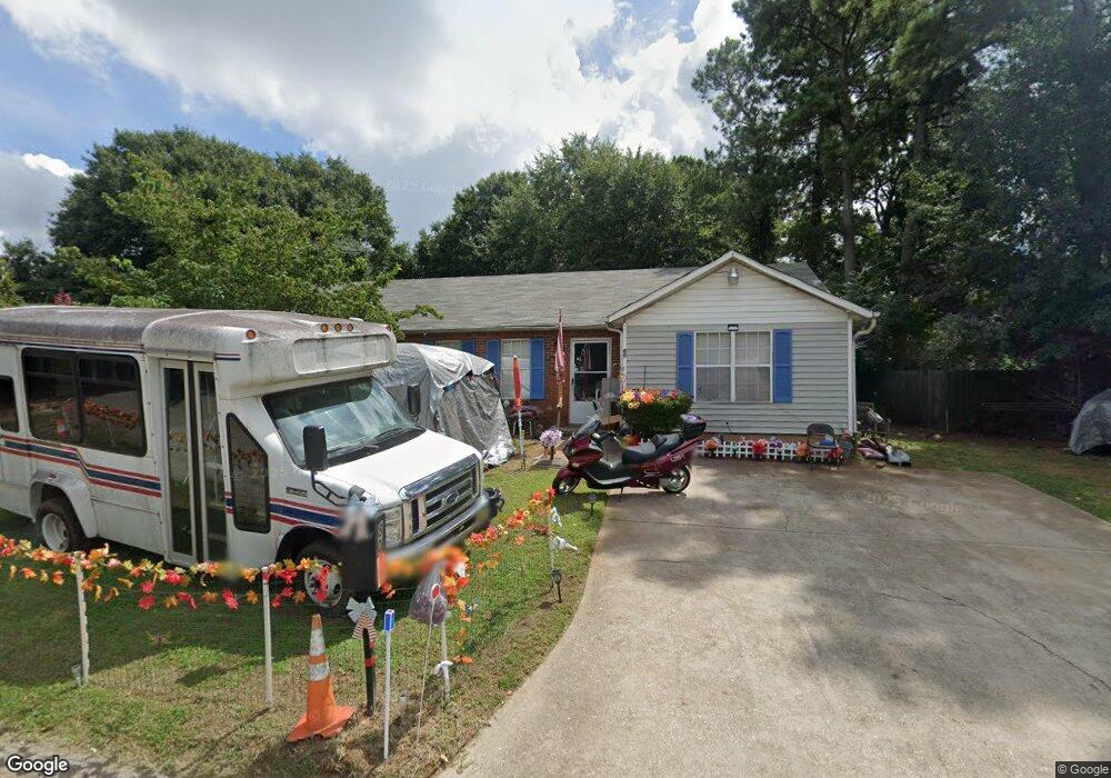
80 W Independence Cir McDonough, GA 30253
Estimated Value: $199,000 - $211,461
3
Beds
2
Baths
1,386
Sq Ft
$147/Sq Ft
Est. Value
About This Home
This home is located at 80 W Independence Cir, McDonough, GA 30253 and is currently estimated at $203,615, approximately $146 per square foot. 80 W Independence Cir is a home located in Henry County with nearby schools including Oakland Elementary School, Eagle's Landing Middle School, and Eagle's Landing High School.
Ownership History
Date
Name
Owned For
Owner Type
Purchase Details
Closed on
Feb 24, 2005
Sold by
Bevil Treva
Bought by
Glover Benita Y
Current Estimated Value
Home Financials for this Owner
Home Financials are based on the most recent Mortgage that was taken out on this home.
Original Mortgage
$16,800
Outstanding Balance
$8,455
Interest Rate
5.6%
Mortgage Type
Unknown
Estimated Equity
$195,160
Purchase Details
Closed on
Mar 27, 1996
Sold by
Bowen Bowen Const
Bought by
Beril Treva
Create a Home Valuation Report for This Property
The Home Valuation Report is an in-depth analysis detailing your home's value as well as a comparison with similar homes in the area
Home Values in the Area
Average Home Value in this Area
Purchase History
| Date | Buyer | Sale Price | Title Company |
|---|---|---|---|
| Glover Benita Y | $84,000 | -- | |
| Beril Treva | $20,966 | -- |
Source: Public Records
Mortgage History
| Date | Status | Borrower | Loan Amount |
|---|---|---|---|
| Open | Glover Benita Y | $16,800 | |
| Open | Glover Benita Y | $67,200 | |
| Closed | Beril Treva | $0 |
Source: Public Records
Tax History Compared to Growth
Tax History
| Year | Tax Paid | Tax Assessment Tax Assessment Total Assessment is a certain percentage of the fair market value that is determined by local assessors to be the total taxable value of land and additions on the property. | Land | Improvement |
|---|---|---|---|---|
| 2025 | $2,333 | $84,680 | $12,000 | $72,680 |
| 2024 | $2,333 | $73,600 | $8,000 | $65,600 |
| 2023 | $1,527 | $68,520 | $6,000 | $62,520 |
| 2022 | $1,675 | $53,440 | $6,000 | $47,440 |
| 2021 | $1,404 | $41,960 | $6,000 | $35,960 |
| 2020 | $1,323 | $38,880 | $6,000 | $32,880 |
| 2019 | $988 | $30,160 | $4,000 | $26,160 |
| 2018 | $847 | $26,480 | $4,000 | $22,480 |
| 2016 | $784 | $24,840 | $4,000 | $20,840 |
| 2015 | $719 | $22,880 | $4,000 | $18,880 |
| 2014 | $463 | $17,200 | $4,000 | $13,200 |
Source: Public Records
Map
Nearby Homes
- 50 Silver Tip Ct
- 300 Ashton Place
- 401 Bainbridge Dr
- 715 Quail Cir
- 235 London Dr
- 161 Swindon Dr
- 645 Stadler Pointe Unit 75
- 0 0 Unit 7692876
- 0 0 Unit 10658203
- 150 Spyglass Cir
- Aster Plan at Kendall Grove - Single Family Homes
- Splendor Plan at Kendall Grove - Single Family Homes
- Radiance Plan at Kendall Grove - Single Family Homes
- Echo Plan at Kendall Grove - Townhomes
- Beacon Plan at Kendall Grove - Single Family Homes
- Triton Plan at Kendall Grove - Townhomes
- Spectra Plan at Kendall Grove - Single Family Homes
- 3324 Baylor Cir
- 1224 Fagiolo St
- 1237 Fagiolo St
- 90 W Independence Cir
- 70 W Independence Cir
- 135 Greenview Terrace
- 100 W Independence Cir
- 125 Greenview Terrace
- 105 Greenview Dr
- 115 Greenview Dr
- 60 W Independence Cir
- 15 Birch Ct
- 4 Birch Ct
- 125 Greenview Dr
- 145 Greenview Terrace
- 116 Sherwood Loop
- 118 Sherwood Loop
- 16 Birch Ct
- 120 Sherwood Loop
- 55 W Independence Cir
- 7 Sherwood Loop
- 50 W Independence Cir
- 130 Sherwood Loop Unit 50