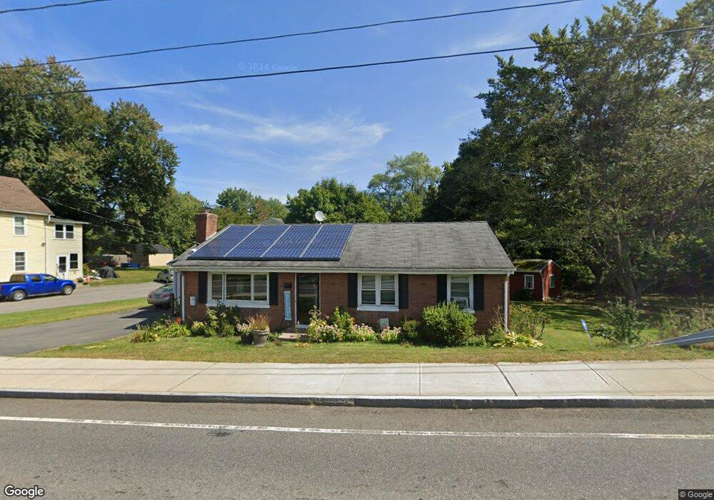
80 West St Middletown, CT 06457
Estimated Value: $299,000 - $328,670
3
Beds
1
Bath
1,176
Sq Ft
$270/Sq Ft
Est. Value
About This Home
This home is located at 80 West St, Middletown, CT 06457 and is currently estimated at $317,168, approximately $269 per square foot. 80 West St is a home located in Middlesex County with nearby schools including Wilbert Snow Elementary School, St John Paul II School, and Mercy High School.
Ownership History
Date
Name
Owned For
Owner Type
Purchase Details
Closed on
Nov 23, 2009
Sold by
Cumming Stephen W and Cumming Jennifer S
Bought by
Jackson Bonnie G
Current Estimated Value
Home Financials for this Owner
Home Financials are based on the most recent Mortgage that was taken out on this home.
Original Mortgage
$135,000
Outstanding Balance
$87,158
Interest Rate
4.86%
Estimated Equity
$230,010
Purchase Details
Closed on
Jul 27, 2007
Sold by
Regish Paul A
Bought by
Cumming Stephen W and Cumming Jennifer S
Home Financials for this Owner
Home Financials are based on the most recent Mortgage that was taken out on this home.
Original Mortgage
$155,200
Interest Rate
6.78%
Purchase Details
Closed on
May 26, 2004
Sold by
Fish Alan H
Bought by
Regish Paul A
Purchase Details
Closed on
Dec 18, 2001
Sold by
Satagaj Jane
Bought by
Fish Alan H
Create a Home Valuation Report for This Property
The Home Valuation Report is an in-depth analysis detailing your home's value as well as a comparison with similar homes in the area
Home Values in the Area
Average Home Value in this Area
Purchase History
| Date | Buyer | Sale Price | Title Company |
|---|---|---|---|
| Jackson Bonnie G | $170,000 | -- | |
| Cumming Stephen W | $194,000 | -- | |
| Regish Paul A | $170,000 | -- | |
| Fish Alan H | $145,000 | -- |
Source: Public Records
Mortgage History
| Date | Status | Borrower | Loan Amount |
|---|---|---|---|
| Closed | Fish Alan H | $6,000 | |
| Open | Fish Alan H | $135,000 | |
| Previous Owner | Fish Alan H | $155,200 |
Source: Public Records
Tax History Compared to Growth
Tax History
| Year | Tax Paid | Tax Assessment Tax Assessment Total Assessment is a certain percentage of the fair market value that is determined by local assessors to be the total taxable value of land and additions on the property. | Land | Improvement |
|---|---|---|---|---|
| 2025 | $6,463 | $166,150 | $61,650 | $104,500 |
| 2024 | $6,114 | $166,150 | $61,650 | $104,500 |
| 2023 | $5,832 | $166,150 | $61,650 | $104,500 |
| 2022 | $4,667 | $106,060 | $27,400 | $78,660 |
| 2021 | $4,667 | $106,060 | $27,400 | $78,660 |
| 2020 | $4,688 | $106,060 | $27,400 | $78,660 |
| 2019 | $5,832 | $106,060 | $27,400 | $78,660 |
| 2018 | $4,635 | $106,060 | $27,400 | $78,660 |
| 2017 | $5,688 | $108,440 | $38,920 | $69,520 |
| 2016 | $4,468 | $108,440 | $38,920 | $69,520 |
| 2015 | $4,294 | $108,440 | $38,920 | $69,520 |
| 2014 | $4,338 | $108,440 | $38,920 | $69,520 |
Source: Public Records
Map
Nearby Homes
- 27 Barbara Rd
- 60 Old Mill Rd
- 160 Boston Rd
- 81 Aresco Dr
- 18 Phedon Pkwy
- 1 Nathan Hale Rd
- 2 Nathan Hale Rd
- 4 Nathan Hale Rd
- 3 Nathan Hale Rd
- 237 Boston Rd
- 31 Broadview Pkwy
- 574 Butternut St
- 40 Batt St
- 84 Camp St
- 136 Westfield St
- 17 Mckenna Dr
- 82 Westfield Terrace
- 20 Prospect St
- 59 Westfield Terrace
- 175 Lincoln St