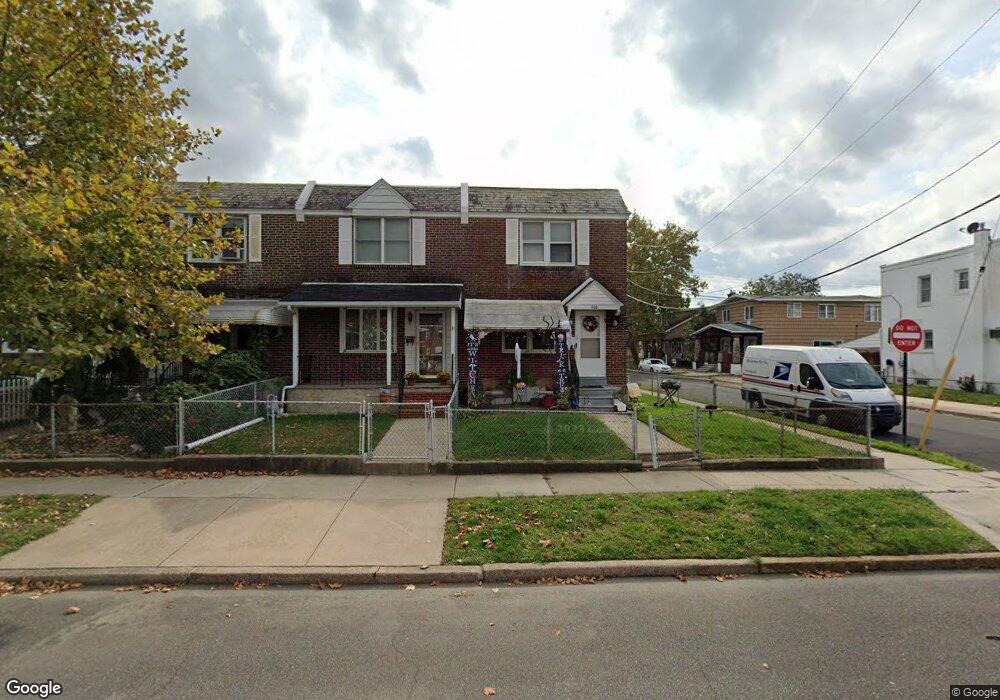
800 2nd Ave Bristol, PA 19007
Estimated Value: $266,208 - $293,000
--
Bed
1
Bath
1,088
Sq Ft
$253/Sq Ft
Est. Value
About This Home
This home is located at 800 2nd Ave, Bristol, PA 19007 and is currently estimated at $275,052, approximately $252 per square foot. 800 2nd Ave is a home located in Bucks County with nearby schools including Snyder-Girotti Elementary School, Bristol High School, and St. Mark Elementary School.
Ownership History
Date
Name
Owned For
Owner Type
Purchase Details
Closed on
Jul 28, 2006
Sold by
Whyno Hultine Renee L and Whyno Renee L
Bought by
Whyno Hultine Renee L and Hultine David
Current Estimated Value
Home Financials for this Owner
Home Financials are based on the most recent Mortgage that was taken out on this home.
Original Mortgage
$50,000
Outstanding Balance
$29,312
Interest Rate
6.33%
Mortgage Type
New Conventional
Estimated Equity
$245,740
Purchase Details
Closed on
Jan 9, 1991
Bought by
Whyno Michael Sr and Whyno Renee L
Create a Home Valuation Report for This Property
The Home Valuation Report is an in-depth analysis detailing your home's value as well as a comparison with similar homes in the area
Home Values in the Area
Average Home Value in this Area
Purchase History
| Date | Buyer | Sale Price | Title Company |
|---|---|---|---|
| Whyno Hultine Renee L | -- | First American | |
| Whyno Michael Sr | $79,000 | -- |
Source: Public Records
Mortgage History
| Date | Status | Borrower | Loan Amount |
|---|---|---|---|
| Open | Whyno Hultine Renee L | $50,000 |
Source: Public Records
Tax History Compared to Growth
Tax History
| Year | Tax Paid | Tax Assessment Tax Assessment Total Assessment is a certain percentage of the fair market value that is determined by local assessors to be the total taxable value of land and additions on the property. | Land | Improvement |
|---|---|---|---|---|
| 2025 | $3,912 | $16,800 | $3,600 | $13,200 |
| 2024 | $3,912 | $16,800 | $3,600 | $13,200 |
| 2023 | $3,878 | $16,800 | $3,600 | $13,200 |
| 2022 | $3,878 | $16,800 | $3,600 | $13,200 |
| 2021 | $3,878 | $16,800 | $3,600 | $13,200 |
| 2020 | $3,987 | $16,800 | $3,600 | $13,200 |
| 2019 | $3,971 | $16,800 | $3,600 | $13,200 |
| 2018 | $3,971 | $16,800 | $3,600 | $13,200 |
| 2017 | $3,950 | $16,800 | $3,600 | $13,200 |
| 2016 | $3,950 | $16,800 | $3,600 | $13,200 |
| 2015 | -- | $16,800 | $3,600 | $13,200 |
| 2014 | -- | $16,800 | $3,600 | $13,200 |
Source: Public Records
Map
Nearby Homes
- 627 Pine St
- 637 Spruce St
- 623 Spruce St
- 646 Spruce St
- 702 Fairview Ave
- 418 Jefferson Ave Unit 10
- 418 Jefferson Ave Unit 4
- 612 Pond St
- 446 Pond St
- 348 Jefferson Ave
- 114 Mifflin St
- 580 Bath St
- 327 Wood St
- 216 Dorrance St
- 903 Fairview Ave
- 566 Swain St
- 209 Dorrance St
- 566 Linden St
- 523 Swain St
- 303 Lincoln Ave