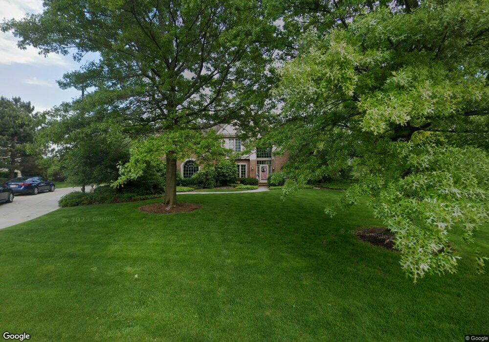
800 Auburn Dr Brookfield, WI 53045
Estimated Value: $964,434 - $1,245,000
4
Beds
6
Baths
3,314
Sq Ft
$331/Sq Ft
Est. Value
About This Home
This home is located at 800 Auburn Dr, Brookfield, WI 53045 and is currently estimated at $1,097,109, approximately $331 per square foot. 800 Auburn Dr is a home located in Waukesha County with nearby schools including Swanson Elementary School, Wisconsin Hills Middle School, and Brookfield Central High School.
Ownership History
Date
Name
Owned For
Owner Type
Purchase Details
Closed on
Feb 26, 1996
Sold by
Weston Hills Llc
Bought by
Fuller Patrick J and Fuller Julie A
Current Estimated Value
Home Financials for this Owner
Home Financials are based on the most recent Mortgage that was taken out on this home.
Original Mortgage
$35,000
Interest Rate
7.06%
Mortgage Type
Purchase Money Mortgage
Create a Home Valuation Report for This Property
The Home Valuation Report is an in-depth analysis detailing your home's value as well as a comparison with similar homes in the area
Home Values in the Area
Average Home Value in this Area
Purchase History
| Date | Buyer | Sale Price | Title Company |
|---|---|---|---|
| Fuller Patrick J | $74,900 | -- |
Source: Public Records
Mortgage History
| Date | Status | Borrower | Loan Amount |
|---|---|---|---|
| Closed | Fuller Patrick J | $35,000 |
Source: Public Records
Tax History
| Year | Tax Paid | Tax Assessment Tax Assessment Total Assessment is a certain percentage of the fair market value that is determined by local assessors to be the total taxable value of land and additions on the property. | Land | Improvement |
|---|---|---|---|---|
| 2024 | $10,030 | $880,500 | $230,000 | $650,500 |
| 2023 | $10,054 | $880,500 | $230,000 | $650,500 |
| 2022 | $11,014 | $753,500 | $230,000 | $523,500 |
| 2021 | $11,681 | $753,500 | $230,000 | $523,500 |
| 2020 | $12,114 | $753,500 | $230,000 | $523,500 |
| 2019 | $11,662 | $753,500 | $230,000 | $523,500 |
| 2018 | $11,467 | $721,700 | $240,000 | $481,700 |
| 2017 | $11,425 | $721,700 | $240,000 | $481,700 |
| 2016 | $11,590 | $721,700 | $240,000 | $481,700 |
| 2015 | $11,508 | $721,700 | $240,000 | $481,700 |
| 2014 | $11,939 | $721,700 | $240,000 | $481,700 |
| 2013 | $11,939 | $721,700 | $240,000 | $481,700 |
Source: Public Records
Map
Nearby Homes
- 19770 Foxkirk Ct
- 550 McPride Ln Unit B
- Lt1 Davidson Rd
- 18785 Davidson Rd
- 675 Charleston Ct Unit B
- 18425 Emerald Dr Unit G
- 18535 Stonehedge Dr Unit A
- 18925 Eagle Dr Unit 101
- 18925 Eagle Dr Unit 102
- 18925 Eagle Dr Unit 202
- 18925 Eagle Dr Unit 201
- 165 Aerie Cir Unit 105
- 18710 Follett Dr Unit 502
- 18775 Brookfield Lake Dr Unit 8
- 18500 Brookfield Lake Dr Unit 74
- 18575 Brookfield Lake Dr Unit 61
- 18275 Brookfield Lake Dr Unit 93
- 860 Anthony Ln
- Lt0 Russet Dr
- 850 Janacek Rd
- 780 Auburn Dr
- 820 Auburn Dr
- 19500 Whitehall Dr
- 19530 Whitehall Dr
- 19480 Whitehall Dr
- 815 Auburn Dr
- 775 Auburn Dr
- 750 Auburn Dr
- 850 Foxkirk Dr
- 825 Auburn Dr
- 755 Fleetwood Ct
- 19540 Whitehall Dr
- 880 Foxkirk Dr
- 735 Auburn Dr
- 19525 Whitehall Dr
- 19575 Davidson Rd
- 19485 Whitehall Dr
- 720 Auburn Dr
- 835 Auburn Dr
- 785 Fleetwood Ct
Your Personal Tour Guide
Ask me questions while you tour the home.