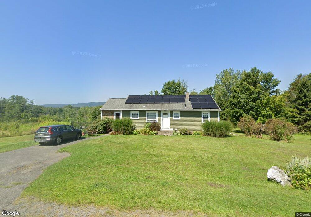
800 Barker Rd Pittsfield, MA 01201
Estimated Value: $320,000 - $384,000
3
Beds
2
Baths
1,360
Sq Ft
$259/Sq Ft
Est. Value
About This Home
This home is located at 800 Barker Rd, Pittsfield, MA 01201 and is currently estimated at $352,395, approximately $259 per square foot. 800 Barker Rd is a home located in Berkshire County with nearby schools including Stearns Elementary School, John T. Reid Middle School, and Taconic High School.
Ownership History
Date
Name
Owned For
Owner Type
Purchase Details
Closed on
Nov 7, 2014
Sold by
Goldman Mardi
Bought by
Hayes Mayra L and Hayes Michael B
Current Estimated Value
Home Financials for this Owner
Home Financials are based on the most recent Mortgage that was taken out on this home.
Original Mortgage
$169,866
Outstanding Balance
$129,496
Interest Rate
3.87%
Mortgage Type
FHA
Estimated Equity
$222,899
Purchase Details
Closed on
Oct 27, 2008
Sold by
Pinsonneault Anne S and Pinsonneault Robert A
Bought by
Goldman Mardi
Home Financials for this Owner
Home Financials are based on the most recent Mortgage that was taken out on this home.
Original Mortgage
$152,000
Interest Rate
5.94%
Mortgage Type
Purchase Money Mortgage
Create a Home Valuation Report for This Property
The Home Valuation Report is an in-depth analysis detailing your home's value as well as a comparison with similar homes in the area
Home Values in the Area
Average Home Value in this Area
Purchase History
| Date | Buyer | Sale Price | Title Company |
|---|---|---|---|
| Hayes Mayra L | $173,000 | -- | |
| Goldman Mardi | $190,000 | -- | |
| Goldman Mardi | $190,000 | -- | |
| Goldman Mardi | $190,000 | -- |
Source: Public Records
Mortgage History
| Date | Status | Borrower | Loan Amount |
|---|---|---|---|
| Open | Hayes Mayra L | $169,866 | |
| Closed | Hayes Mayra L | $169,866 | |
| Previous Owner | Goldman Mardi | $154,000 | |
| Previous Owner | Goldman Mardi | $152,000 |
Source: Public Records
Tax History Compared to Growth
Tax History
| Year | Tax Paid | Tax Assessment Tax Assessment Total Assessment is a certain percentage of the fair market value that is determined by local assessors to be the total taxable value of land and additions on the property. | Land | Improvement |
|---|---|---|---|---|
| 2025 | $4,779 | $266,400 | $70,300 | $196,100 |
| 2024 | $4,539 | $246,000 | $70,300 | $175,700 |
| 2023 | $4,217 | $230,200 | $70,300 | $159,900 |
| 2022 | $3,925 | $211,500 | $70,300 | $141,200 |
| 2021 | $3,679 | $191,100 | $70,300 | $120,800 |
| 2020 | $3,463 | $175,700 | $57,300 | $118,400 |
| 2019 | $3,268 | $168,300 | $53,300 | $115,000 |
| 2018 | $3,282 | $164,000 | $53,300 | $110,700 |
| 2017 | $3,080 | $156,900 | $50,300 | $106,600 |
| 2016 | $2,985 | $159,100 | $50,300 | $108,800 |
| 2015 | $2,873 | $159,100 | $50,300 | $108,800 |
Source: Public Records
Map
Nearby Homes
- 115 Cloverdale St
- 712 Barker Rd
- 1136 Barker Rd Unit 11
- L 105,106 Barker Rd
- 103 Stearns Ave
- 0 Jones Ave
- 90 Jones Ave
- 32 Mead Ave
- 24 Lebanon Ave
- 14 Alpine Trail Unit 14
- 25 Alpine Trail Unit 6-A
- 127 Alpine Trail
- 33 Alpine Trail
- 144 Shore Rd
- 191 Fort Hill Ave
- 20 Pine Rd
- 103 Alpine Trail
- Lot #112 Cadwell Rd
- 47 Gale Ave
- 149 Fort Hill Ave