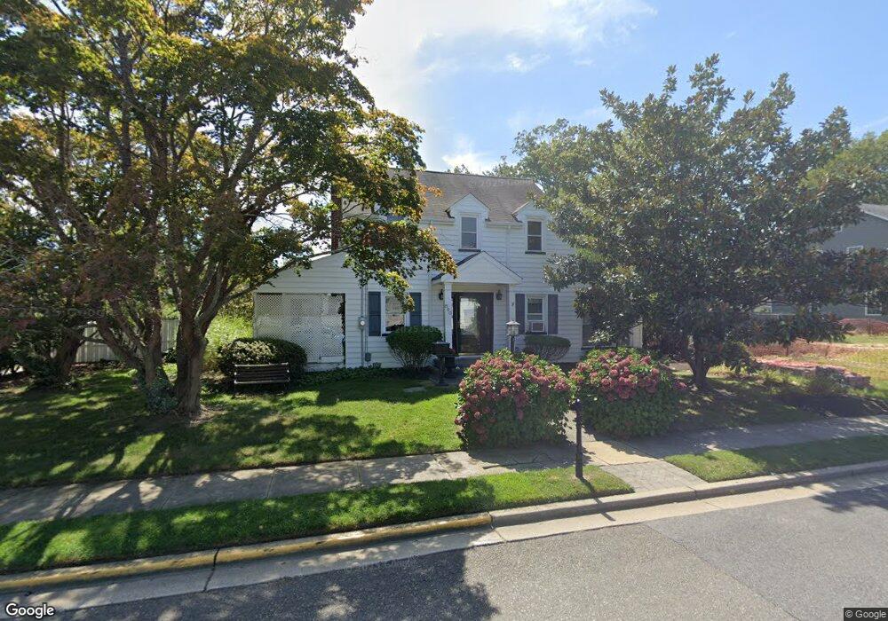
800 Briarcliff Ave Point Pleasant Beach, NJ 08742
Point Pleasant Beach NeighborhoodEstimated Value: $784,000 - $879,634
3
Beds
2
Baths
2,090
Sq Ft
$400/Sq Ft
Est. Value
About This Home
This home is located at 800 Briarcliff Ave, Point Pleasant Beach, NJ 08742 and is currently estimated at $835,659, approximately $399 per square foot. 800 Briarcliff Ave is a home located in Ocean County with nearby schools including G Harold Antrim Elementary School, Point Pleasant Beach High School, and St. Peter School.
Ownership History
Date
Name
Owned For
Owner Type
Purchase Details
Closed on
Jun 2, 2004
Sold by
Sabal Irene L and Sabal Leonard E
Bought by
Norr Michael P and Norr Barbara A
Current Estimated Value
Home Financials for this Owner
Home Financials are based on the most recent Mortgage that was taken out on this home.
Original Mortgage
$180,000
Outstanding Balance
$88,698
Interest Rate
6.12%
Mortgage Type
Credit Line Revolving
Estimated Equity
$746,961
Create a Home Valuation Report for This Property
The Home Valuation Report is an in-depth analysis detailing your home's value as well as a comparison with similar homes in the area
Home Values in the Area
Average Home Value in this Area
Purchase History
| Date | Buyer | Sale Price | Title Company |
|---|---|---|---|
| Norr Michael P | $430,000 | None Available |
Source: Public Records
Mortgage History
| Date | Status | Borrower | Loan Amount |
|---|---|---|---|
| Open | Norr Michael P | $180,000 | |
| Closed | Norr Michael P | $164,000 |
Source: Public Records
Tax History Compared to Growth
Tax History
| Year | Tax Paid | Tax Assessment Tax Assessment Total Assessment is a certain percentage of the fair market value that is determined by local assessors to be the total taxable value of land and additions on the property. | Land | Improvement |
|---|---|---|---|---|
| 2025 | $6,958 | $405,000 | $269,200 | $135,800 |
| 2024 | $6,747 | $405,000 | $269,200 | $135,800 |
| 2023 | $6,557 | $405,000 | $269,200 | $135,800 |
| 2022 | $6,557 | $405,000 | $269,200 | $135,800 |
| 2021 | $6,411 | $405,000 | $269,200 | $135,800 |
| 2020 | $6,403 | $405,000 | $269,200 | $135,800 |
| 2019 | $6,314 | $405,000 | $269,200 | $135,800 |
| 2018 | $6,217 | $405,000 | $269,200 | $135,800 |
| 2017 | $6,120 | $405,000 | $269,200 | $135,800 |
| 2016 | $6,148 | $405,000 | $269,200 | $135,800 |
| 2015 | $6,099 | $405,000 | $269,200 | $135,800 |
| 2014 | $6,071 | $405,000 | $269,200 | $135,800 |
Source: Public Records
Map
Nearby Homes
- 818 Atlantic Ave
- 704 Forman Ave
- 909 Ocean Rd Unit 4
- 606 Bay Ave Unit 2
- 606 Bay Ave Unit 3
- 503 Atlantic Ave
- 607 Richmond Ave Unit 4
- 728 Arnold Ave
- 1301 Bay Ave
- 842 Arnold Ave Unit 2
- 842 Arnold Ave Unit 3
- 804 Clark St
- 800 Grove St
- 845 Arnold Ave Unit 3
- 528 Delaware Ave
- 1325 Bay Ave
- 1215 Johnson Ave
- 821 South St
- 320 Maryland Ave Unit 12J
- 118 New York Ave
- 1023 Gowdy Ave
- 802 Briarcliff Ave
- 1101 Gowdy Ave
- 1017 Gowdy Ave
- 804 Briarcliff Ave
- 1024 Gowdy Ave
- 1103 Gowdy Ave
- 1015 Gowdy Ave
- 1022 Gowdy Ave
- 806 Briarcliff Ave
- 1026 Gowdy Ave Unit 1028
- 1170 Ridgefield Dr
- 1020 Gowdy Ave
- 1100 Gowdy Ave
- 801 Briarcliff Ave
- 1169 Ridgefield Dr
- 1013 Gowdy Ave
- 1102 Gowdy Ave
- 1018 Gowdy Ave
- 1105 Gowdy Ave