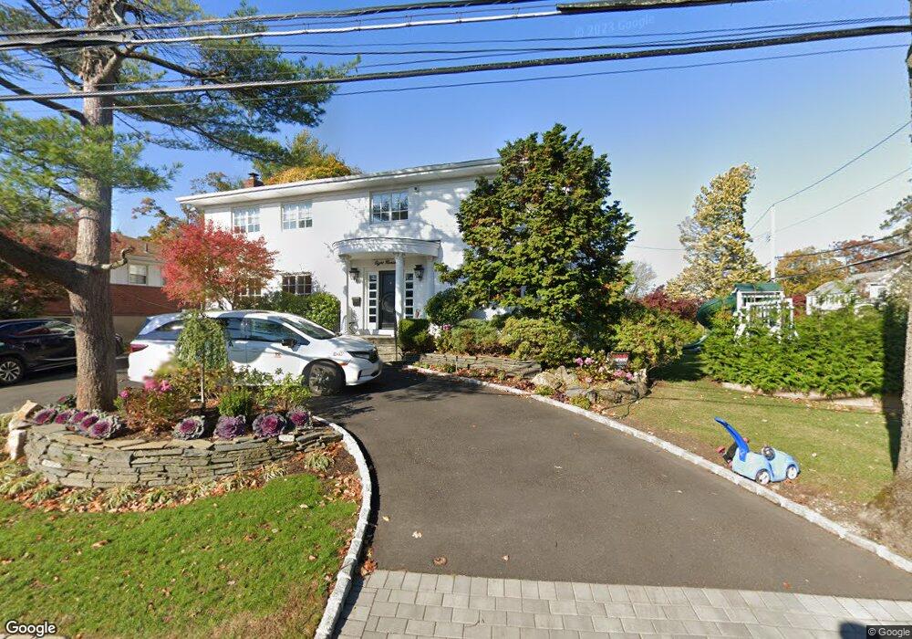
800 Bryant St Woodmere, NY 11598
Estimated Value: $1,939,542 - $2,178,000
5
Beds
4
Baths
3,526
Sq Ft
$584/Sq Ft
Est. Value
About This Home
This home is located at 800 Bryant St, Woodmere, NY 11598 and is currently estimated at $2,058,771, approximately $583 per square foot. 800 Bryant St is a home located in Nassau County with nearby schools including Lawrence Primary School, Lawrence Elementary School, and Lawrence Middle School.
Ownership History
Date
Name
Owned For
Owner Type
Purchase Details
Closed on
Nov 29, 2018
Sold by
Dachs Zena
Bought by
Schertz Samuel Eric and Schertz Daniella Seema
Current Estimated Value
Purchase Details
Closed on
Aug 8, 2018
Sold by
Zena Dechs
Bought by
Dechs Zena
Purchase Details
Closed on
Mar 28, 2005
Sold by
Dachs Norman
Purchase Details
Closed on
Mar 30, 1995
Sold by
Dachs Zena and Dachs Norman
Bought by
Zena Dachs Residence Trust
Purchase Details
Closed on
Mar 23, 1995
Sold by
Dachs Norman and Dachs Zena
Bought by
Dachs Norman and Dachs Zena
Create a Home Valuation Report for This Property
The Home Valuation Report is an in-depth analysis detailing your home's value as well as a comparison with similar homes in the area
Home Values in the Area
Average Home Value in this Area
Purchase History
| Date | Buyer | Sale Price | Title Company |
|---|---|---|---|
| Schertz Samuel Eric | $1,430,000 | None Available | |
| Dechs Zena | -- | None Available | |
| Dachs Zena | -- | None Available | |
| -- | $450,000 | -- | |
| Zena Dachs Residence Trust | -- | -- | |
| Dachs Norman | -- | -- |
Source: Public Records
Tax History Compared to Growth
Tax History
| Year | Tax Paid | Tax Assessment Tax Assessment Total Assessment is a certain percentage of the fair market value that is determined by local assessors to be the total taxable value of land and additions on the property. | Land | Improvement |
|---|---|---|---|---|
| 2025 | $17,762 | $1,071 | $344 | $727 |
| 2024 | $7,953 | $1,063 | $351 | $712 |
| 2023 | $15,563 | $1,063 | $351 | $712 |
| 2022 | $15,563 | $1,063 | $351 | $712 |
| 2021 | $18,858 | $1,140 | $377 | $763 |
| 2020 | $15,588 | $1,076 | $708 | $368 |
| 2019 | $5,386 | $1,076 | $664 | $412 |
| 2018 | $6,329 | $1,148 | $0 | $0 |
| 2017 | $6,659 | $1,220 | $669 | $551 |
| 2016 | $12,162 | $1,292 | $637 | $655 |
| 2015 | $5,724 | $1,364 | $599 | $765 |
| 2014 | $5,724 | $1,364 | $599 | $765 |
| 2013 | $5,645 | $1,435 | $631 | $804 |
Source: Public Records
Map
Nearby Homes
- 709 Carlyle St
- 761 W Broadway
- 385 Forest Ave
- 408 Howard Ave
- 219 Narrow Ln
- 833 Glen Dr
- 359 Derby Ave
- 136 Park St
- 874 W Broadway Unit B-4
- 876 Woodmere Place
- 410 Church Ave
- 862 Peninsula Blvd
- 141 Wyckoff Place Unit 2E
- 141 Wyckoff Place Unit 1F
- 141 Woodmere Blvd Unit 6E
- 141 Woodmere Blvd Unit 6-J
- 141 Woodmere Blvd Unit 2C
- 909 N Central Ave
- 508 Longacre Ave
- 905 Greenfield Rd