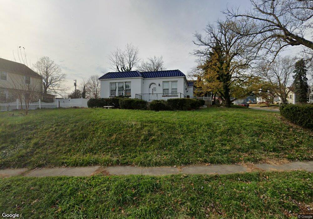
800 Dorchester Rd Baltimore, MD 21229
Estimated Value: $266,980 - $374,000
--
Bed
1
Bath
1,500
Sq Ft
$220/Sq Ft
Est. Value
About This Home
This home is located at 800 Dorchester Rd, Baltimore, MD 21229 and is currently estimated at $329,495, approximately $219 per square foot. 800 Dorchester Rd is a home located in Baltimore County with nearby schools including Catonsville Elementary School, Arbutus Middle School, and Catonsville High School.
Ownership History
Date
Name
Owned For
Owner Type
Purchase Details
Closed on
Nov 26, 2001
Sold by
Howard Timothy P
Bought by
Howard Timothy P and Howard Rebecca L
Current Estimated Value
Purchase Details
Closed on
Jun 30, 1995
Sold by
Aliprando Paul J
Bought by
Howard Timothy P
Home Financials for this Owner
Home Financials are based on the most recent Mortgage that was taken out on this home.
Original Mortgage
$113,300
Interest Rate
7.8%
Create a Home Valuation Report for This Property
The Home Valuation Report is an in-depth analysis detailing your home's value as well as a comparison with similar homes in the area
Home Values in the Area
Average Home Value in this Area
Purchase History
| Date | Buyer | Sale Price | Title Company |
|---|---|---|---|
| Howard Timothy P | -- | -- | |
| Howard Timothy P | $110,000 | -- |
Source: Public Records
Mortgage History
| Date | Status | Borrower | Loan Amount |
|---|---|---|---|
| Previous Owner | Howard Timothy P | $113,300 |
Source: Public Records
Tax History Compared to Growth
Tax History
| Year | Tax Paid | Tax Assessment Tax Assessment Total Assessment is a certain percentage of the fair market value that is determined by local assessors to be the total taxable value of land and additions on the property. | Land | Improvement |
|---|---|---|---|---|
| 2025 | $3,629 | $221,500 | -- | -- |
| 2024 | $3,629 | $211,800 | $84,000 | $127,800 |
| 2023 | $2,322 | $198,500 | $0 | $0 |
| 2022 | $3,932 | $185,200 | $0 | $0 |
| 2021 | $3,063 | $171,900 | $69,500 | $102,400 |
| 2020 | $3,063 | $167,033 | $0 | $0 |
| 2019 | $5,144 | $162,167 | $0 | $0 |
| 2018 | $0 | $157,300 | $55,800 | $101,500 |
| 2017 | $3,657 | $156,833 | $0 | $0 |
| 2016 | $1,809 | $156,367 | $0 | $0 |
| 2015 | $1,809 | $155,900 | $0 | $0 |
| 2014 | $1,809 | $155,900 | $0 | $0 |
Source: Public Records
Map
Nearby Homes
- 808 Warwick Rd
- 815 Warwick Rd
- 704 Dorchester Rd
- 4409 Wilkens Ave
- 4766 Melbourne Rd
- 639 Lucia Ave
- 4505 Wilkens Ave
- 760 S Woodington Rd
- 626 Brisbane Rd
- 4406 Hooper Ave
- 902 Arion Park Rd
- 617 Brisbane Rd
- 4711 Williston St
- 4401 Ridge Dr
- 4863 Melbourne Rd
- 4407 Ridge Dr
- 638 Charraway Rd
- 517 Lucia Ave
- 3909 Colchester Rd
- 4 Holland Hill Ct
- 802 Dorchester Rd
- 4305 Fordham Rd
- 4213 Fordham Rd
- 4302 Kensington Rd
- 4300 Kensington Rd
- 4304 Kensington Rd
- 4307 Fordham Rd
- 4300 Fordham Rd
- 4306 Kensington Rd
- 4211 Fordham Rd
- 4218 Kensington Rd
- 4210 Fordham Rd
- 4302 Fordham Rd
- 4308 Kensington Rd
- 4309 Fordham Rd
- 4208 Fordham Rd
- 4304 Fordham Rd
- 4206 Fordham Rd
- 4209 Fordham Rd
- 4306 Fordham Rd