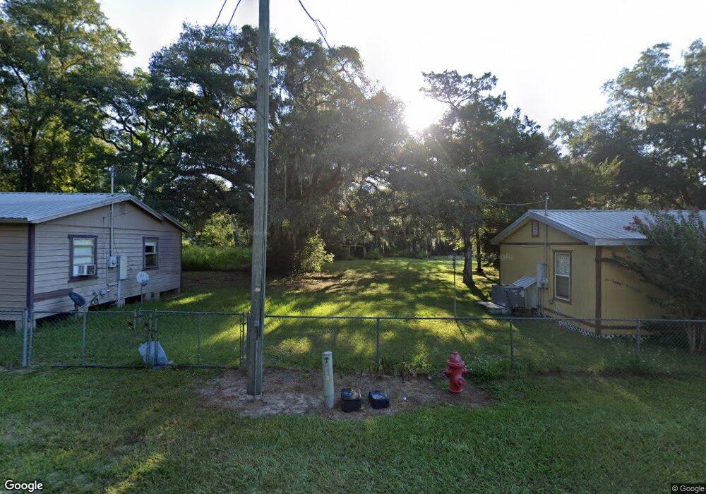
800 E Main St Bronson, FL 32621
Estimated Value: $128,042 - $220,000
Studio
--
Bath
864
Sq Ft
$201/Sq Ft
Est. Value
About This Home
This home is located at 800 E Main St, Bronson, FL 32621 and is currently estimated at $173,761, approximately $201 per square foot. 800 E Main St is a home located in Levy County with nearby schools including Bronson Elementary School and Bronson Middle/High School.
Ownership History
Date
Name
Owned For
Owner Type
Purchase Details
Closed on
Oct 5, 2020
Sold by
Flying Pig Development Llc
Bought by
Flying Pig Development Llc
Current Estimated Value
Purchase Details
Closed on
Jun 25, 2004
Sold by
Mitchem Louse
Bought by
Flying Pig Development
Home Financials for this Owner
Home Financials are based on the most recent Mortgage that was taken out on this home.
Original Mortgage
$105,000
Interest Rate
9%
Mortgage Type
Seller Take Back
Create a Home Valuation Report for This Property
The Home Valuation Report is an in-depth analysis detailing your home's value as well as a comparison with similar homes in the area
Purchase History
| Date | Buyer | Sale Price | Title Company |
|---|---|---|---|
| Flying Pig Development Llc | -- | None Available | |
| Town Of Bronson | -- | None Available | |
| Flying Pig Development Llc | -- | None Available | |
| Flying Pig Development | $115,000 | Security Title Services Inc |
Source: Public Records
Mortgage History
| Date | Status | Borrower | Loan Amount |
|---|---|---|---|
| Closed | Flying Pig Development | $105,000 |
Source: Public Records
Tax History
| Year | Tax Paid | Tax Assessment Tax Assessment Total Assessment is a certain percentage of the fair market value that is determined by local assessors to be the total taxable value of land and additions on the property. | Land | Improvement |
|---|---|---|---|---|
| 2025 | $2,068 | $112,966 | $36,475 | $76,491 |
| 2024 | $2,068 | $107,876 | $31,385 | $76,491 |
| 2023 | $1,936 | $70,444 | $0 | $0 |
| 2022 | $1,801 | $83,412 | $23,751 | $59,661 |
| 2021 | $1,476 | $58,218 | $19,001 | $39,217 |
| 2020 | $1,389 | $54,343 | $0 | $0 |
| 2019 | $1,155 | $45,467 | $0 | $0 |
| 2018 | $1,153 | $44,916 | $0 | $0 |
| 2017 | $1,030 | $43,842 | $0 | $0 |
| 2016 | $1,035 | $41,921 | $0 | $0 |
| 2015 | $1,004 | $41,098 | $0 | $0 |
| 2014 | $926 | $39,517 | $0 | $0 |
Source: Public Records
Map
Nearby Homes
- 45 Forest Ln
- 285 Pine Dr
- 0 NE 90th Ave Unit MFRA4672326
- 0000 NE 82nd Place
- 470 Margaret St
- 350 Ishie Ave
- 0000 NE 83rd Ln
- tbd Hardee St
- 587 Marshburn Dr
- 591 Marshburn Dr
- 605 Standridge St
- 145 Palm Dr
- 155 Palm Dr
- 9230 NE State Road 24
- TBD School St
- NE 90th Ct
- 675 Marshburn Dr
- 9050 NE 80th St
- 667 Stephens St
- 8251 NE 95th Ave
Your Personal Tour Guide
Ask me questions while you tour the home.