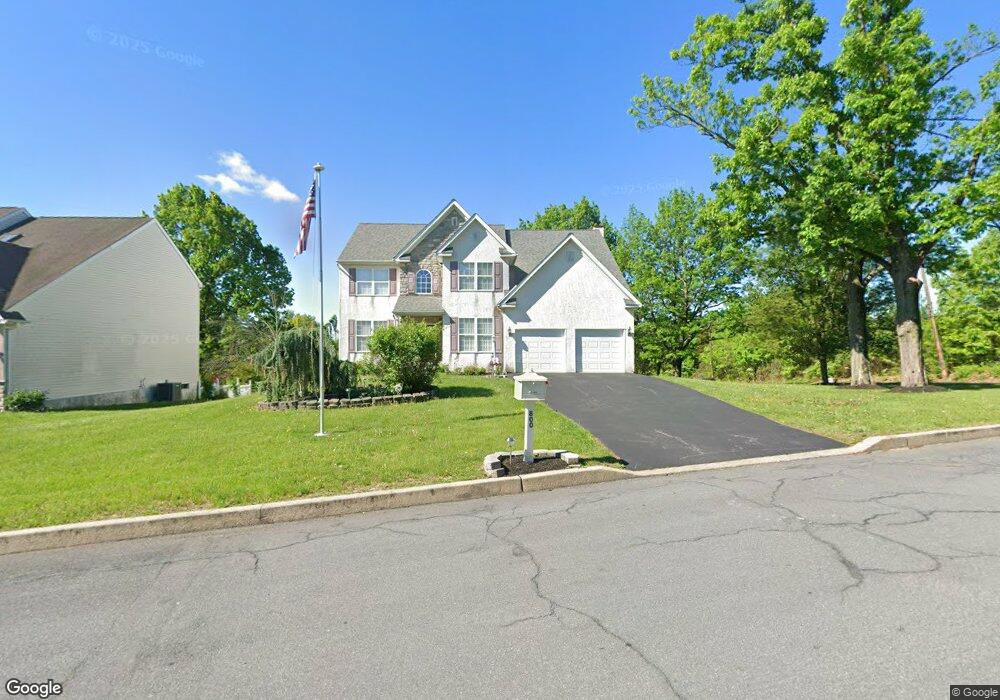
800 Generals Dr Norristown, PA 19403
Estimated Value: $622,000 - $671,925
4
Beds
3
Baths
2,696
Sq Ft
$241/Sq Ft
Est. Value
About This Home
This home is located at 800 Generals Dr, Norristown, PA 19403 and is currently estimated at $649,481, approximately $240 per square foot. 800 Generals Dr is a home located in Montgomery County with nearby schools including Whitehall Elementary School, Charles Blockson Middle School, and East Norriton Middle School.
Ownership History
Date
Name
Owned For
Owner Type
Purchase Details
Closed on
Aug 5, 2008
Sold by
Mccloy Rosemarie A
Bought by
Mccloy Rosemarie A
Current Estimated Value
Home Financials for this Owner
Home Financials are based on the most recent Mortgage that was taken out on this home.
Original Mortgage
$150,000
Outstanding Balance
$98,787
Interest Rate
6.4%
Estimated Equity
$550,694
Create a Home Valuation Report for This Property
The Home Valuation Report is an in-depth analysis detailing your home's value as well as a comparison with similar homes in the area
Home Values in the Area
Average Home Value in this Area
Purchase History
| Date | Buyer | Sale Price | Title Company |
|---|---|---|---|
| Mccloy Rosemarie A | -- | None Available |
Source: Public Records
Mortgage History
| Date | Status | Borrower | Loan Amount |
|---|---|---|---|
| Open | Mccloy Rosemarie A | $150,000 |
Source: Public Records
Tax History Compared to Growth
Tax History
| Year | Tax Paid | Tax Assessment Tax Assessment Total Assessment is a certain percentage of the fair market value that is determined by local assessors to be the total taxable value of land and additions on the property. | Land | Improvement |
|---|---|---|---|---|
| 2025 | $10,740 | $227,970 | -- | -- |
| 2024 | $10,740 | $227,970 | -- | -- |
| 2023 | $10,614 | $227,970 | $0 | $0 |
| 2022 | $10,542 | $227,970 | $0 | $0 |
| 2021 | $11,292 | $245,740 | $65,940 | $179,800 |
| 2020 | $10,942 | $245,740 | $65,940 | $179,800 |
| 2019 | $10,688 | $245,740 | $65,940 | $179,800 |
| 2018 | $10,688 | $245,740 | $65,940 | $179,800 |
| 2017 | $10,067 | $245,740 | $65,940 | $179,800 |
| 2016 | $9,971 | $245,740 | $65,940 | $179,800 |
| 2015 | $9,449 | $245,740 | $65,940 | $179,800 |
| 2014 | $9,449 | $245,740 | $65,940 | $179,800 |
Source: Public Records
Map
Nearby Homes
- 911 Caralea Dr
- 758 Sandra Ln
- 805 Stonybrook Dr
- 805 Sandra Ln
- 511 Faith Dr
- 515 Faith Dr
- 2158 Alexander Dr
- 1110 Stonybrook Dr
- 1803 Sweet Gum Dr
- 3006 Potshop Rd
- 1104 Arden Dr Unit METHACTON SCHOOL
- 00 Arden Dr Unit METHACTON SCHOOL
- 2020 Sterigere St
- 301 Winterfall Ave
- 930 Heritage Dr
- 0 Windy Hill Rd Unit METHACTON SD
- 2939 W Germantown Pike
- 2020 Davis Dr
- 3122 Taft Rd
- 000 Arden Dr Unit METHACTON SD
- 802 Generals Dr
- 806 Generals Dr
- 804 Generals Dr
- 815 Generals Dr
- 813 Generals Dr
- 532 Burnside Ave
- 512 Burnside Ave
- 811 Generals Dr
- 807 Generals Dr
- 809 Generals Dr
- 536 Burnside Ave
- 540 Burnside Ave
- 490 Burnside Ave Unit 109
- 530 Burnside Ave
- 542 Burnside Ave
- 480 Burnside Ave
- 546 Burnside Ave
- 548 Burnside Ave
- 550 Burnside Ave
- 838 W Germantown Pike