800 High Rock Rd Gibsonville, NC 27249
Estimated Value: $371,000 - $528,631
--
Bed
1
Bath
2,259
Sq Ft
$195/Sq Ft
Est. Value
About This Home
This home is located at 800 High Rock Rd, Gibsonville, NC 27249 and is currently estimated at $439,544, approximately $194 per square foot. 800 High Rock Rd is a home located in Rockingham County with nearby schools including Williamsburg Elementary School, Reidsville High School, and Reidsville Middle School.
Ownership History
Date
Name
Owned For
Owner Type
Purchase Details
Closed on
Jun 30, 2015
Sold by
Huffines Brenda Kay Mckinney and Huffines Tommy
Bought by
Huffines Brenda Kay Mckinney and Huffines Tommy
Current Estimated Value
Home Financials for this Owner
Home Financials are based on the most recent Mortgage that was taken out on this home.
Original Mortgage
$170,000
Interest Rate
3.89%
Mortgage Type
New Conventional
Create a Home Valuation Report for This Property
The Home Valuation Report is an in-depth analysis detailing your home's value as well as a comparison with similar homes in the area
Home Values in the Area
Average Home Value in this Area
Purchase History
| Date | Buyer | Sale Price | Title Company |
|---|---|---|---|
| Huffines Brenda Kay Mckinney | -- | Attorney |
Source: Public Records
Mortgage History
| Date | Status | Borrower | Loan Amount |
|---|---|---|---|
| Closed | Huffines Brenda Kay Mckinney | $170,000 |
Source: Public Records
Tax History Compared to Growth
Tax History
| Year | Tax Paid | Tax Assessment Tax Assessment Total Assessment is a certain percentage of the fair market value that is determined by local assessors to be the total taxable value of land and additions on the property. | Land | Improvement |
|---|---|---|---|---|
| 2025 | $2,283 | $442,690 | $121,169 | $321,521 |
| 2024 | $2,224 | $442,690 | $121,169 | $321,521 |
| 2023 | $2,224 | $288,525 | $103,556 | $184,969 |
| 2022 | $1,596 | $288,525 | $103,556 | $184,969 |
| 2021 | $1,596 | $288,525 | $103,556 | $184,969 |
| 2020 | $1,596 | $288,525 | $103,556 | $184,969 |
| 2019 | $1,596 | $288,525 | $103,556 | $184,969 |
| 2018 | $1,655 | $284,390 | $103,040 | $181,350 |
| 2017 | $1,655 | $284,390 | $103,040 | $181,350 |
| 2015 | $1,641 | $201,528 | $23,925 | $177,603 |
| 2014 | -- | $201,528 | $23,925 | $177,603 |
Source: Public Records
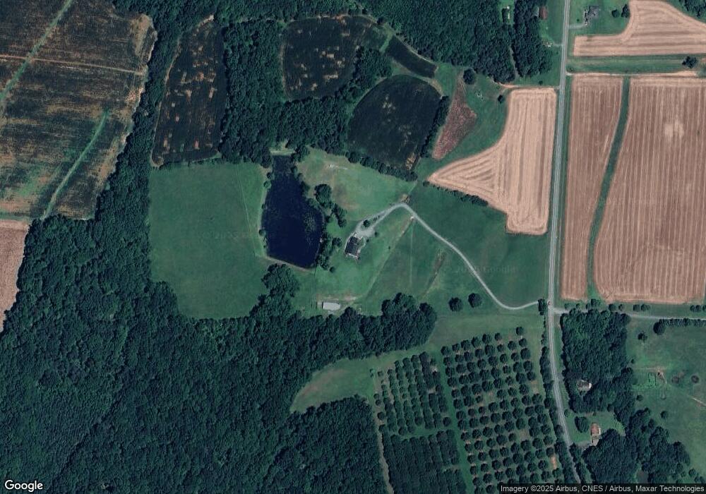
Map
Nearby Homes
- 319 MacY Mae Way
- 251 MacY Mae Way
- 276 Brann Rd
- 552 Nc Highway 87
- 000 Sunset View Ct
- 341 Somers Loop
- 14.45± Acres Off Pritchett Rd
- 475 Parkdale Rd
- 0000 Neal Rd
- 000 Neal Rd
- 0 Candy Creek Rd
- 0 Jones Lake Rd
- 336 Jones Lake Rd
- 10064 Cherry Grove Rd
- 3349 Nc Highway 87
- 5765 Chrismon Rd
- 5767 Chrismon Rd
- 4100 High Rock Rd
- 2004 Camp Springs Rd
- 247 Bobwhite Dr
- 736 High Rock Rd
- 871 High Rock Rd
- 1208 Gilliam Rd
- 897 High Rock Rd
- 701 High Rock Rd
- 700 High Rock Rd
- 193 Cross Creek Trail
- 1175 Gilliam Rd
- 691 High Rock Rd
- 960 High Rock Rd
- 635 High Rock Rd
- 985 High Rock Rd
- 1065 High Rock Rd
- 557 High Rock Rd
- 291 Cross Creek Trail
- 525 High Rock Rd
- 509 High Rock Rd
- 501 High Rock Rd
- 1260 High Rock Rd
- 489 High Rock Rd