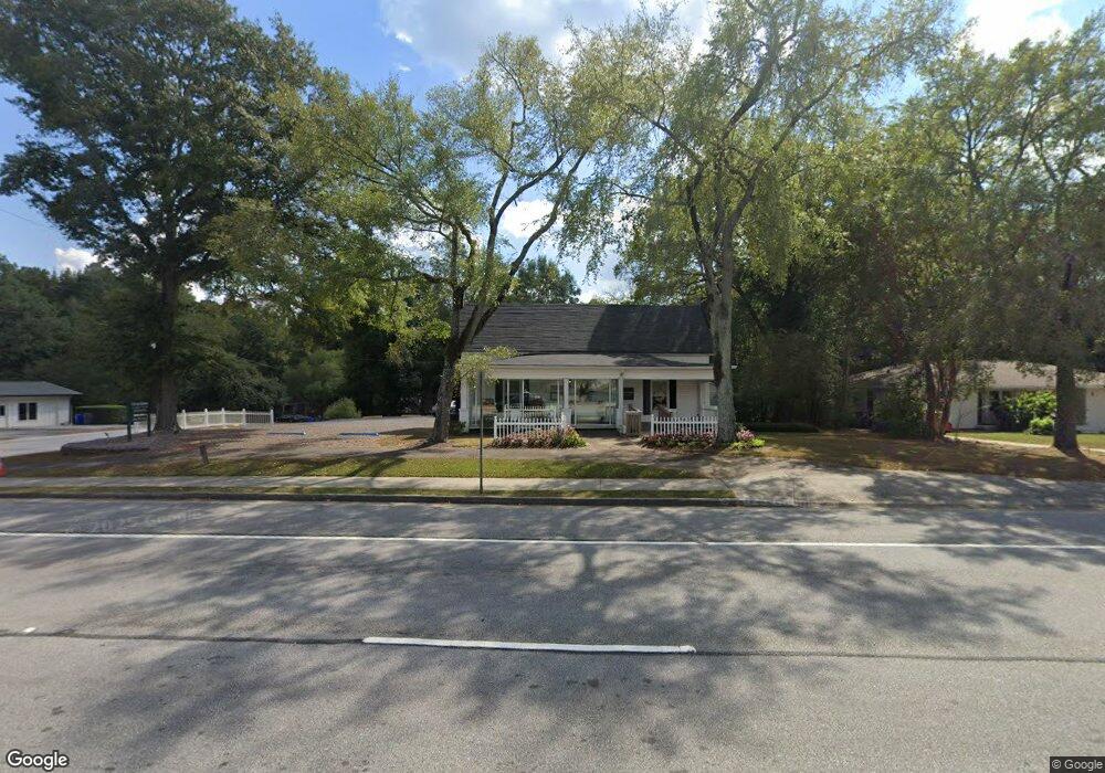
800 Lanier Ave W Fayetteville, GA 30214
Estimated Value: $414,547
--
Bed
--
Bath
1,955
Sq Ft
$212/Sq Ft
Est. Value
About This Home
This home is located at 800 Lanier Ave W, Fayetteville, GA 30214 and is currently estimated at $414,547, approximately $212 per square foot. 800 Lanier Ave W is a home located in Fayette County with nearby schools including Spring Hill Elementary School, Bennett's Mill Middle School, and Fayette County High School.
Ownership History
Date
Name
Owned For
Owner Type
Purchase Details
Closed on
May 30, 2023
Sold by
Mccurry James
Bought by
Buzzo Llc
Current Estimated Value
Home Financials for this Owner
Home Financials are based on the most recent Mortgage that was taken out on this home.
Original Mortgage
$330,000
Interest Rate
6.5%
Mortgage Type
Seller Take Back
Purchase Details
Closed on
Apr 7, 2023
Sold by
Metcalf Butch
Bought by
Mccurry James Randall
Home Financials for this Owner
Home Financials are based on the most recent Mortgage that was taken out on this home.
Original Mortgage
$330,000
Interest Rate
6.5%
Mortgage Type
Seller Take Back
Purchase Details
Closed on
Mar 10, 2004
Sold by
Metcalf Butch and Metcalf Starla
Bought by
Gordon Wayne and Gordon Juli
Create a Home Valuation Report for This Property
The Home Valuation Report is an in-depth analysis detailing your home's value as well as a comparison with similar homes in the area
Home Values in the Area
Average Home Value in this Area
Purchase History
| Date | Buyer | Sale Price | Title Company |
|---|---|---|---|
| Buzzo Llc | -- | None Listed On Document | |
| Mccurry James Randall | $390,000 | None Listed On Document | |
| Gordon Wayne | $350,000 | -- |
Source: Public Records
Mortgage History
| Date | Status | Borrower | Loan Amount |
|---|---|---|---|
| Previous Owner | Mccurry James Randall | $330,000 |
Source: Public Records
Tax History Compared to Growth
Tax History
| Year | Tax Paid | Tax Assessment Tax Assessment Total Assessment is a certain percentage of the fair market value that is determined by local assessors to be the total taxable value of land and additions on the property. | Land | Improvement |
|---|---|---|---|---|
| 2024 | $4,528 | $152,349 | $60,112 | $92,237 |
| 2023 | $2,185 | $71,788 | $28,748 | $43,040 |
| 2022 | $2,004 | $65,936 | $26,136 | $39,800 |
| 2021 | $1,817 | $59,016 | $26,136 | $32,880 |
| 2020 | $1,778 | $57,496 | $26,136 | $31,360 |
| 2019 | $1,799 | $57,616 | $26,136 | $31,480 |
| 2018 | $1,740 | $55,136 | $26,136 | $29,000 |
| 2017 | $1,650 | $55,176 | $26,136 | $29,040 |
| 2016 | $1,825 | $59,724 | $47,044 | $12,680 |
| 2015 | $1,938 | $62,284 | $47,044 | $15,240 |
| 2014 | $2,087 | $65,844 | $47,044 | $18,800 |
| 2013 | -- | $65,844 | $0 | $0 |
Source: Public Records
Map
Nearby Homes
- 1305 & 1307 Highway 54
- 120 Deep Forest Ln Unit 1
- 105 Deep Forest Ln
- 125 Climbing Ivy Cir
- 115 Climbing Ivy Cir
- Thornewood Plan at Village Towns
- 405 415 Chase Dr
- 325 Enchanted Ct
- 550 Thatch Terrace
- 105 Hollis St
- 210 Colonial Ct
- 295 Cobalt Dr
- 315 Cobalt Dr
- 305 Cobalt Dr
- 315 Walker Ave
- 110 Sparrows Cove
- 165 Mourning Dove Dr N
- 155 Medford Dr
- 0 Hwy 54 West of Yorktown Dr Unit 10463188
- 105 Rehobeth Way
- 810 Lanier Ave W
- 105 Rose Ct Unit A
- 105 Rose Ct
- 105 Rose Ct Unit B
- 115 Rose Ct
- 720 Lanier Ave E
- 125 Rose Ct
- 135 Rose Ct Unit B
- 135 Rose Ct Unit A&B
- 135 Rose Ct Unit A
- 135 Rose Ct
- 110 Deep Forest Ln
- 0 Highway 54
- 100 Deep Forest Ln
- 719 Lanier Ave W
- 200 Oak St
- 735 Lanier Ave W
- 210 Oak St Unit 2
- 130 Deep Forest Ln
- 715 W Lanier Ave Unit A