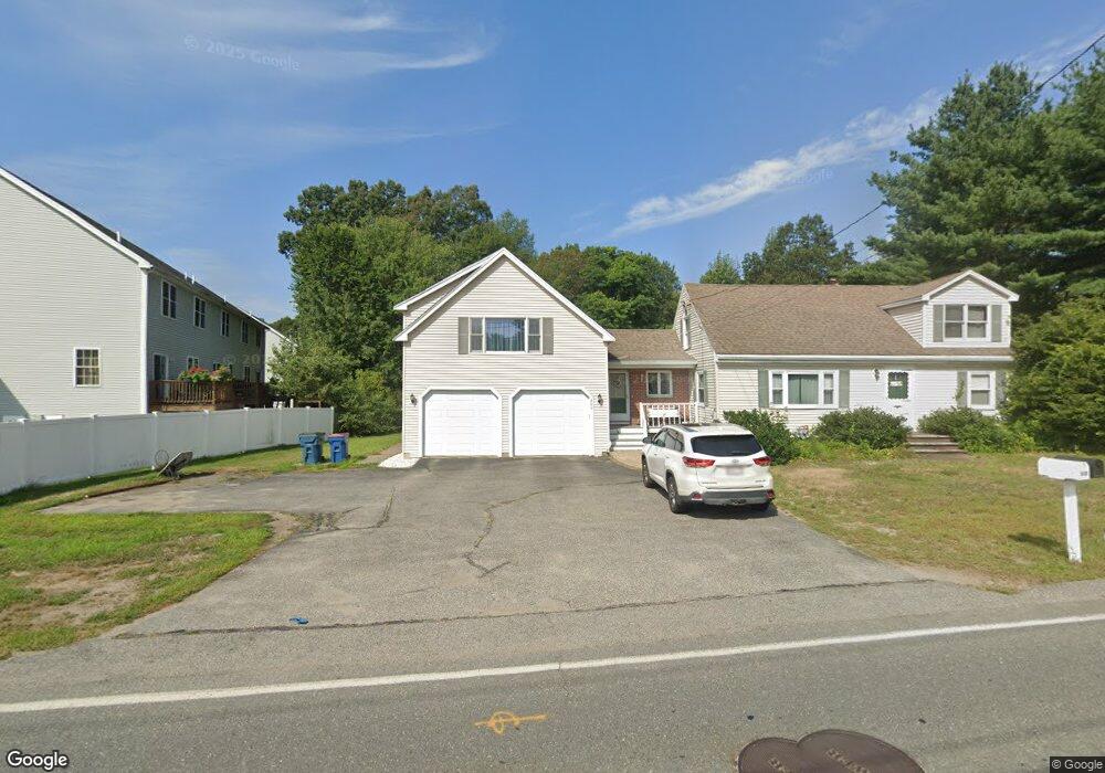
800 Livingston St Tewksbury, MA 01876
Estimated Value: $760,000 - $797,000
3
Beds
2
Baths
1,896
Sq Ft
$411/Sq Ft
Est. Value
About This Home
This home is located at 800 Livingston St, Tewksbury, MA 01876 and is currently estimated at $778,481, approximately $410 per square foot. 800 Livingston St is a home located in Middlesex County with nearby schools including John F. Ryan Elementary School, John W. Wynn Middle School, and Tewksbury Memorial High School.
Ownership History
Date
Name
Owned For
Owner Type
Purchase Details
Closed on
Mar 19, 2012
Sold by
Eloi Ferdil and Eloi Annette
Bought by
Eloi Annette
Current Estimated Value
Home Financials for this Owner
Home Financials are based on the most recent Mortgage that was taken out on this home.
Original Mortgage
$215,000
Outstanding Balance
$147,619
Interest Rate
3.86%
Mortgage Type
New Conventional
Estimated Equity
$630,862
Purchase Details
Closed on
Oct 24, 1995
Sold by
Patenaude Michael
Bought by
Eloi Ferdil and Eloi Annette
Home Financials for this Owner
Home Financials are based on the most recent Mortgage that was taken out on this home.
Original Mortgage
$125,000
Interest Rate
7.6%
Mortgage Type
Purchase Money Mortgage
Purchase Details
Closed on
Jan 4, 1991
Sold by
Sullivan Robert P
Bought by
Patenaude Michael P
Create a Home Valuation Report for This Property
The Home Valuation Report is an in-depth analysis detailing your home's value as well as a comparison with similar homes in the area
Home Values in the Area
Average Home Value in this Area
Purchase History
| Date | Buyer | Sale Price | Title Company |
|---|---|---|---|
| Eloi Annette | -- | -- | |
| Eloi Ferdil | $175,000 | -- | |
| Patenaude Michael P | $117,000 | -- |
Source: Public Records
Mortgage History
| Date | Status | Borrower | Loan Amount |
|---|---|---|---|
| Open | Eloi Annette | $215,000 | |
| Previous Owner | Patenaude Michael P | $200,000 | |
| Previous Owner | Patenaude Michael P | $125,000 | |
| Previous Owner | Patenaude Michael P | $100,000 |
Source: Public Records
Tax History Compared to Growth
Tax History
| Year | Tax Paid | Tax Assessment Tax Assessment Total Assessment is a certain percentage of the fair market value that is determined by local assessors to be the total taxable value of land and additions on the property. | Land | Improvement |
|---|---|---|---|---|
| 2025 | $8,130 | $615,000 | $300,300 | $314,700 |
| 2024 | $7,980 | $596,000 | $286,300 | $309,700 |
| 2023 | $7,480 | $530,500 | $260,200 | $270,300 |
| 2022 | $7,261 | $477,700 | $226,400 | $251,300 |
| 2021 | $5,438 | $442,700 | $205,800 | $236,900 |
| 2020 | $10,299 | $431,100 | $195,700 | $235,400 |
| 2019 | $6,504 | $410,600 | $186,300 | $224,300 |
| 2018 | $6,176 | $382,900 | $186,300 | $196,600 |
| 2017 | $4,936 | $358,300 | $186,300 | $172,000 |
| 2016 | $5,675 | $347,100 | $186,300 | $160,800 |
| 2015 | $5,207 | $318,100 | $180,900 | $137,200 |
| 2014 | $4,992 | $309,900 | $180,900 | $129,000 |
Source: Public Records
Map
Nearby Homes
- 51 Nolan Ct Unit 51
- 13 Berkeley
- 399 North St
- 20 Meredith Rd
- 5 Kensington Way Unit 5
- 110 Royal Crest Cir
- 1170 Livingston St
- 11 Orchard St
- 61 Patrick Rd
- 1334 Main St
- 1325 Main
- 68 Catamount Rd
- 1117 Emerald Ct
- 11 Emerald Ct
- 1224 Emerald Ct
- 142 Patrick Rd
- 100 Pleasant St Unit 14
- 1418 Main St Unit 201
- 120 Judique Rd
- 69 Blanchard St
- 777 Livingston St
- 797 Livingston St
- 20 Katie Way
- 60 Nolan Ct Unit 60
- 31 Nolan Ct Unit 14
- 81 Nolan Ct Unit 9
- 80 Nolan Ct
- 70 Nolan Ct
- 60 Nolan Ct
- 50 Nolan Ct
- 40 Nolan Ct
- 30 Nolan Ct
- 20 Nolan Ct
- 10 Nolan Ct
- 50 Nolan Ct Unit C
- 60 Nolan Ct Unit A
- 30 Nolan Ct Unit 30
- 20 Nolan Ct Unit 20
- 10 Nolan Ct Unit 10
- 40 Nolan Ct Unit 40