800 Mcelwee Rd Unit RD2 Moorestown, NJ 08057
Estimated Value: $1,455,802 - $2,305,000
--
Bed
--
Bath
5,710
Sq Ft
$310/Sq Ft
Est. Value
About This Home
This home is located at 800 Mcelwee Rd Unit RD2, Moorestown, NJ 08057 and is currently estimated at $1,770,934, approximately $310 per square foot. 800 Mcelwee Rd Unit RD2 is a home located in Burlington County with nearby schools including South Valley Elementary School, Moorestown Upper Elementary School, and William Allen Middle School.
Ownership History
Date
Name
Owned For
Owner Type
Purchase Details
Closed on
Dec 31, 2020
Sold by
Laino Michael V
Bought by
Muhlbaier Mannion Laura and Toy Jacqueline
Current Estimated Value
Purchase Details
Closed on
Mar 6, 2004
Sold by
Laino Michael V and Laino Arlene R
Bought by
Laino Michael and Laino Arlene R
Create a Home Valuation Report for This Property
The Home Valuation Report is an in-depth analysis detailing your home's value as well as a comparison with similar homes in the area
Home Values in the Area
Average Home Value in this Area
Purchase History
| Date | Buyer | Sale Price | Title Company |
|---|---|---|---|
| Muhlbaier Mannion Laura | -- | Applegate Kit | |
| Laino Michael | -- | -- |
Source: Public Records
Tax History Compared to Growth
Tax History
| Year | Tax Paid | Tax Assessment Tax Assessment Total Assessment is a certain percentage of the fair market value that is determined by local assessors to be the total taxable value of land and additions on the property. | Land | Improvement |
|---|---|---|---|---|
| 2025 | $27,173 | $957,800 | $185,300 | $772,500 |
| 2024 | $26,349 | $957,800 | $185,300 | $772,500 |
| 2023 | $26,349 | $957,800 | $185,300 | $772,500 |
| 2022 | $26,081 | $957,800 | $185,300 | $772,500 |
| 2021 | $25,736 | $957,800 | $185,300 | $772,500 |
| 2020 | $25,573 | $957,800 | $185,300 | $772,500 |
| 2019 | $25,123 | $957,800 | $185,300 | $772,500 |
| 2018 | $24,443 | $957,800 | $185,300 | $772,500 |
| 2017 | $24,654 | $957,800 | $185,300 | $772,500 |
| 2016 | $24,568 | $957,800 | $185,300 | $772,500 |
| 2015 | $24,271 | $957,800 | $185,300 | $772,500 |
| 2014 | $23,045 | $957,800 | $185,300 | $772,500 |
Source: Public Records
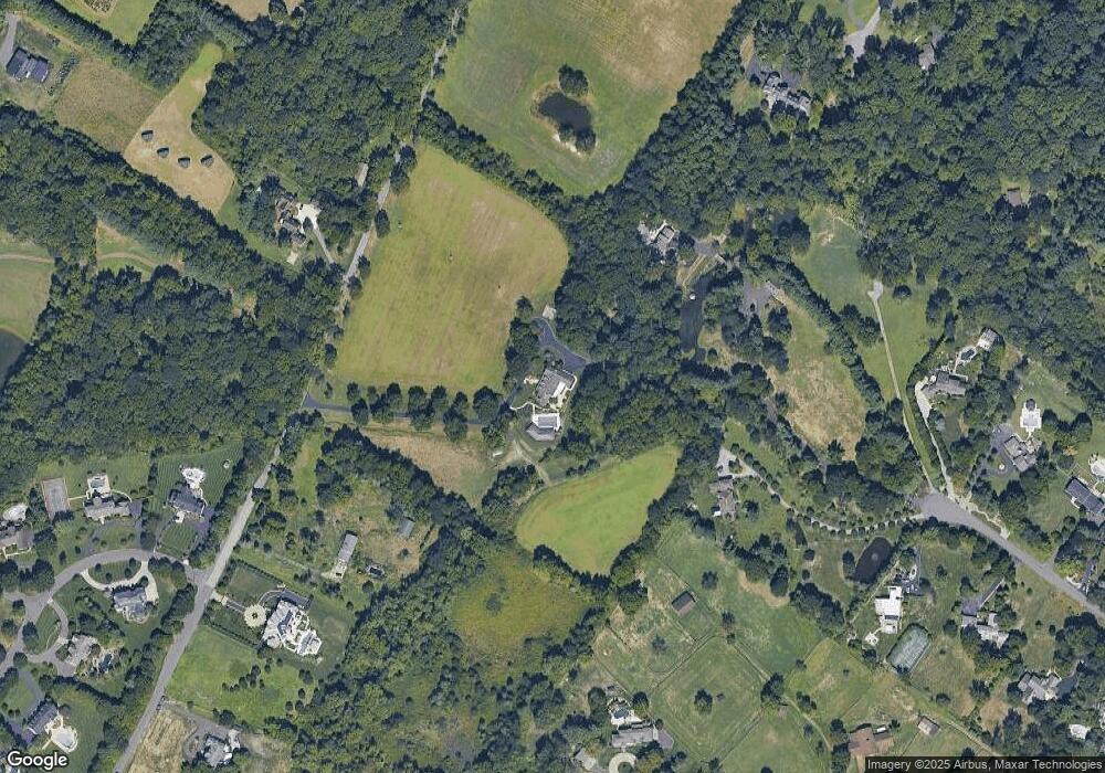
Map
Nearby Homes
- 901 Mcelwee Rd
- 127 Oakmont Dr
- 950 Bortons Landing Rd
- 12 Cove Rd
- 801 Cox Rd
- 14 Baltusrol Terrace
- 712 Kimberly Dr
- 359 Creek Rd
- 42 Landing Ct
- 700 Bentley Ct
- 40 Palmer Dr Unit 110
- 97 Brooks Rd
- 39 Bramley Rd
- 5 Murray Rd
- 158 Sarazen Dr
- 206 Club House Dr
- 740 Garwood Rd
- 27 Firethorn Ln
- 22 Sun Haven Place
- 21 Beechnut Ln
- 6 Cortland Shire Dr
- 8 Cortland Shire Dr
- 851 Mcelwee Rd Unit RD2
- 801 Mcelwee Rd Unit RD2
- 900 Mcelwee Rd Unit LOT 21
- 900 Mcelwee Rd Unit RD2
- 730 Mcelwee Rd
- 8 Baldwin Hill Place
- 750 Mcelwee Rd
- 7 Rosewood Ln
- 739 Brandywine Dr
- 720 Mcelwee Rd
- 5 Cortland Shire Dr
- 9 Cortland Shire Dr
- 10 Cortland Shire Dr
- 737 Brandywine Dr
- 716 Brandywine Dr
- 701 Bortons Landing Rd
- 701 Bortons Landing Rd
- 701 Bortons Landing Rd Unit F