Estimated Value: $311,000 - $434,875
4
Beds
3
Baths
2,647
Sq Ft
$141/Sq Ft
Est. Value
About This Home
This home is located at 800 Meadow Ln, Howe, OK 74940 and is currently estimated at $374,292, approximately $141 per square foot. 800 Meadow Ln is a home with nearby schools including Howe Elementary School and Howe High School.
Ownership History
Date
Name
Owned For
Owner Type
Purchase Details
Closed on
Feb 13, 2020
Sold by
Jason P Blake And Sandra L Blake Liv Tr
Bought by
Molholt Robert and Molholt Heather
Current Estimated Value
Home Financials for this Owner
Home Financials are based on the most recent Mortgage that was taken out on this home.
Original Mortgage
$148,000
Outstanding Balance
$102,261
Interest Rate
3.72%
Mortgage Type
New Conventional
Estimated Equity
$272,031
Purchase Details
Closed on
Oct 8, 2019
Sold by
Cox Bobby D
Bought by
Jason P Blake And Sandra L Blake Liv Tr
Create a Home Valuation Report for This Property
The Home Valuation Report is an in-depth analysis detailing your home's value as well as a comparison with similar homes in the area
Home Values in the Area
Average Home Value in this Area
Purchase History
| Date | Buyer | Sale Price | Title Company |
|---|---|---|---|
| Molholt Robert | $217,000 | Adams Abstract Company Inc | |
| Jason P Blake And Sandra L Blake Liv Tr | $215,000 | None Available |
Source: Public Records
Mortgage History
| Date | Status | Borrower | Loan Amount |
|---|---|---|---|
| Open | Molholt Robert | $148,000 |
Source: Public Records
Tax History Compared to Growth
Tax History
| Year | Tax Paid | Tax Assessment Tax Assessment Total Assessment is a certain percentage of the fair market value that is determined by local assessors to be the total taxable value of land and additions on the property. | Land | Improvement |
|---|---|---|---|---|
| 2023 | $2,109 | $25,324 | $935 | $24,389 |
| 2022 | $2,060 | $24,586 | $935 | $23,651 |
| 2021 | $1,990 | $23,870 | $935 | $22,935 |
| 2020 | $2,068 | $23,650 | $935 | $22,715 |
| 2019 | $1,678 | $20,128 | $935 | $19,193 |
| 2018 | $1,632 | $19,542 | $935 | $18,607 |
| 2017 | $1,584 | $18,972 | $935 | $18,037 |
| 2016 | $1,552 | $18,420 | $935 | $17,485 |
| 2015 | $1,550 | $17,884 | $935 | $16,949 |
| 2014 | $1,479 | $17,363 | $935 | $16,428 |
Source: Public Records
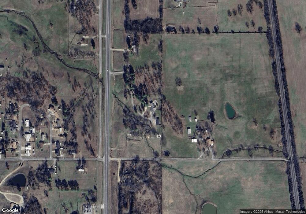
Map
Nearby Homes
- 39897 Drury Ln
- 40834 Old Pike Rd
- 21415 6th St
- 21406 6th St
- 39689 Texas Ave
- 0 Choctaw Ave
- 21686 Cedar Hill Dr
- TBD Ivy St
- 21707 Ivy St
- 21559 Forest Ave
- 39767 Cedar Hills Cir
- 39767 Cedar Hill Cir
- 130 Nobles Rd
- 21580 Ranch Rd
- 20864 Luton Ln
- 19193 Twin Pines Ln
- 20501 Old Pike Rd
- TBD Old Pike Rd
- 39827 Morris Creek Rd
- TBD Smokey Ln
- TBD Trestle Rd
- 20784 Trestle Rd
- 21064 9th St
- 39942 E Drury Ln
- 39966 E Drury Ln
- 39928 E Drury Ln
- 39984 E Drury Ln
- 39651 208th Ave
- 39953 E Drury Ln
- 39907 E Drury Ln
- 21101 9th St
- 39922 W Drury Ln
- 39930 Round Mtn Ln
- 39950 Drury Ln
- 39832 Us Highway 59
- 39990 W Drury Ln
- 21165 9th St
- 39649 S Old 59
- 39895 W Drury Ln
- 39911 W Drury Ln