800 Merchant St Port Huron, MI 48060
Downtown Port Huron NeighborhoodEstimated Value: $52,000 - $180,000
--
Bed
--
Bath
--
Sq Ft
5,314
Sq Ft Lot
About This Home
This home is located at 800 Merchant St, Port Huron, MI 48060 and is currently estimated at $114,803. 800 Merchant St is a home located in St. Clair County with nearby schools including H.D. Crull Elementary School, Holland Woods Middle School, and Port Huron Northern High School.
Ownership History
Date
Name
Owned For
Owner Type
Purchase Details
Closed on
Jul 14, 2021
Sold by
Sheldon David and Jamison Jill
Bought by
David W Sheldon And Jill T Jamison Trust
Current Estimated Value
Purchase Details
Closed on
Feb 12, 2021
Sold by
Heine Robert and Heine Janette E
Bought by
Sheldon David and Jamison Jill
Purchase Details
Closed on
Sep 26, 2017
Sold by
Kandt Patricia
Bought by
Heine Robert and Heine Janette E
Purchase Details
Closed on
Mar 28, 2017
Sold by
Kandt Ralph W
Bought by
Kandt Patricia
Purchase Details
Closed on
Oct 17, 2008
Sold by
Kandt Ralph W and Kandt Patricia A
Bought by
Kandt Ralph W and Ralph W Kandt Revocable Living Trust
Create a Home Valuation Report for This Property
The Home Valuation Report is an in-depth analysis detailing your home's value as well as a comparison with similar homes in the area
Home Values in the Area
Average Home Value in this Area
Purchase History
| Date | Buyer | Sale Price | Title Company |
|---|---|---|---|
| David W Sheldon And Jill T Jamison Trust | -- | None Available | |
| Sheldon David | $80,000 | Jbtitle | |
| Heine Robert | $40,000 | Ata National Title | |
| Kandt Patricia | -- | None Available | |
| Kandt Ralph W | -- | None Available |
Source: Public Records
Tax History Compared to Growth
Tax History
| Year | Tax Paid | Tax Assessment Tax Assessment Total Assessment is a certain percentage of the fair market value that is determined by local assessors to be the total taxable value of land and additions on the property. | Land | Improvement |
|---|---|---|---|---|
| 2025 | $1,580 | $28,100 | $0 | $0 |
| 2024 | $1,580 | $28,100 | $0 | $0 |
| 2023 | $1,649 | $29,700 | $0 | $0 |
| 2022 | $1,765 | $28,100 | $0 | $0 |
| 2021 | $741 | $15,600 | $0 | $0 |
| 2020 | $744 | $11,800 | $11,800 | $0 |
| 2019 | $744 | $17,600 | $0 | $0 |
| 2018 | $1,041 | $17,600 | $0 | $0 |
| 2017 | $1,039 | $21,200 | $0 | $0 |
| 2016 | $1,142 | $21,200 | $0 | $0 |
| 2015 | $1,229 | $26,900 | $26,900 | $0 |
| 2014 | $1,229 | $26,900 | $26,900 | $0 |
| 2013 | -- | $26,900 | $0 | $0 |
Source: Public Records
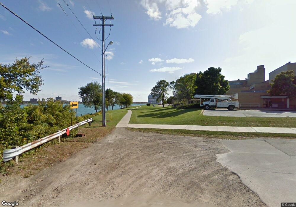
Map
Nearby Homes
- 913 Michigan St
- 201 Beers St Unit 44
- 201 Beers St Unit 53
- 201 Beers St Unit 34
- 805 Pine Grove Ave
- 718 Superior St
- 717 Superior St
- 707 Glenwood Ave
- 815 Saint Clair St
- 917 Saint Clair St
- 819 Stone St
- 923 Stone St
- 923 Dockside Dr Unit 15
- 1401 Stanton St
- 1013 Miller St
- 1433 Poplar St
- 1131 Water St
- 443 11th St
- 218 12th St
- 1012 8th St
- 800 Merchant St
- 800 Merchant St
- 830 Merchant St
- 814 Merchant St
- 902 Merchant St
- 829 Fort St
- 823 Fort St
- 910 Merchant St
- 815 Fort St Unit 8
- 815 Fort St Unit 7
- 815 Fort St Unit 6
- 815 Fort St Unit 5
- 815 Fort St Unit 4
- 815 Fort St Unit 3
- 815 Fort St Unit 2
- 815 Fort St Unit 1
- 815 Fort St Unit 3
- 815 Fort St
- 205 Glenwood Ave
- 815 Fort #6 St