Estimated Value: $244,000 - $393,832
Studio
1
Bath
2,820
Sq Ft
$118/Sq Ft
Est. Value
About This Home
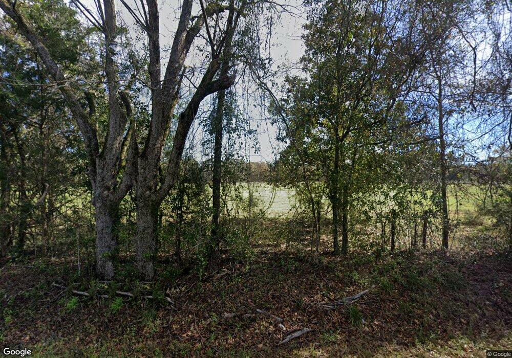
This home is located at 800 N Broad St, Ailey, GA 30410 and is currently estimated at $333,944, approximately $118 per square foot. 800 N Broad St is a home with nearby schools including Montgomery County Elementary School, Montgomery County Middle School, and Montgomery County High School.
Ownership History
Date
Name
Owned For
Owner Type
Purchase Details
Closed on
Jun 20, 2008
Sold by
B R Snooks Fam Llp
Bought by
Stanley Jeffrey
Current Estimated Value
Purchase Details
Closed on
Jul 14, 2005
Sold by
Snooks Bartow Randolph
Bought by
Patrick Brian T
Purchase Details
Closed on
Jul 13, 2005
Sold by
Snooks Nartwo Randolph
Bought by
Patrick Brian T and Patrick Janet E
Create a Home Valuation Report for This Property
The Home Valuation Report is an in-depth analysis detailing your home's value as well as a comparison with similar homes in the area
Purchase History
| Date | Buyer | Sale Price | Title Company |
|---|---|---|---|
| Stanley Jeffrey | $6,500 | -- | |
| Patrick Brian T | $51,100 | -- | |
| Patrick Brian T | $51,120 | -- |
Source: Public Records
Tax History
| Year | Tax Paid | Tax Assessment Tax Assessment Total Assessment is a certain percentage of the fair market value that is determined by local assessors to be the total taxable value of land and additions on the property. | Land | Improvement |
|---|---|---|---|---|
| 2025 | $2,947 | $96,371 | $10,335 | $86,036 |
| 2024 | $2,944 | $96,371 | $10,335 | $86,036 |
| 2023 | $2,966 | $96,371 | $10,335 | $86,036 |
| 2022 | $2,606 | $96,371 | $10,335 | $86,036 |
| 2021 | $2,588 | $96,371 | $10,335 | $86,036 |
| 2020 | $2,448 | $89,709 | $10,335 | $79,374 |
| 2019 | $2,402 | $89,709 | $10,335 | $79,374 |
| 2018 | $2,787 | $89,709 | $10,335 | $79,374 |
| 2017 | $2,787 | $89,709 | $10,335 | $79,374 |
| 2016 | $2,242 | $89,101 | $10,335 | $78,766 |
| 2015 | -- | $89,101 | $10,335 | $78,766 |
| 2014 | -- | $88,981 | $10,335 | $78,646 |
Source: Public Records
Map
Nearby Homes
- 405 N Broughton St
- 118 Gum St
- 818 W College St
- 203 E Church St
- 343 Morrison St
- 400 W Bluff St
- 202 Mcbride St
- 1025 Old Dairy Rd
- 2731 Saw Mill Rd
- 0 Dead River Rd Glenwood Unit Ga.
- 1501 Old Savannah Rd
- 111 Dead River Rd
- 3256 Georgia 29
- 956 Joe Hilton Rd
- 168 Timberloch Dr
- 100 Easy St
- 1400 1400 Lakewood Dr
- 709 Bob Sharpe Rd
- 0000 Foxfire Dr
- 198 Foxfire Dr
- 117 Ga Highway 227
- 00 Old Bethel Rd
- 153 Ga Highway 227
- 803 W Broad St
- 175 Ga Hwy 227
- 175 Ga Highway 227
- 104 Reedy Creek Dr
- 0 Reedy Creek Dr
- 800 Broad St
- 733 N Broad St
- 207 Reedy Creek Dr
- 701 N Broughton St
- 928 McBride Street Extension
- 805 McBride Street Extension
- 928 N Mcbride St
- 711 N Broughton St
- 227 Reedy Creek Dr
- 1890 Ga Highway 227
- 702 Mcbride St
- 307 Reedy Creek Dr
Your Personal Tour Guide
Ask me questions while you tour the home.
